MyTopo
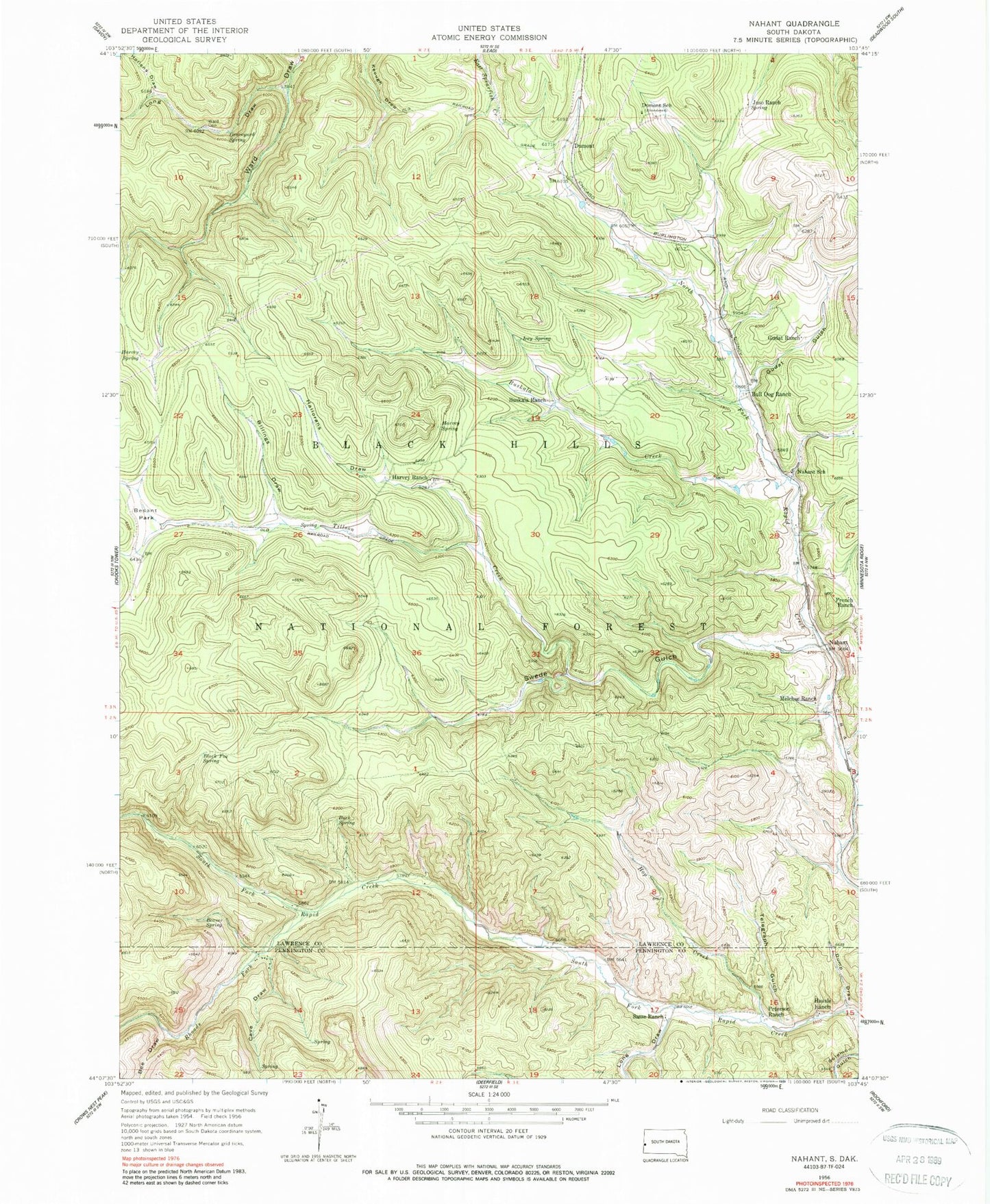
Classic USGS Nahant South Dakota 7.5'x7.5' Topo Map
Couldn't load pickup availability
Historical USGS topographic quad map of Nahant in the state of South Dakota. Typical map scale is 1:24,000, but may vary for certain years, if available. Print size: 24" x 27"
This quadrangle is in the following counties: Lawrence, Pennington.
The map contains contour lines, roads, rivers, towns, and lakes. Printed on high-quality waterproof paper with UV fade-resistant inks, and shipped rolled.
Contains the following named places: Beaver Spring, Bee Draw, Billings Draw, Black Fox Spring, Buck Spring, Bull Dog Ranch, Buskala Creek, Buskala Ranch, Cave Draw, Dumont, Dumont School, Dump Draw, French Ranch, Graveyard Spring, Gudat Gulch, Gudat Ranch, Hallorans Draw, Harvey Ranch, Harvey Spring, Harvey Spring, Hausle Ranch, Hollens Draw, Hop Creek, Irey Spring, Juso Ranch, Long Draw, Long Draw, Melcher Ranch, Nahant School, Peterson Ranch, Rhoads Fork, Sasse Ranch, Swede Gulch, Telegraph Gulch, Tillson Creek, Ward - Carr Cemetery, Beaver Spring, Black Fox Summer Homes, Seep Spring, McKay Summer Homes, Cave Draw Summer Homes, Black Fox Campground, Texana (historical), North Rapid Stage Station (historical), Elkhorn I (historical), Florence (historical), Black Fox (historical), Besant Park, Bulldog (historical), Nahant, Unorganized Territory of South Lawrence, Rickgauer Spring


