MyTopo
Classic USGS Nahmakanta Stream Maine 7.5'x7.5' Topo Map
Couldn't load pickup availability
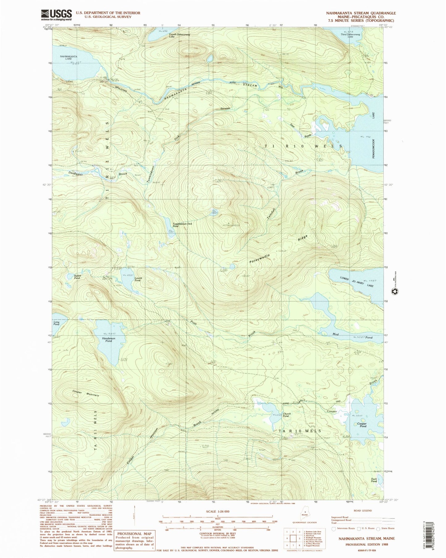
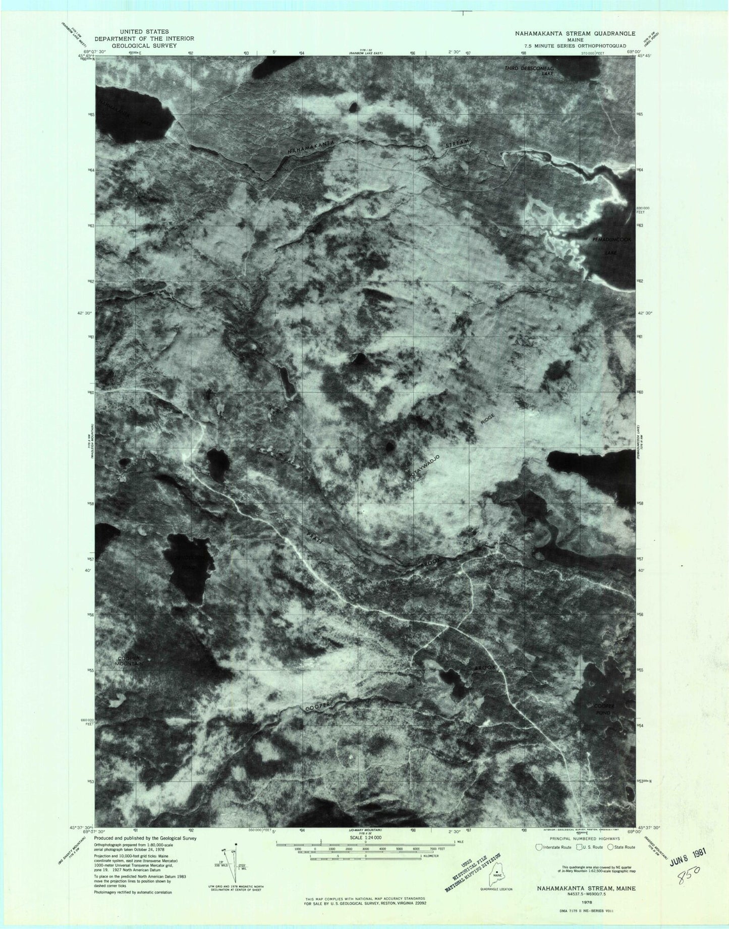
Historical USGS topographic quad map of Nahmakanta Stream in the state of Maine. Typical map scale is 1:24,000, but may vary for certain years, if available. Print size: 24" x 27"
This quadrangle is in the following counties: Piscataquis.
The map contains contour lines, roads, rivers, towns, and lakes. Printed on high-quality waterproof paper with UV fade-resistant inks, and shipped rolled.
Contains the following named places: Church Pond, Cooper Mountain, Cooper Pond, Deadwater Brook, Deer Brook, Duck Pond, Henderson Pond, Leavitt Pond, Lower Jo-Mary Lake, Mud Pond, Nahmakanta Stream, Potaywadjo Ridge, Pratt Brook, Prentiss Brook, Rabbit Pond, Tumbledown Dick Pond, Tumbledown Dick Stream, Twitchell Brook, TA R10 WELS, T1 R10 WELS