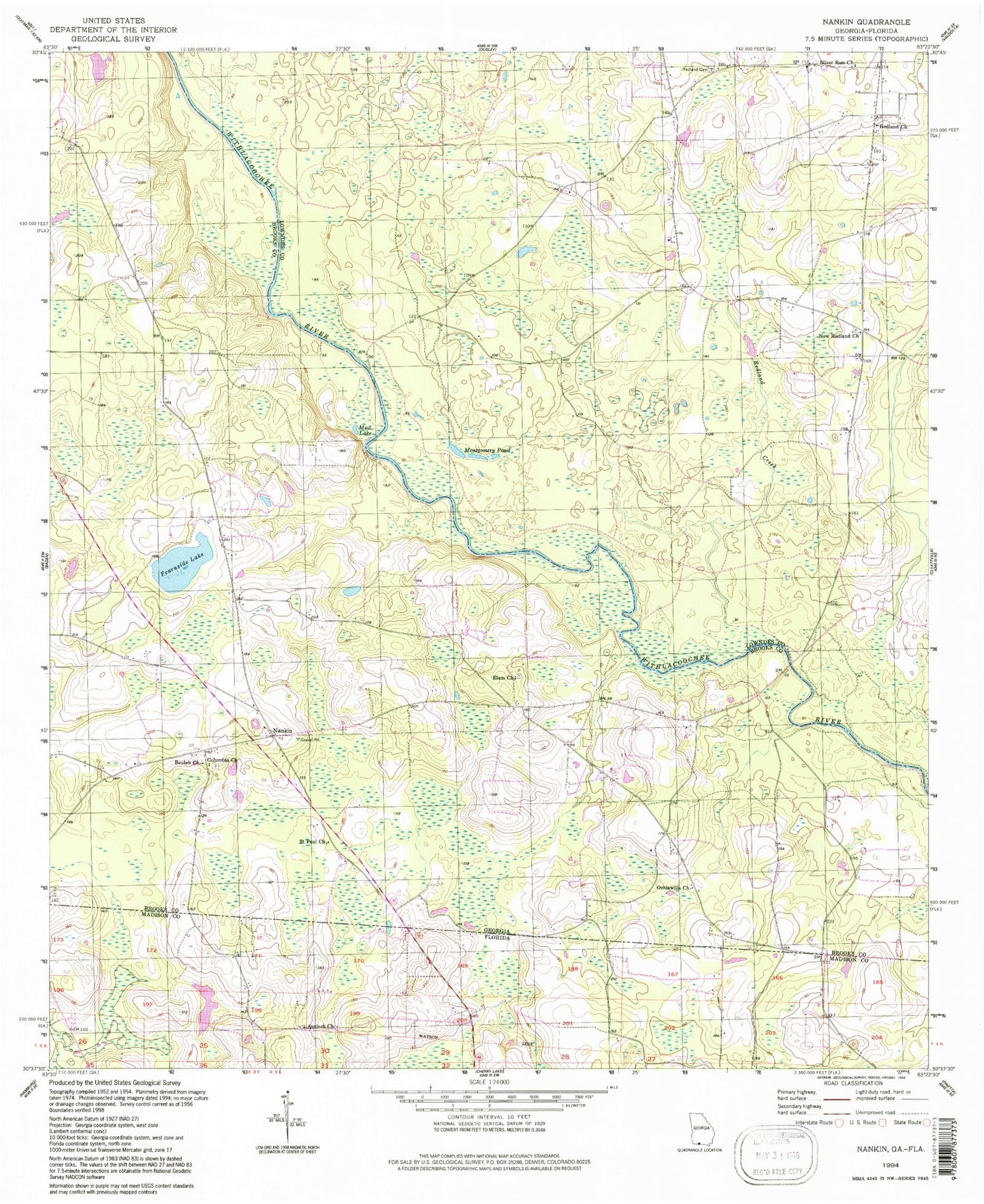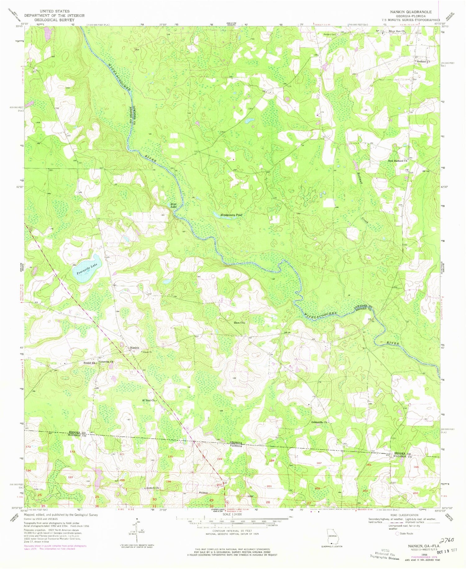
MyTopo
Classic USGS Nankin Georgia 7.5'x7.5' Topo Map
Couldn't load pickup availability
Historical USGS topographic quad map of Nankin in the states of Georgia, Florida. Map scale may vary for some years, but is generally around 1:24,000. Print size is approximately 24" x 27"
This quadrangle is in the following counties: Brooks, Lowndes, Madison.
The map contains contour lines, roads, rivers, towns, and lakes. Printed on high-quality waterproof paper with UV fade-resistant inks, and shipped rolled.
Contains the following named places: Antioch Church, Beulah Church, Clyattville Volunteer Fire Department Station 2A, Columbia Primitive Baptist Church, Columbia Primitive Baptist Church Cemetery, Elam Church, Fearnside Lake, Godwin Bluff, Horne School, Knight Bridge, Langdale Company Lake, Montgomery Pond, Mud Lake, Nankin, New Haven Church, New Redland Church, Ochlawilla Church, Redland Cemetery, Redland Church, Redland Creek, Redland School, Rocky Ford Bridge, Saint Paul Church, Silver Run Church, Sims Lake, Wade Cemetery