MyTopo
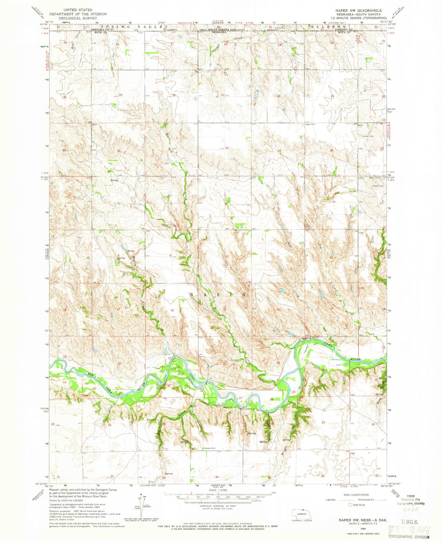
Classic USGS Naper NW Nebraska 7.5'x7.5' Topo Map
Regular price
$16.95
Regular price
Sale price
$16.95
Unit price
per
Couldn't load pickup availability
Historical USGS topographic quad map of Naper NW in the state of Nebraska. Map scale may vary for some years, but is generally around 1:24,000. Print size is approximately 24" x 27"
This quadrangle is in the following counties: Boyd, Gregory.
The map contains contour lines, roads, rivers, towns, and lakes. Printed on high-quality waterproof paper with UV fade-resistant inks, and shipped rolled.
Contains the following named places: Baptist Cemetery, Big Creek, Cline Dam, Cline Reservoir, German Cemetery, Hamling Dam, Hamling Reservoir, Lost Creek, Lutheran Cemetery, Meglin Creek, Morse Creek, Naper Creek, Oak Dale Cemetery, Silver Gulch, Township of Basin, Wright Creek, ZIP Code: 68755