MyTopo
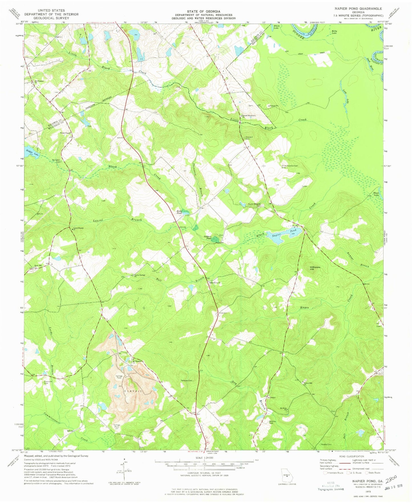
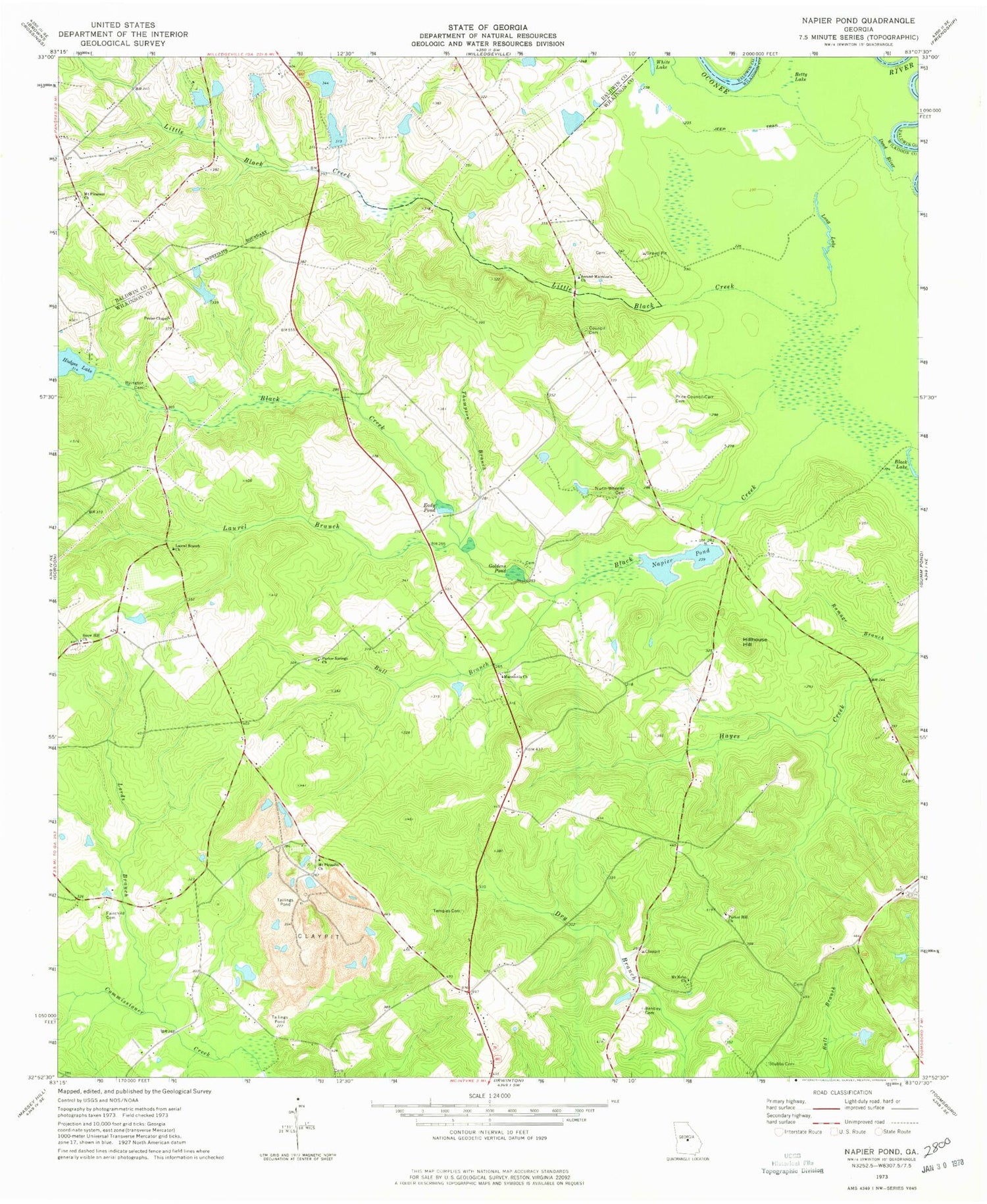
Classic USGS Napier Pond Georgia 7.5'x7.5' Topo Map
Couldn't load pickup availability
Historical USGS topographic quad map of Napier Pond in the state of Georgia. Map scale may vary for some years, but is generally around 1:24,000. Print size is approximately 24" x 27"
This quadrangle is in the following counties: Baldwin, Wilkinson.
The map contains contour lines, roads, rivers, towns, and lakes. Printed on high-quality waterproof paper with UV fade-resistant inks, and shipped rolled.
Contains the following named places: Beckham Lake, Beckham Lake Dam, Bentley Cemetery, Betty Lake, Blackkiln Branch, Bloodworths Store, Bull Branch, Byington Cemetery, Carr Corners, Council Cemetery, Davis Cemetery, Dead River, Eady Pond, Fairchild Cemetery, Forestry Pond Dam Number One, Forestry Pond Dam Number Two, Forestry Pond Number Two, Georgia State Hospital Lake, Georgia State Hospital Lake West, Georgia State Hospital Lake West Dam, Goldens Mill, Goldens Pond, Hillhouse Hill, Hodges Lake Dam, Hollinshead Pond, Hollinshead Pond Dam, Hospital Lake Number One, Hospital Lake Number One Dam, Johns Bridge, Jones Pond, Jones Pond Dam, Laurel Branch, Laurel Branch Church, Little Black Creek, Long Lake, Lords Branch, Macedonia Cemetery, Macedonia Church, Mount Carmel, Mount Nebo Cemetery, Mount Nebo Church, Mount Pleasant, Mount Pleasant Academy, Mount Pleasant Baptist Cemetery, Mount Pleasant Church, Napier Pond, Napier Pond Dam, Nunn - Wheeler Cemetery, Nunn-Wheeler Church, Parker Hill Church, Parker Springs Church, Peeler Chapel, Price - Council - Carr Cemetery, Scott Lake, Scott Lake Dam, Second Macedonia Church, Snow Hil Methodist Cemetery, Snow Hill Church, Snow Hill School, Stubbs Cemetery, Temples Cemetery, Thompson Branch, Thompson School, Trilby School, White Lake, WVKX-FM (Irwinton), Youngblood Corners, ZIP Code: 31054


