MyTopo
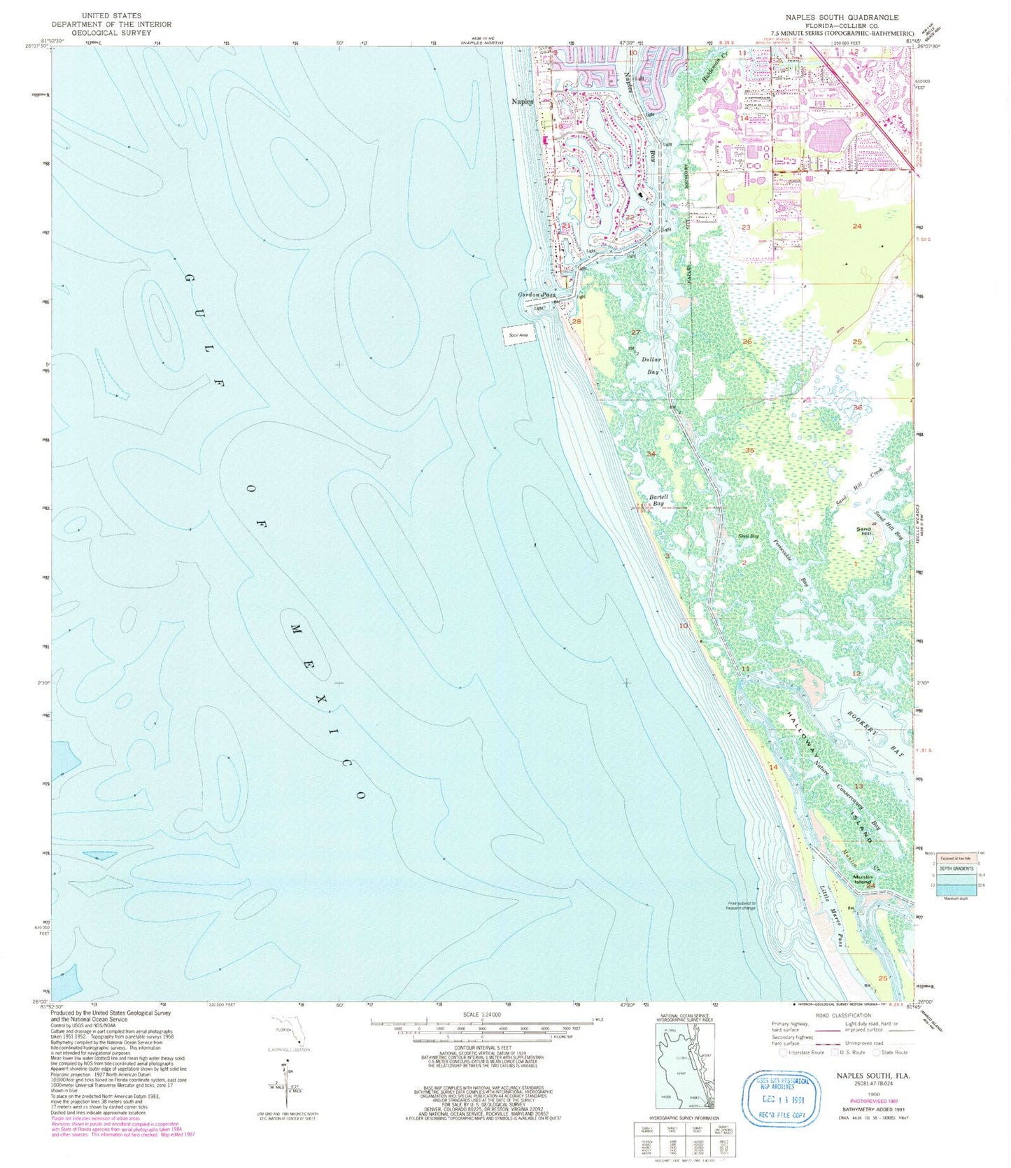
Classic USGS Naples South Florida 7.5'x7.5' Topo Map
Couldn't load pickup availability
Historical USGS topographic quad map of Naples South in the state of Florida. Map scale may vary for some years, but is generally around 1:24,000. Print size is approximately 24" x 27"
This quadrangle is in the following counties: Collier.
The map contains contour lines, roads, rivers, towns, and lakes. Printed on high-quality waterproof paper with UV fade-resistant inks, and shipped rolled.
Contains the following named places: Avalon Elementary School, Baptist Church of Estero, Bartell Bay, Calhoun Channel, Collier County Emergency Medical Services Station 22, Dollar Bay, East Naples Fire Department Control and Rescue District Station 22, Enchanting Acres Mobile Home Park, Golden Gate United Methodist Church, Gordon Pass, Gulf Shores Marina, Haldeman Creek, Halloway Island, Johns Pass, Keewaydin Island, Kokomis Ferry, Lee Memorial United Methodist Church, Little Marco Island, Little Marco Pass, Monarch Country Club, Munlin Creek, Munlin Island, Naples Bay, Nature Conservancy Bay, New Pass, Oak Tree Country Club, Ocean Hammock Golf Club, Periwinkle Bay, Port Royal, Rookery Bay, Rookery Channel, Royal Harbor, Sand Hill, Sand Hill Bay, Sand Hill Creek, Seagate Baptist Church, Shell Bay, Southpointe Marina, Stopper Creek, The First National, ZIP Code: 34101