MyTopo
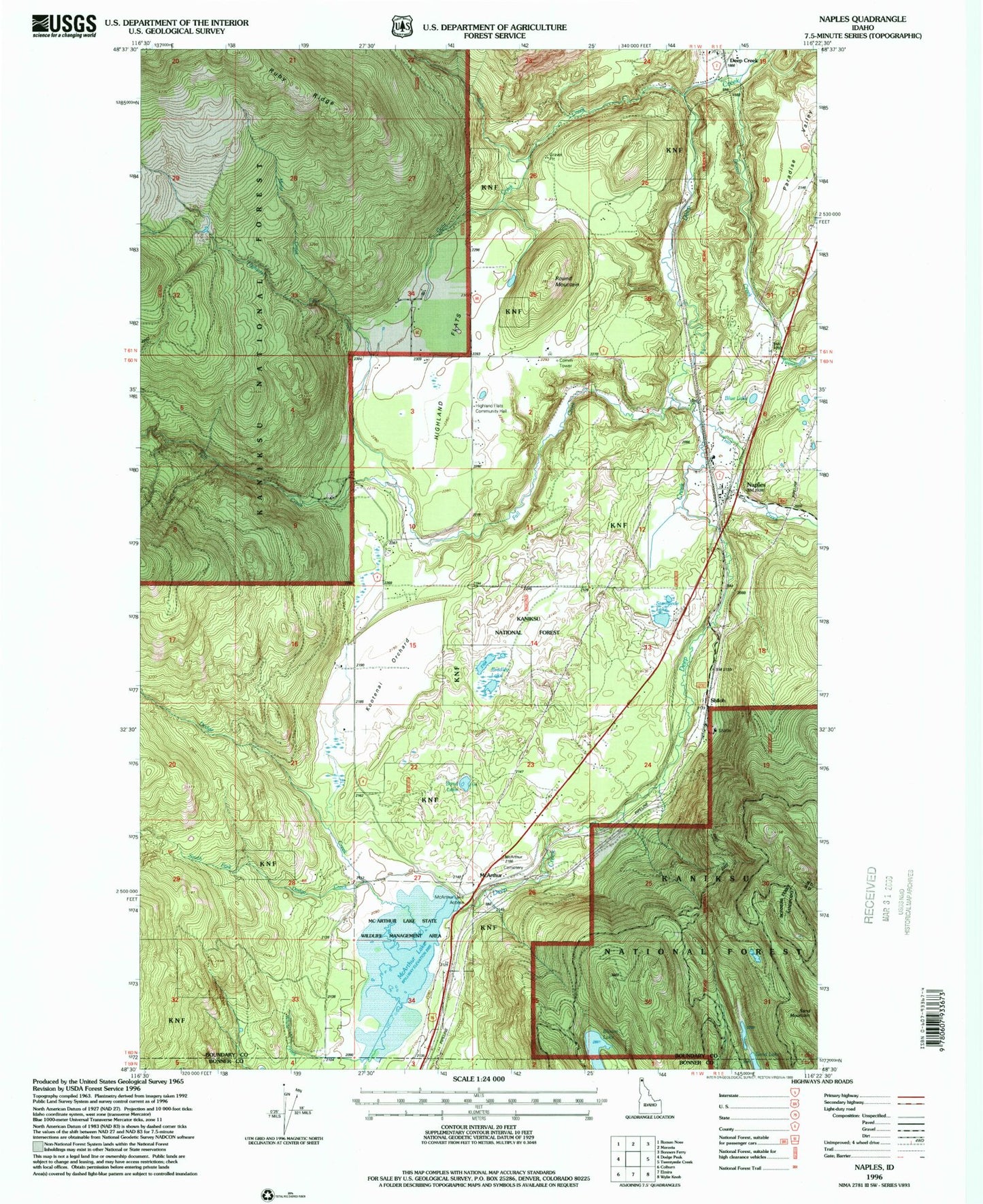
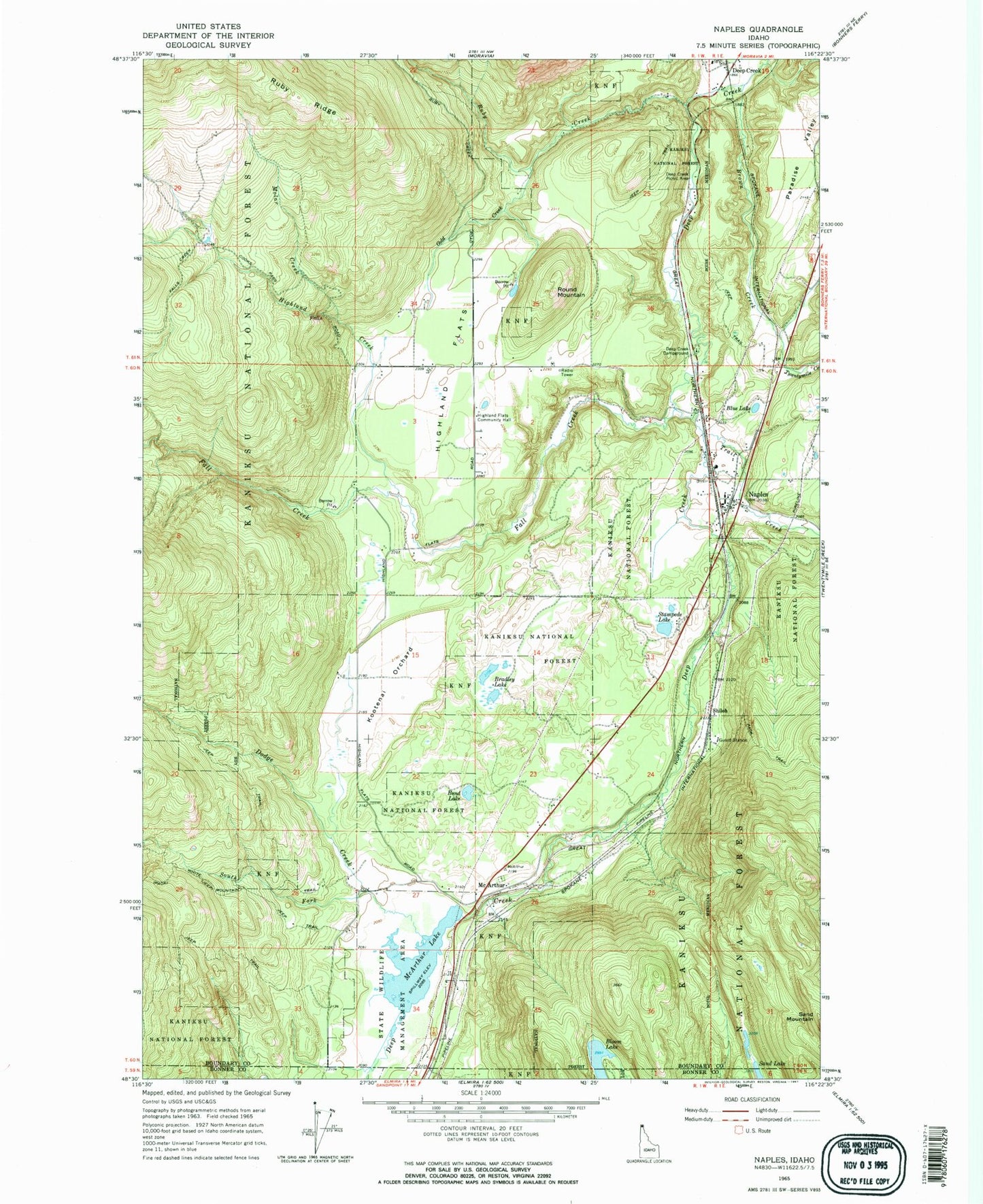
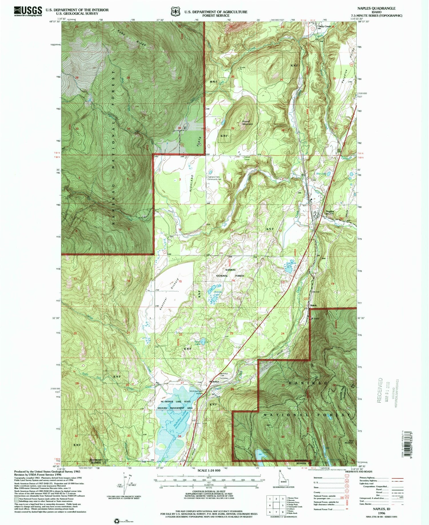
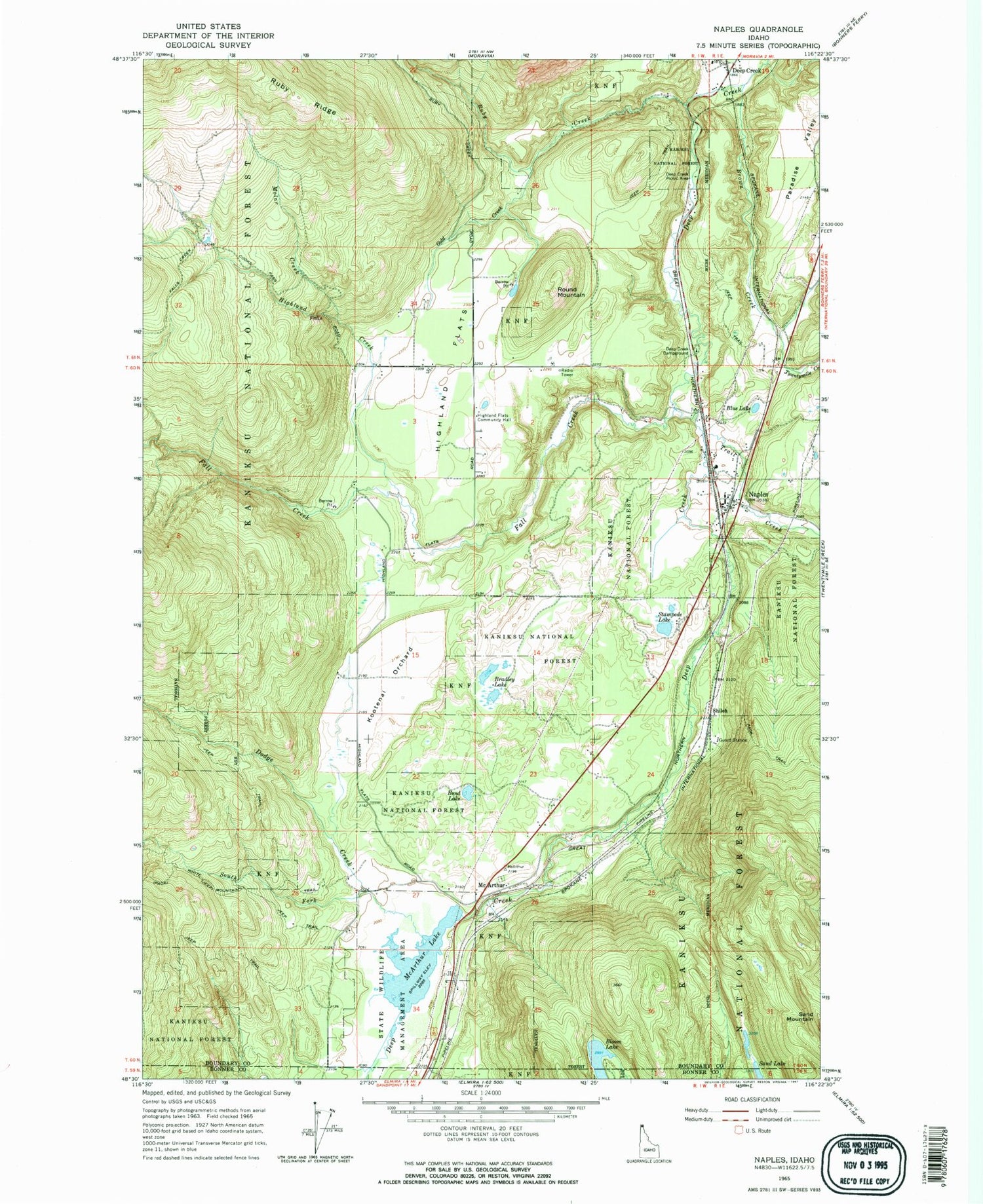
Classic USGS Naples Idaho 7.5'x7.5' Topo Map
Couldn't load pickup availability
Historical USGS topographic quad map of Naples in the state of Idaho. Typical map scale is 1:24,000, but may vary for certain years, if available. Print size: 24" x 27"
This quadrangle is in the following counties: Bonner, Boundary.
The map contains contour lines, roads, rivers, towns, and lakes. Printed on high-quality waterproof paper with UV fade-resistant inks, and shipped rolled.
Contains the following named places: White Creek, Bloom Lake, Blue Lake, Bond Lake, Bradley Lake, Brown Creek, Deep Creek Campground, Dodge Creek, Fall Creek, Gold Creek, Highland Creek, Highland Flats, Highland Flats Community Hall, Kootenai Orchard, Molar Creek, Naples, Paradise Valley, Round Mountain, Ruby Creek, Sand Lake, South Fork Dodge Creek, Stampede Lake, Trail Creek, Twentymile Creek, McArthur Lake Access, Deep Creek, Deep Creek Picnic Area, McArthur Lake, McArthur Wildlife Management Area, McArthur Dam, Mc Arthur, Shiloh, Naples Elementary School, Deep Creek Access Area, South Boundary Fire Protection District Station 1, South Boundary Fire Protection District Station Number 3, Naples Post Office


