MyTopo
Classic USGS Napoleonville SW Louisiana 7.5'x7.5' Topo Map
Couldn't load pickup availability
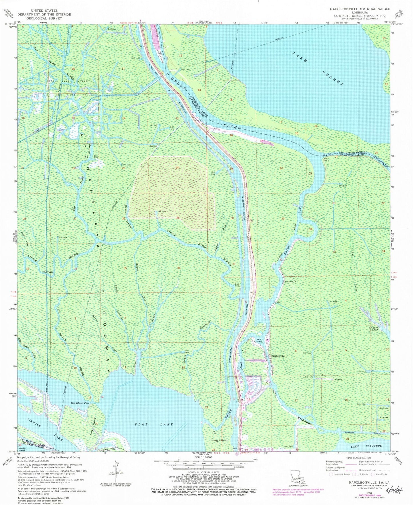
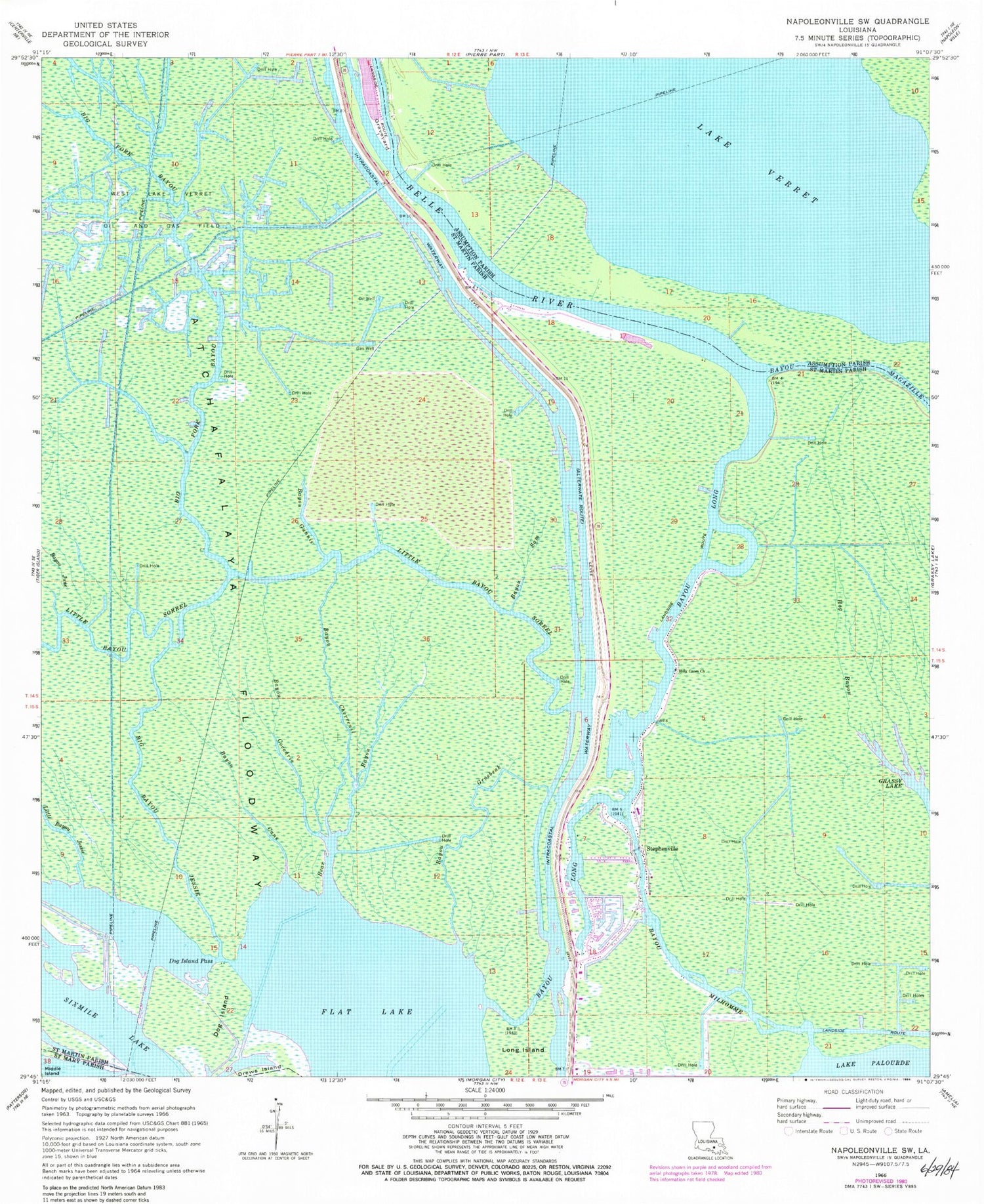
Historical USGS topographic quad map of Napoleonville SW in the state of Louisiana. Map scale may vary for some years, but is generally around 1:24,000. Print size is approximately 24" x 27"
This quadrangle is in the following counties: Assumption, St. Martin, St. Mary.
The map contains contour lines, roads, rivers, towns, and lakes. Printed on high-quality waterproof paper with UV fade-resistant inks, and shipped rolled.
Contains the following named places: Bayou Cane, Bayou Chevreuil, Bayou Cocodrie, Bayou Grosbeak, Bayou Gunnie, Bayou June, Bayou Long, Bayou Milhomme, Bayou Sam, Bear Bayou, Belle River, Big Bayou Jessie, Big Fork Bayou, Dog Island, Dog Island Pass, Flat Lake, Graveyard Island, Hog Bayou, Holy Cross Church, KFXY-FM (Morgan City), KMRC-AM (Morgan City), KVPO-FM (Berwick), Little Bayou Jessie, Little Bayou Sorrel, Stephensville Elementary School, Stephensville Gas Field, Stephensville Volunteer Fire Department, Stephensville Wastewater Treatment Plant, Stephenville, West Lake Verret Oil and Gas Field