MyTopo
Classic USGS Narcoossee SE Florida 7.5'x7.5' Topo Map
Regular price
$16.95
Regular price
Sale price
$16.95
Unit price
per
Couldn't load pickup availability
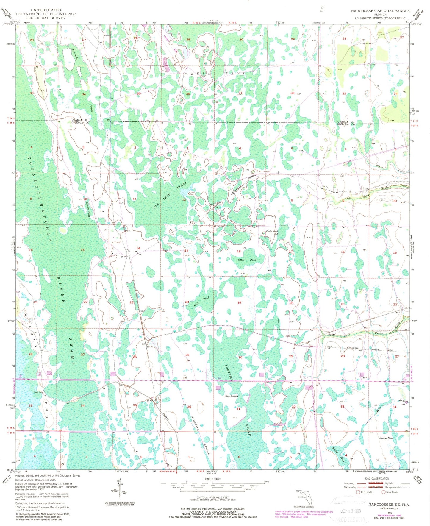
Historical USGS topographic quad map of Narcoossee SE in the state of Florida. Map scale may vary for some years, but is generally around 1:24,000. Print size is approximately 24" x 27"
This quadrangle is in the following counties: Orange, Osceola.
The map contains contour lines, roads, rivers, towns, and lakes. Printed on high-quality waterproof paper with UV fade-resistant inks, and shipped rolled.
Contains the following named places: Bee Tree Swamp, Econlockhatchee River Swamp, Fourmile Creek, Fourmile Swamp, Hell Bays, Islet Pond, LM-ETS Airport, Maple Head Pond, Otter Pond, Raulson Head, Rocky Pond, Sand Gully, Savage Pond, Sawgrass Slough, Storey Bend, Storey Crossing