MyTopo
Classic USGS Nardin Oklahoma 7.5'x7.5' Topo Map
Regular price
$16.95
Regular price
Sale price
$16.95
Unit price
per
Couldn't load pickup availability
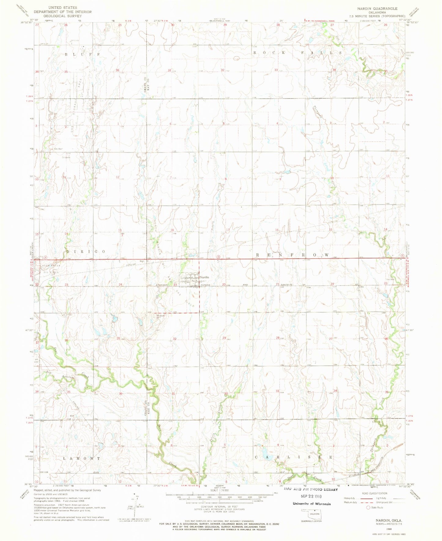
Historical USGS topographic quad map of Nardin in the state of Oklahoma. Map scale may vary for some years, but is generally around 1:24,000. Print size is approximately 24" x 27"
This quadrangle is in the following counties: Grant, Kay.
The map contains contour lines, roads, rivers, towns, and lakes. Printed on high-quality waterproof paper with UV fade-resistant inks, and shipped rolled.
Contains the following named places: Big Antelope Creek, Deer Creek Oil Field, Little Antelope Creek, Mount Olive Cemetery, Nardin, Nardin Census Designated Place, North Nardin Oil and Gas Field, Oknoname 071020 Dam, Oknoname 071020 Reservoir, Township of Renfrow, ZIP Code: 74646