MyTopo
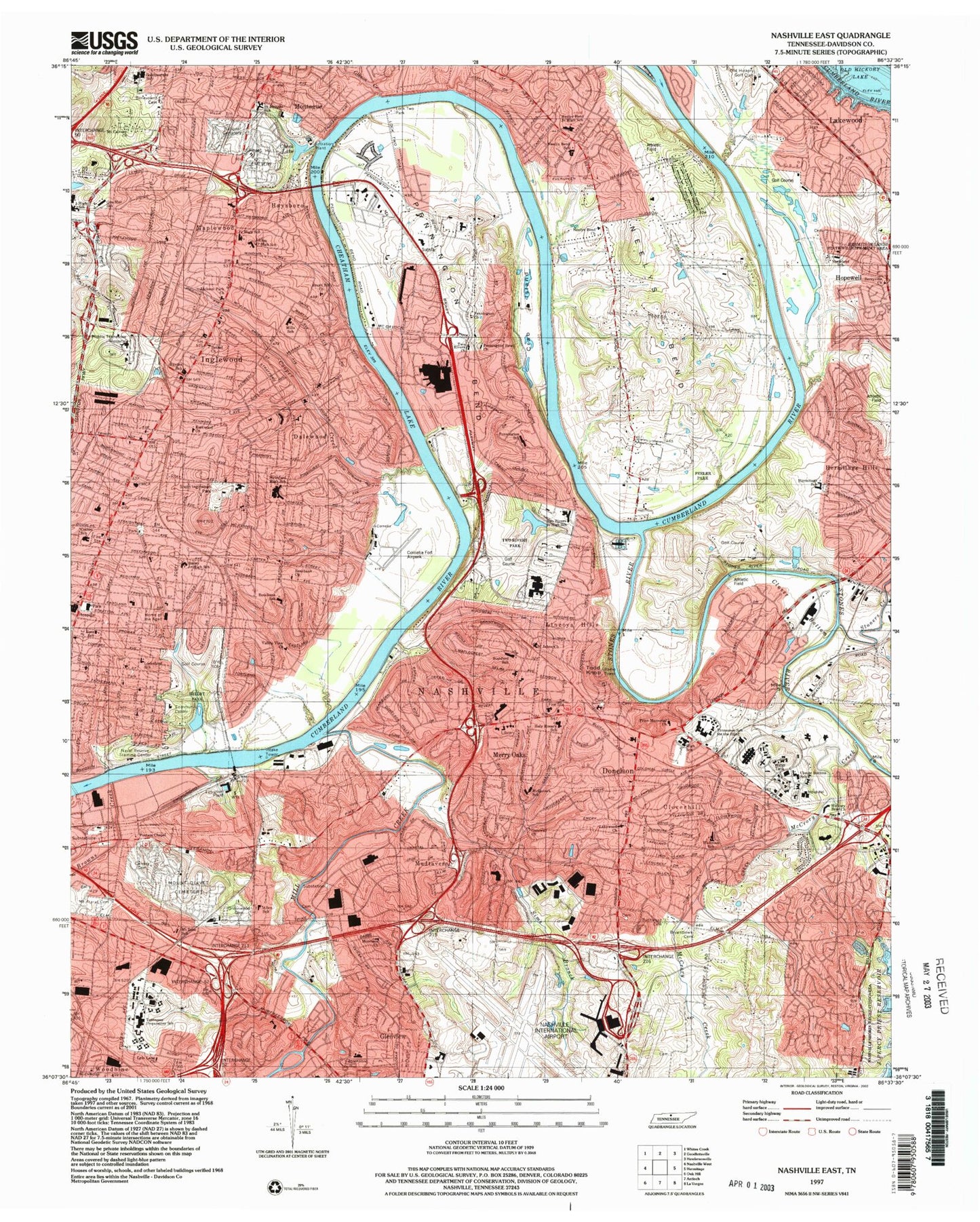
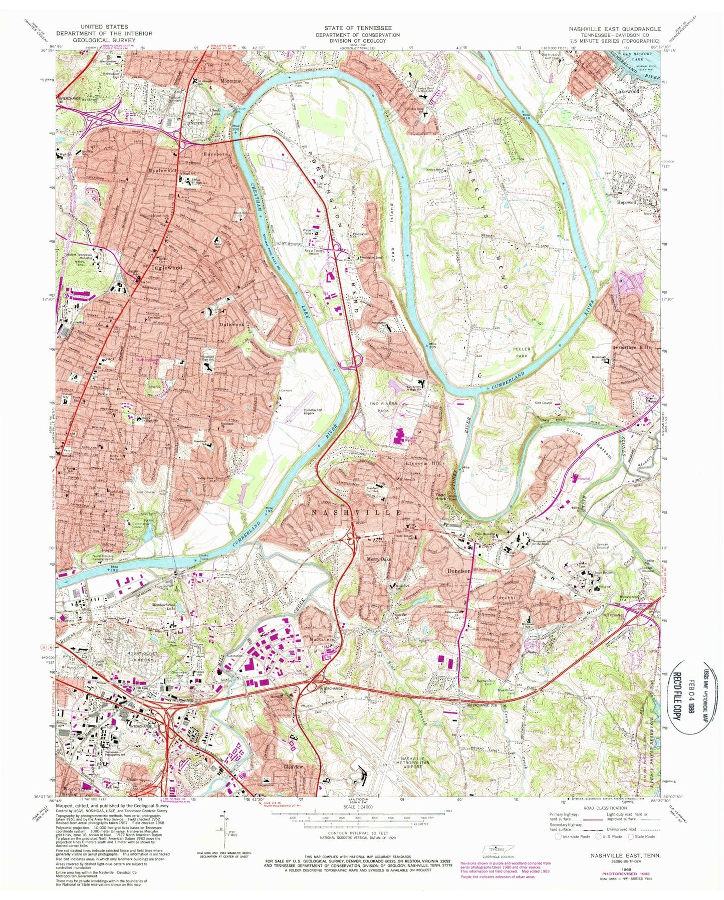
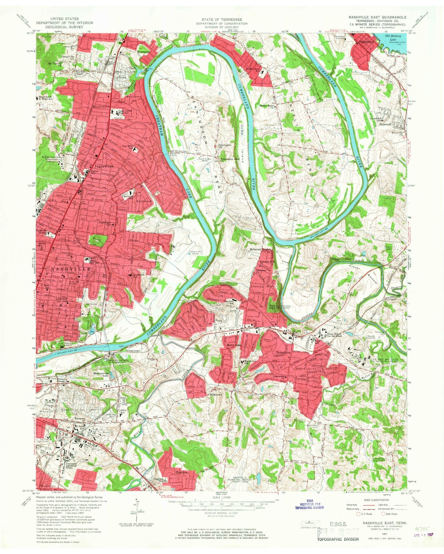
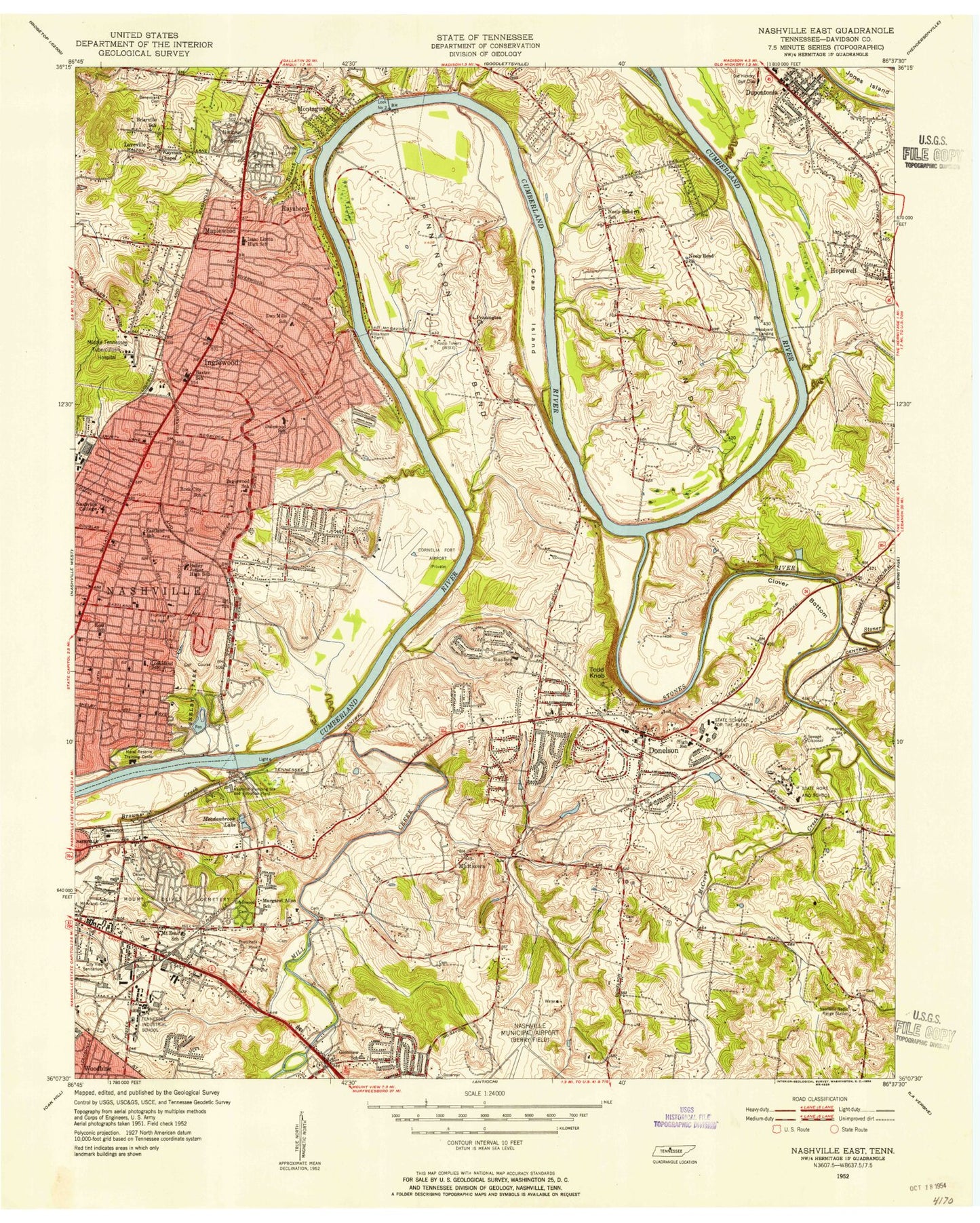
Classic USGS Nashville East Tennessee 7.5'x7.5' Topo Map
Couldn't load pickup availability
Historical USGS topographic quad map of Nashville East in the state of Tennessee. Typical map scale is 1:24,000, but may vary for certain years, if available. Print size: 24" x 27"
This quadrangle is in the following counties: Davidson.
The map contains contour lines, roads, rivers, towns, and lakes. Printed on high-quality waterproof paper with UV fade-resistant inks, and shipped rolled.
Contains the following named places: Mount Ararat Cemetery, Shelby Park, Sims Branch, Spring Hill Cemetery, Stanford School, Stateland School, Stoners Creek, Stones River, Stratford High School, Two Rivers Park, Wayman Chapel, Bailey STEM Magnet Middle School, Benevolent Cemetery, Berryville Church, Bethel Church, Browns Creek, Bryantown Family Cemetery, Buchanan Cemetery, Calvary Cemetery, Cheek Lake, Clover Bottom, Clover Bottom School, Cloverhill, Dalewood, Ebenezer Church, Fosters Chapel, Gar-Mar School, Gateway Church, Glenview, Greenwood Cemetery, Harsh Church, Hermitage Hills, Home of the Aged, Hopewell, Inglewood, Isaac Litton High School, Lakewood, Lincoya Hills, Lock Two Park, Lockeland Design Center Elementary School, Maplewood, Maplewood High School, Meadowbrook Lake, Merry Oaks, Mill Creek, Montague, Mount Calvary Church, Mount Olivet Cemetery, Mount Zeno School, Nawakwa Trail, Neelys Bend Church, Old Hickory Golf Club, Peeler Park, Rosebank Elementary School, Ross School, Saint Josephs School, Cornelia Fort Airpark (historical), Nashville Memorial Hospital Airport, Two Rivers Lake, Two Rivers Lake Dam, Cheek Lake, Cheek Dam, McCrory Creek, Todd Knob, Two Rivers Church, Two Rivers High School, Valley View Church, Allen School, Brush Hill Church, Cooper Creek, Cotton School, Crab Island, Donelson, Donelson Church, Gibson Creek, Goodpasture School, Haysboro, Hickory Bend Church, Holy Rosary School, Jackson Park Church, Lakewood Church, Loves Branch, Lyle Lane Church, Middle Tennessee Hospital, Dan Mills Elementary School, Morrison Church, Mudtavern, Neelys Bend, Neelys Bend Junior High School, Pennington Bend, Pennington Bend Church, Pennington Church, Price Memorial Church, Rosebank Church, Saint Johns Church, Nashville International Airport, Carlyle Ferry (historical), Dog Town (historical), Hite (historical), Hocketts Ford, Jimtown (historical), Loveville (historical), Marvel (historical), Ninemile Ferry (historical), Penningtons Ferry (historical), Rosebank, Saint James the Less Episcopal Church, Broadmoor Baptist Church, Eastwood Church, Abundant Life Church of God, Aharts Mill (historical), Bible Christian Academy, Bible Pentecostal Church, Body of Christ Church, Briarville School (historical), Bryant School (historical), John Buchanan Cemetery, Buchanan Station (historical), Burrs Landing, Calvary Assembly of God Church, Central Baptist Church, Chapel Avenue Church of Christ, City View Sanitarium (historical), Clover Bottom Hospital, Clover Bottom Plantation (historical), Cora Howe School, Crescent Plaza Shopping Center, Crescent Plaza Shopping Center, Dalewood School, Donelson Christian School, Donelson Church of Christ, Donelson Church of God, Donelson Church of the Nazarene, Donelson Cumberland Presbyterian Church, Donelson Heights United Methodist Church, Donelson Hospital, Donelson Junior High School, Donelson Plaza Shopping Center, Donelson Primary School, Donelsons Station (historical), Donelson View Baptist Church, Due West Shopping Center, East End United Methodist Church, East Nashville United Pentecostal Church, East Side Church of Christ, Eastland Baptist Church, Eastland Church of Christ, Eastland School (historical), Eastwood Christian Church, Nashville Rehabilitation Hospital, Nashville Shores Recreation Area, Fatherland Street Church of the Nazarene, First Baptist Church of Donelson, First Baptist Church of South Inglewood, Glenview School, Goodlettesville Middle School, Harmony Missionary Baptist Church, Hobson United Methodist Church, Holy Rosary Catholic Church, Inglewood Elementary School, Isaac Litton Middle School, Issac Linton High School, Jesus Only Tabernacle, Kern Memorial United Methodist Church, Lakewood Marina, Lincoya Hills Baptist Church, Lockeland Baptist Church, Loves Mill (historical), Maplewood High School, Memorial Lutheran Church, McCrorys Creek Church (historical), Miracle Worker Temple, Nashville Auto Diesel College, Nashville Pumping Station and Filtration Plant, Neely Bend Church (historical), Neely Bend School (historical), Opryland, Our Lords Church, Porter Heights Baptist Church, Priestly School for Girls (historical), Ravenwood Country Club, Riverside Baptist Church, Riverside Drive Church of Christ, Riverview Golf Course, Saint Philips Episcopal Church, Shelby Avenue Church of Christ, Shelby Park Community Center, Temple Baptist Church, Tennessee Preparatory School, Trabues Mill (historical), Trinity Lane Church of Christ, Two Rivers Golf Club, Wayman Chapel, South Inglewood Park, Woodbine Christian Academy, Woodbine Freewill Baptist Church, Woodland Presbyterian Church, Woodyard Landing, Lyle Lane Baptist Chapel, Home Mission Holiness Church, Gospel Truth Missionary Baptist Church, Dalebrook Lane Church of Christ, Inglewood Presbyterian Church, East Nashville General Baptist Church, Scott Avenue Church of Christ, Dalewood Baptist Church, Riverwood Church of Christ, Inglewood United Methodist Church, Inglewood Baptist Church, Eastminster Presbyterian Church, Inglewood Church of the Nazarene, Gallatin Road Baptist Church, WAMB-AM (Donelson), WSIX-AM (Nashville), Dodson Ferry (historical), Donelson Christian Church, Donelson Presbyterian Church, Fuqua Cemetery, Hayes Cemetery, Hogshead Station (historical), McLeans Bend, McWhirtersville School (historical), Mud Tavern School (historical), Old Donelson Horse Ford, Old Lock and Dam Number Two (historical), Opryland Dock, Pennington Bend Bridge, Perry Heights Church of Christ, Priestly Springs, Shelby Park Access Area, McGavock High School, Fosters Hill, Upper City Island (historical), Vultee Church of Christ, New Freedon Missionary Baptist Church, Saint James African Methodist Episcopal Church


