MyTopo
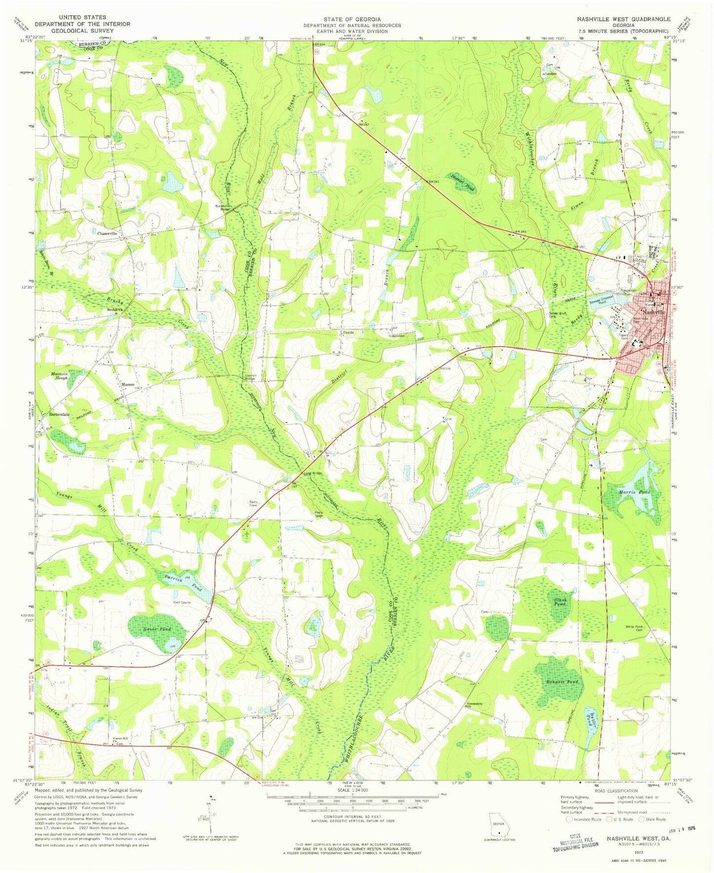
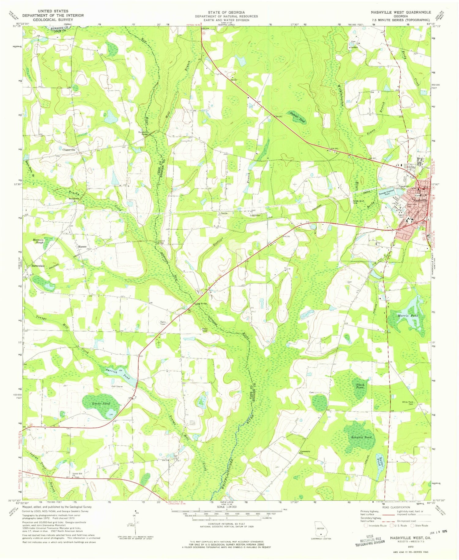
Classic USGS Nashville West Georgia 7.5'x7.5' Topo Map
Couldn't load pickup availability
Historical USGS topographic quad map of Nashville West in the state of Georgia. Map scale may vary for some years, but is generally around 1:24,000. Print size is approximately 24" x 27"
This quadrangle is in the following counties: Berrien, Cook.
The map contains contour lines, roads, rivers, towns, and lakes. Printed on high-quality waterproof paper with UV fade-resistant inks, and shipped rolled.
Contains the following named places: Alpha School, Askew Memorial Hospital, Barnesdale, Bennett Cemetery, Bennett Pond, Berrien County Farm, Berrien County Jail, Berrien County Sheriff's Office, Berrien Nursing Center, Beulah Church, Brushy Creek, Buckholts Bridge, Butler Pond, Carrie Dorsey Perry Memorial Library, Chaserville, Chaserville - Massee Volunteer Fire Department, Church of God, Community Church, Connell Bridge, Connell Cemetery, Cottle, Cross Roads Wesleyan Methodist Church, District Branch, District Pond, Dogwood Street Recreation Area, First Baptist Church of Nashville, Forest Hill Church, Futch Branch, Goose Pond, Grovania School, Long Bridge, Long Bridge Church, Massee, Massee Baptist Church, Midway School, Moccasin Slough, Morris Pond, Nashville, Nashville Church of Christ, Nashville City Hall, Nashville Elementary School, Nashville Fire Department, Nashville Police Department, Nashville Post Office, Nashville Primitive Baptist Church, Nashville United Methodist Church, Nashville Vocational School, New River, Old City Cemetery, Parrish Pond, Parrish Pond Dam, Reedy Creek, Rosin Dam Branch, Sandy Bluff Cemetery, Simon Branch, Slash Pond, Tygart Cemetery, Tygart Park, West View Cemetery, Wheeler Griner Cemetery, WJYF-FM (Nashville), Wolf Branch, WVGA-TV (Valdosta)


