MyTopo
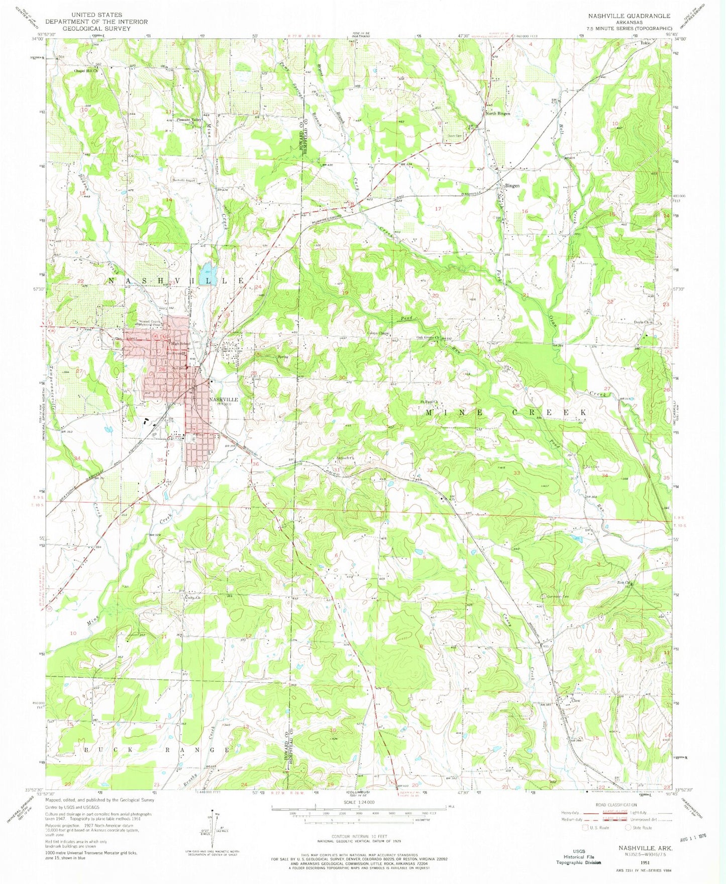
Classic USGS Nashville Arkansas 7.5'x7.5' Topo Map
Couldn't load pickup availability
Historical USGS topographic quad map of Nashville in the state of Arkansas. Map scale may vary for some years, but is generally around 1:24,000. Print size is approximately 24" x 27"
This quadrangle is in the following counties: Hempstead, Howard.
The map contains contour lines, roads, rivers, towns, and lakes. Printed on high-quality waterproof paper with UV fade-resistant inks, and shipped rolled.
Contains the following named places: Amity Church, Antioch Church, Bellair, Bingen, Bingen Volunteer Fire Department, Bryant Branch, Cary Creek, Chapel Hill, Chapel Hill Church, Chapel Hill School, City of Nashville, Clow, Coleys Chapel, Compton, Cummings Cemetery, Dodson Creek, Doyle, Doyle Church, Fair Acre School, First Christian Church, First Presbyterian Church, Holt Creek, Howard County Airport, Howard County Ambulance, Howard County Courthouse, Howard County Sheriff's Office, KBHC-AM (Nashville), KNAS-FM (Nashville), Lake Nickels, Lake Nickels Dam, Nashville, Nashville Cemetery, Nashville Elementary School, Nashville High School, Nashville Junior High School, Nashville Police Department, Nashville Post Office, Nashville Primary School, Nashville Volunteer Fire Department, North Bingen, North Fork Ozan Creek Watershed Site Five Dam, North Fork Ozan Creek Watershed Site Reservoir, North Fork Ozan Creek Watershed Site Three Dam, Oak Grove Church, Pleasant Valley Church, Pump Springs Branch, Saint Paul Church, Temperanceville Creek, Toland Heights Fire Station, Township of Mine Creek, Township of Nashville, Union School, Unity, Unity Church, Zion Church, ZIP Code: 71852


