MyTopo
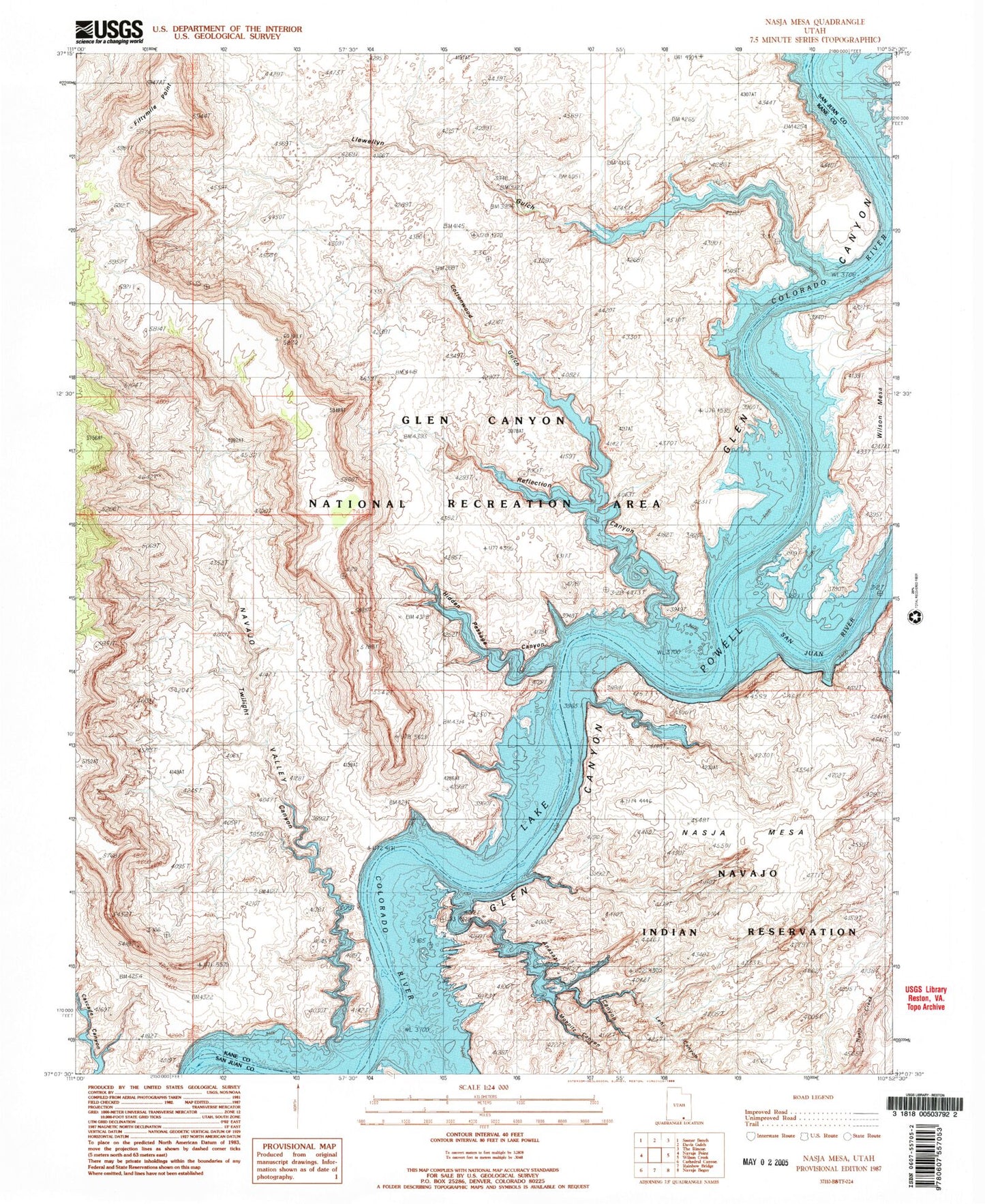
Classic USGS Nasja Mesa Utah 7.5'x7.5' Topo Map
Couldn't load pickup availability
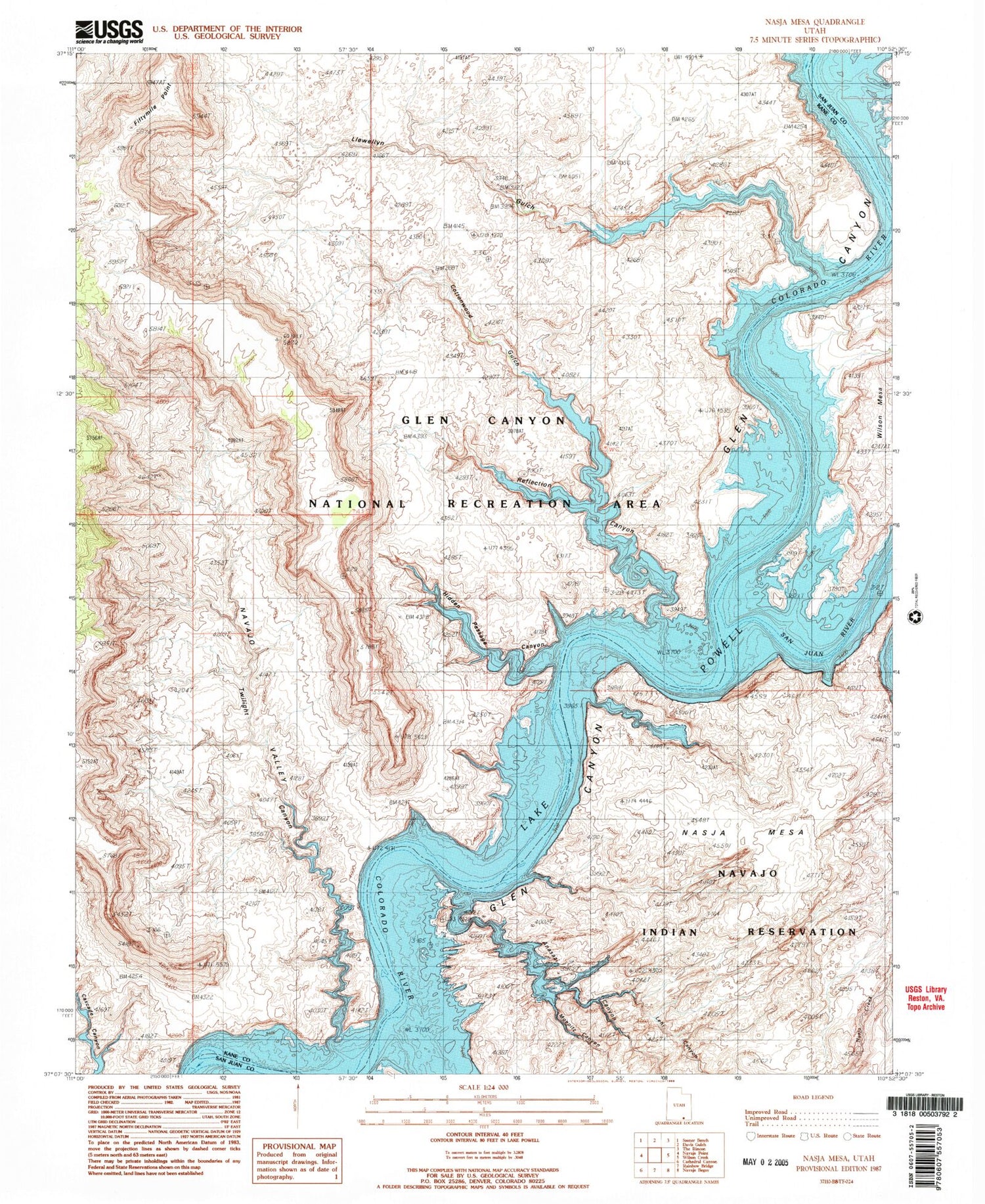
Historical USGS topographic quad map of Nasja Mesa in the state of Utah. Typical map scale is 1:24,000, but may vary for certain years, if available. Print size: 24" x 27"
This quadrangle is in the following counties: Kane, San Juan.
The map contains contour lines, roads, rivers, towns, and lakes. Printed on high-quality waterproof paper with UV fade-resistant inks, and shipped rolled.
Contains the following named places: Anasazi Canyon, Cottonwood Canyon, Cottonwood Gulch, Fiftymile Point, Lehi Canyon, Llewellyn Gulch, Moepitz Canyon, Nasja Mesa, Register Rock, Twilight Canyon, Navajo Valley, Karnaba Spring (historical), Melody Spring (historical), Reflection Canyon, Hidden Passage Canyon, Hoskaninni Company Road, Music Temple Bar (historical), San Juan Placer Claim (historical), San Juan River, San Juan Valley, Twilight Arch


