
MyTopo
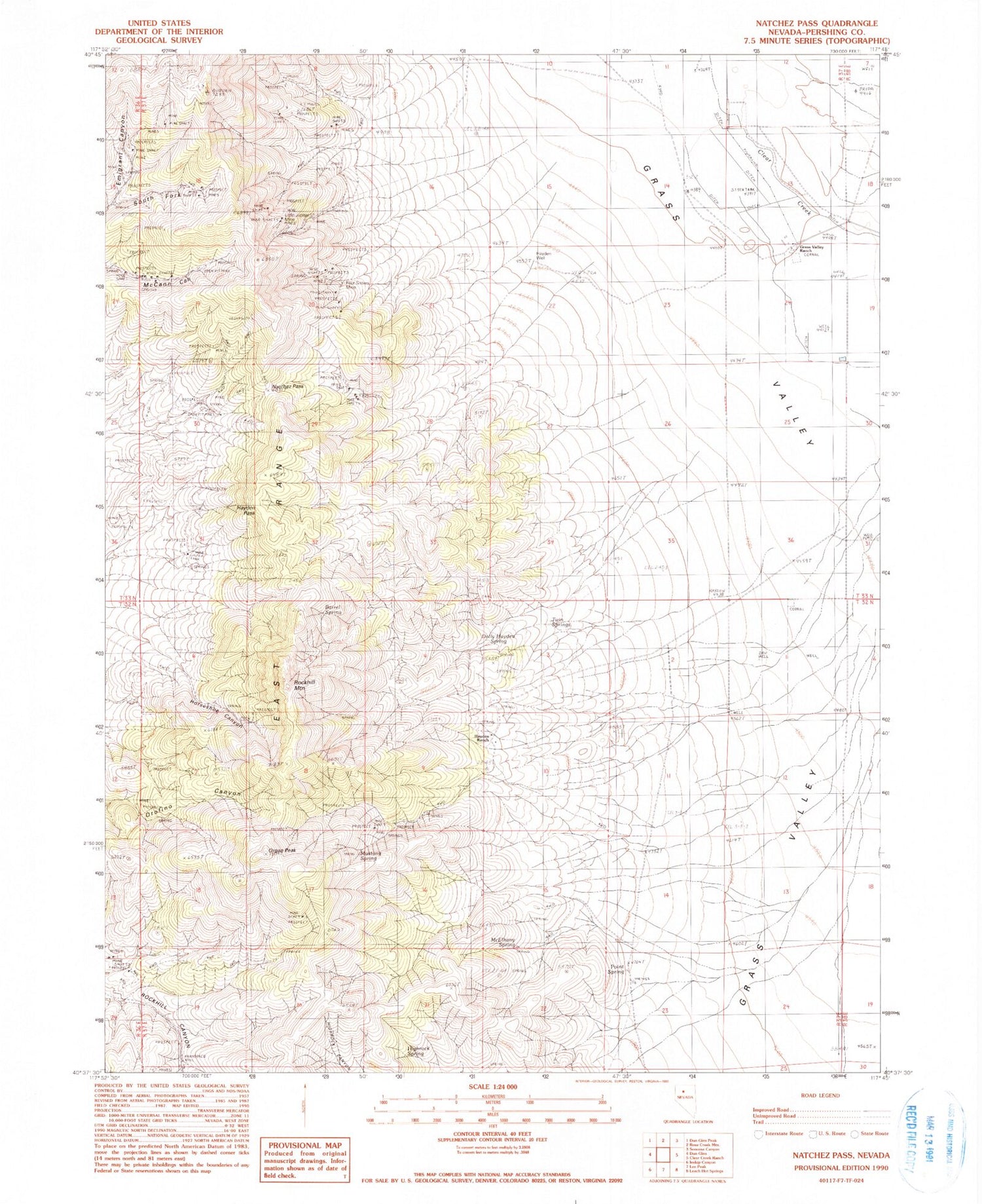
Classic USGS Natchez Pass Nevada 7.5'x7.5' Topo Map
Couldn't load pickup availability
Historical USGS topographic quad map of Natchez Pass in the state of Nevada. Map scale may vary for some years, but is generally around 1:24,000. Print size is approximately 24" x 27"
This quadrangle is in the following counties: Pershing.
The map contains contour lines, roads, rivers, towns, and lakes. Printed on high-quality waterproof paper with UV fade-resistant inks, and shipped rolled.
Contains the following named places: Auld Lang Syne Mill, Barbersville, Barrel Spring, Blackhawk Mine, Bonnie Briar, Bonnie Briar Post Office, Dolly Hayden Spring, East Range, Eclipse Mine, Floyds Shaft, Four Sisters Mine, Gem Creek, Gem Mine, Gemville, Grass Valley Ranch, Hayden Pass, Hayden Ranch, Hayden Well, Highrock Spring, Horseshoe Canyon, Little Jupiter Mine, Mayflower Mine, McElhany Spring, Mustang Spring, Natchez Pass, Organ Peak, Point Spring, Rockhill Mountain, Sierra Mining District, Stonehouse, Straub, Sweet Mine, Twin Springs


