MyTopo
Classic USGS Nathan Arkansas 7.5'x7.5' Topo Map
Couldn't load pickup availability
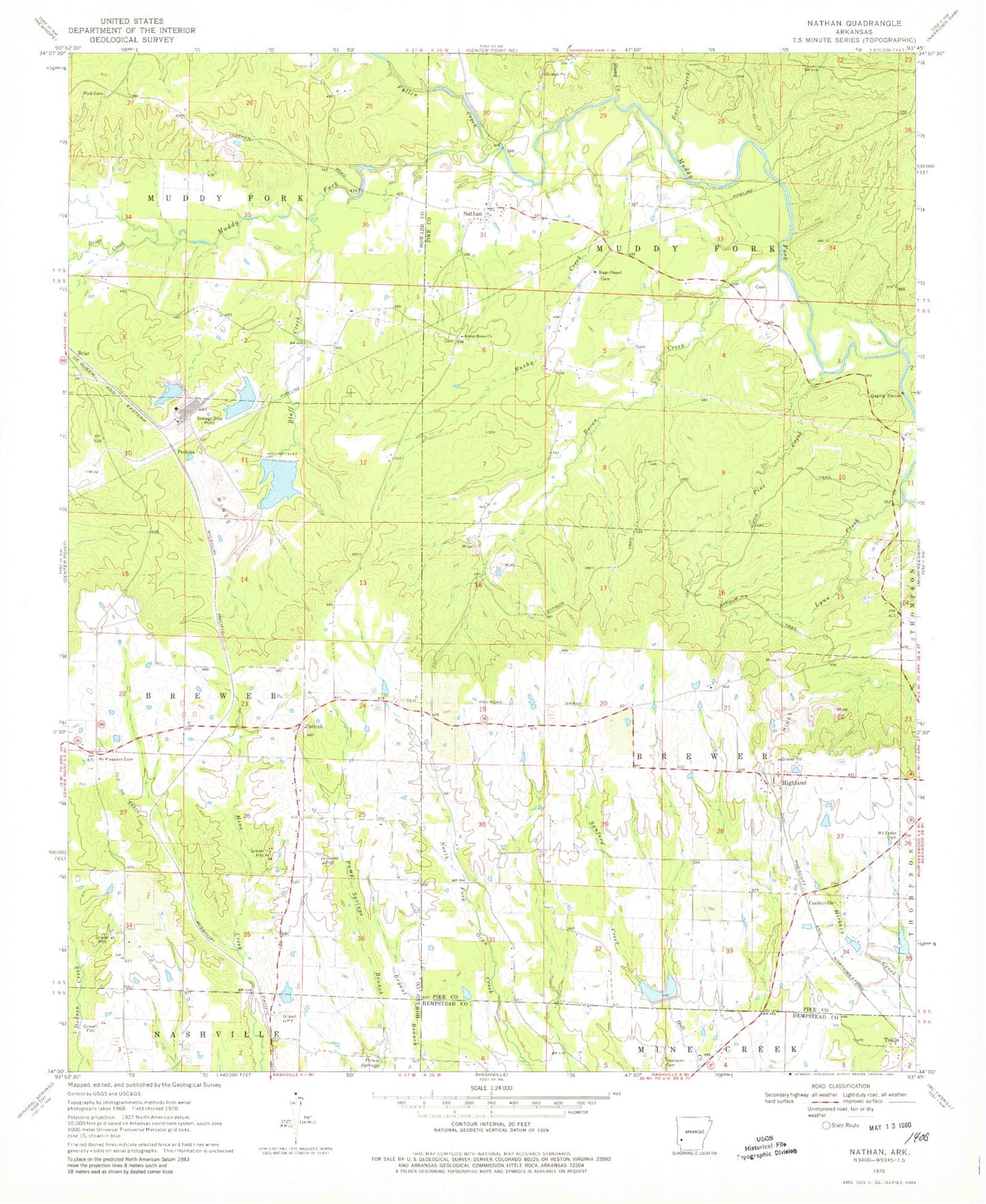
Historical USGS topographic quad map of Nathan in the state of Arkansas. Map scale may vary for some years, but is generally around 1:24,000. Print size is approximately 24" x 27"
This quadrangle is in the following counties: Hempstead, Howard, Pike.
The map contains contour lines, roads, rivers, towns, and lakes. Printed on high-quality waterproof paper with UV fade-resistant inks, and shipped rolled.
Contains the following named places: Bacon Creek, Biggs Chapel Methodist Church, Bluff Creek, Briar, Briar Creek, Briar Plant Lake One, Briar Plant Lake One Dam, Briar Plant Lake Three, Briar Plant Lake Three Dam, Briar Plant Lake Two, Briar Plant Lake Two Dam, Brushy Creek, Buck Creek, Cooleyville, Corinth, Corinth Cemetery, Corinth Church of Christ, Davis Lake, Davis Lake Dam, Ebenezer Cemetery, Fallen Creek, Gypsum Trail, Highland, Kizzia Trail, Lynn Creek, McClure Lake, McClure Lake Dam, Mount Pleasant Cemetery, Mount Pleasant School, Mount Tabor Cemetery, Mount Tabor Methodist Church, Nathan, Nathan Church of Christ, Nathan Volunteer Fire Department, North Fork Ozan Creek Site Four Dam, North Fork Ozan Creek Site Four Reservoir, North Fork Ozan Creek Site One Dam, North Fork Ozan Creek Site Two Dam, North Fork Ozan Creek Watershed Number One Reservoir, North Fork Ozan Creek Watershed Number Two Reservoir, Norvelle, Perkins, Pine Creek, Polk Cemetery, Pump Spring, Pump Springs, Reed, Reed School, Sanford Creek, Stony Creek, Sweet Home Missionary Baptist Church, Teeter Lake, Teeter Lake Dam, Tetter Lake Two, Tetter Lake Two Dam, Tokio, Township of Brewer, Township of Muddy Fork


