MyTopo
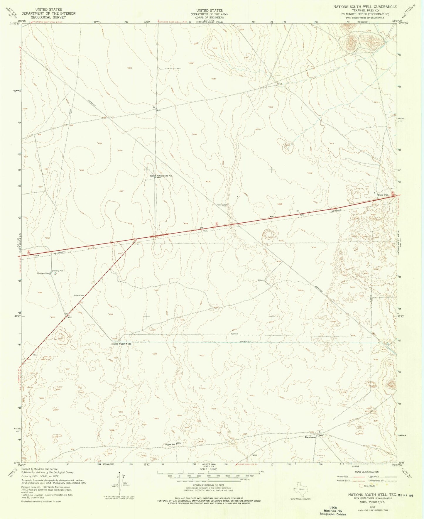
Classic USGS Nations South Well Texas 7.5'x7.5' Topo Map
Couldn't load pickup availability
Historical USGS topographic quad map of Nations South Well in the state of Texas. Map scale may vary for some years, but is generally around 1:24,000. Print size is approximately 24" x 27"
This quadrangle is in the following counties: El Paso.
The map contains contour lines, roads, rivers, towns, and lakes. Printed on high-quality waterproof paper with UV fade-resistant inks, and shipped rolled.
Contains the following named places: Dagger Well, Deep Well, Deerfield Park Colonia, Desert Glen Colonia, East Wind Estates Colonia, El Paso County, Fern Village Number 1 Colonia, Homestead Homes Colonia, Homestead Meadows, Homestead Meadows North Census Designated Place, Homestead Meadows South Census Designated Place, Homestead Meadows South Number 1 Colonia, Homestead Meadows South Number 2 Colonia, Homestead Meadows South Number 3 Colonia, Homestead Meadows South Number 4 Colonia, Homestead Meadows South Number 5 Colonia, Homestead Meadows South Number 6 Colonia, Hueco Water Wells, Las Casitas Number 1 Colonia, Las Casitas Number 2 Colonia, Las Casitas Number 3 Colonia, Las Quintas Colonia, Las Quintas Number 2 Colonia, McCracken Estates Colonia, Montana Land Estates Colonia, Montana Vista Elementary School, Montana Vista Fire Rescue Station 1, Montana Vista Fire Rescue Station 2, Montana Vista Primary School, Mountain Meadows Estates Colonia, Mountain View High School, Mountain View High School Baseball Field, Mountain View High School Softball Field, Mountain View High School Stadium, Nations South Well, Paso del Rey Colonia, Paso del Rey Number 2 Colonia, Paso el Rey Number 3 Colonia, Paso View Colonia, Paso View Number 2 Colonia, Paso View West Colonia, Rockhouse, Spanish Baptist Church, The Hueco Club


