MyTopo
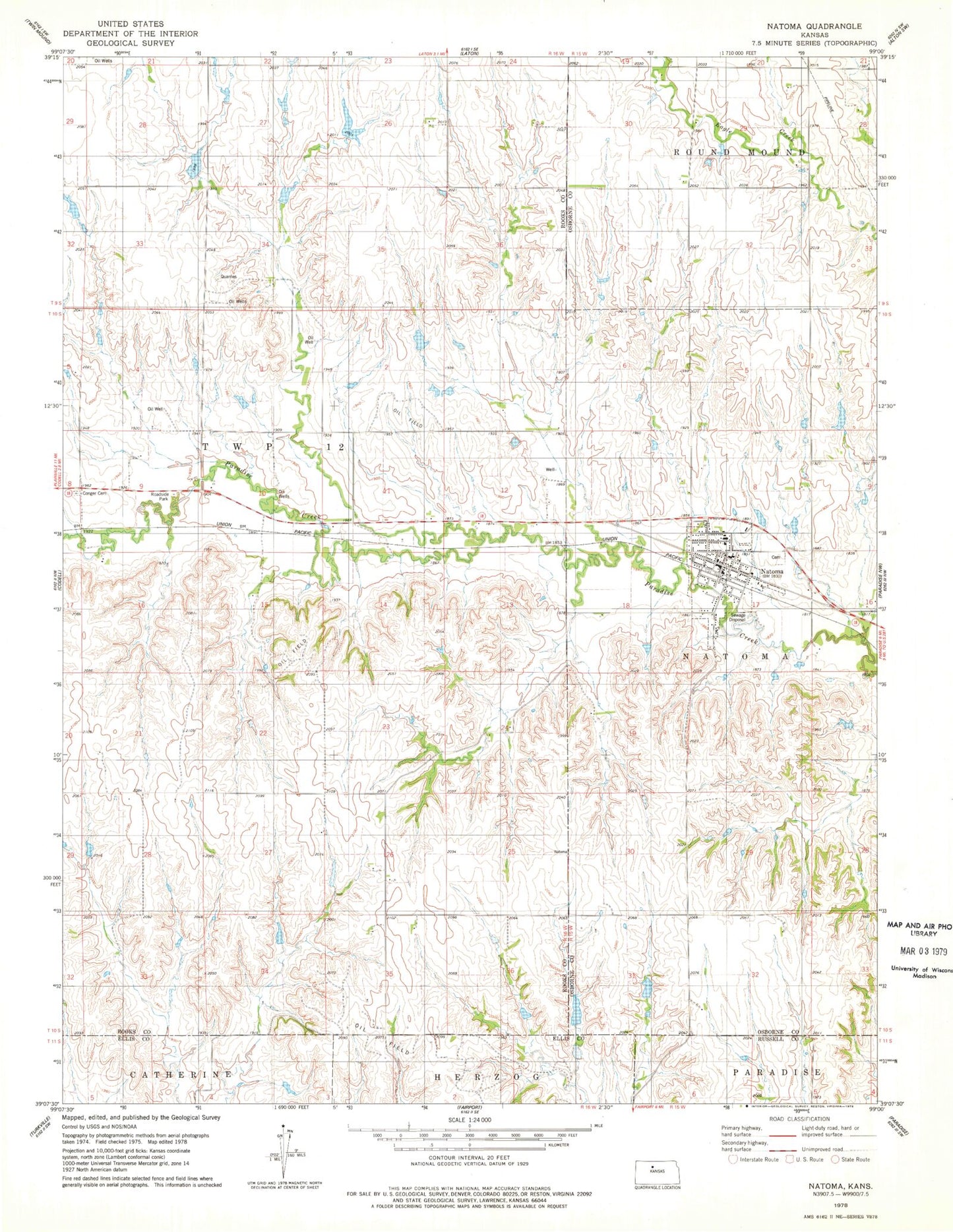
Classic USGS Natoma Kansas 7.5'x7.5' Topo Map
Couldn't load pickup availability
Historical USGS topographic quad map of Natoma in the state of Kansas. Map scale may vary for some years, but is generally around 1:24,000. Print size is approximately 24" x 27"
This quadrangle is in the following counties: Ellis, Osborne, Rooks, Russell.
The map contains contour lines, roads, rivers, towns, and lakes. Printed on high-quality waterproof paper with UV fade-resistant inks, and shipped rolled.
Contains the following named places: City of Natoma, Mount Os, Natoma, Natoma Cemetery, Natoma Elementary School, Natoma High School, Natoma Post Office, Natoma Sewer Treatment Plant, Natoma United Methodist Church, Paradise Valley Church of Faith, Peace Lutheran Church, Rock Creek, Rural Fire District 3 - Natoma, ZIP Code: 67651