MyTopo
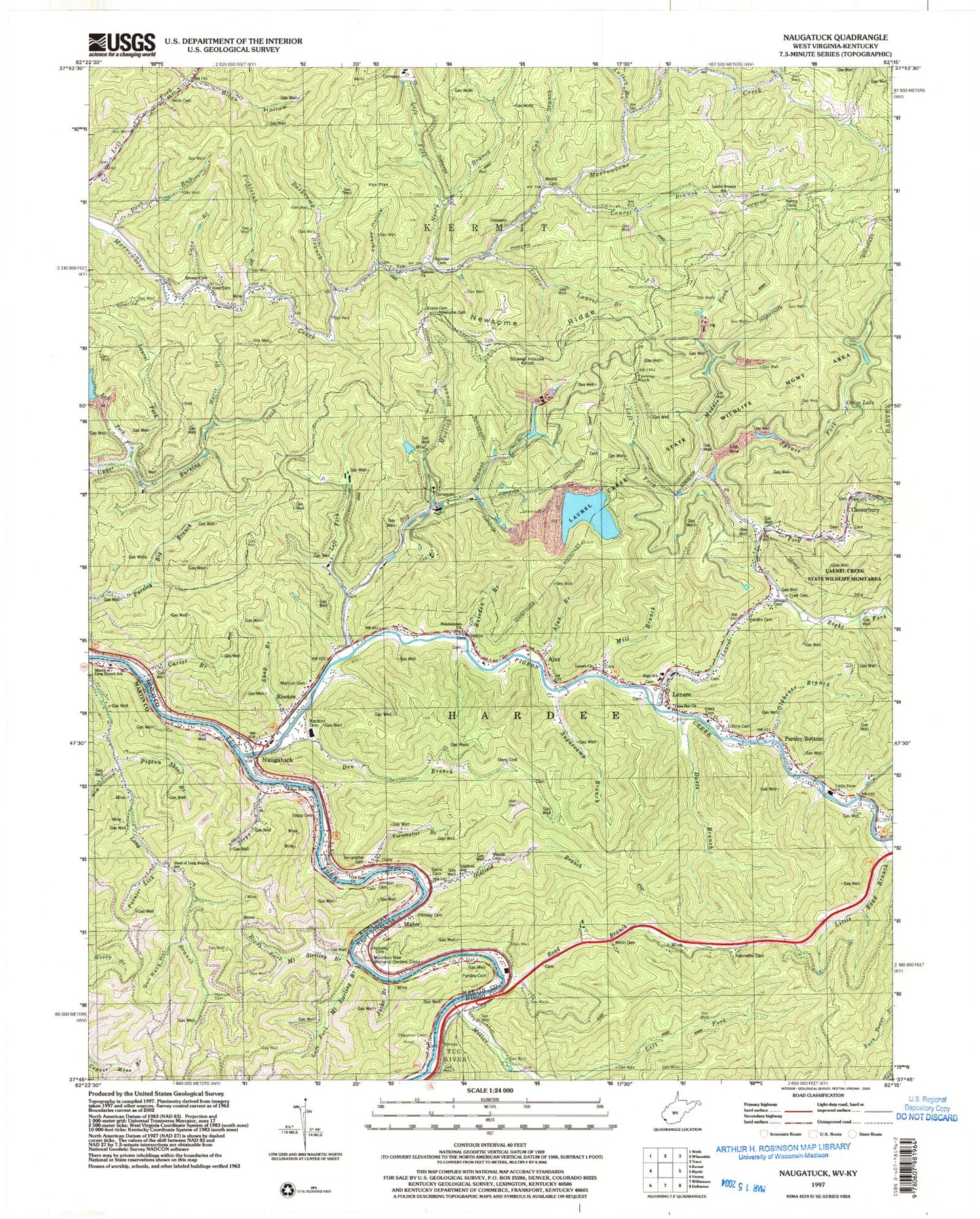
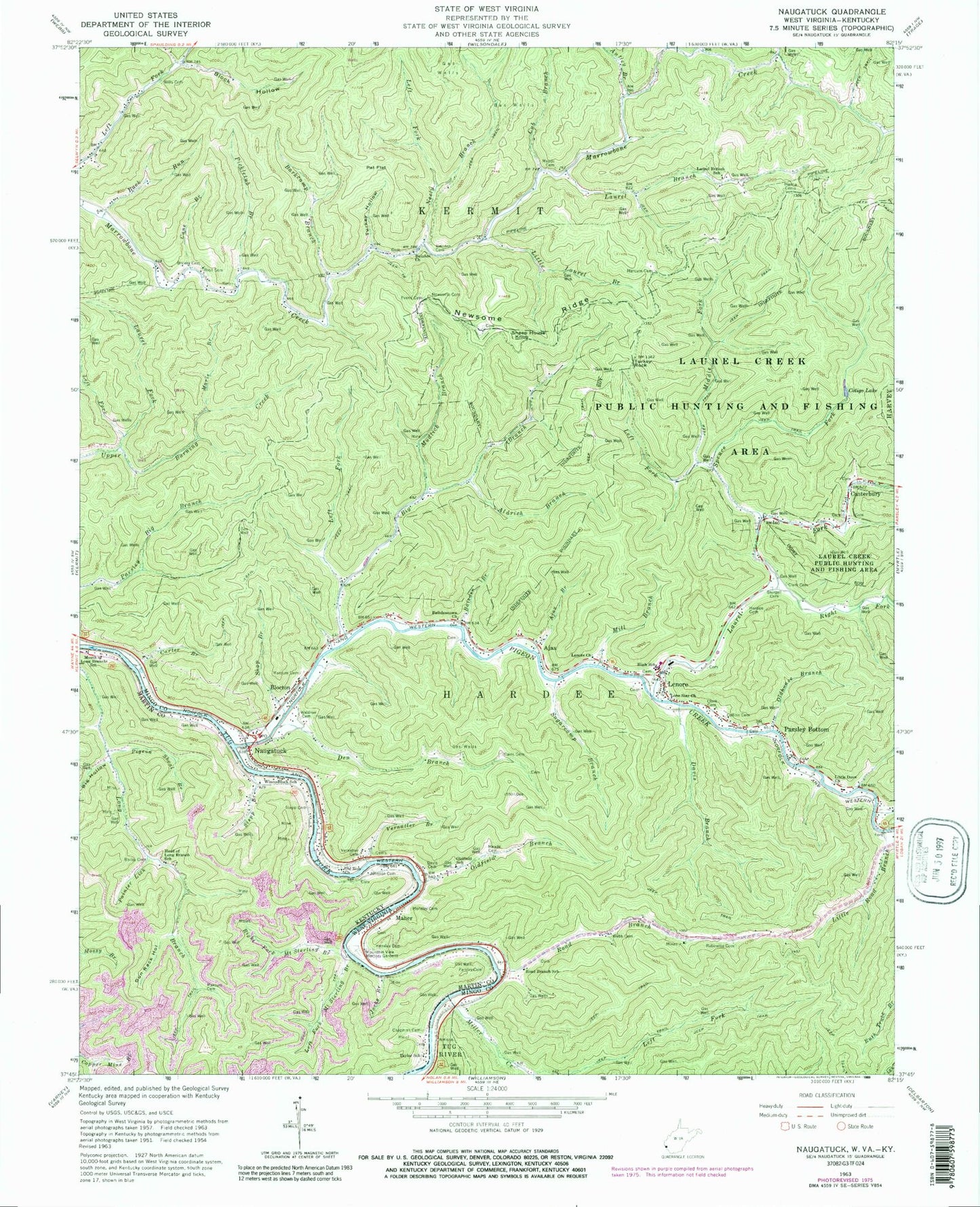
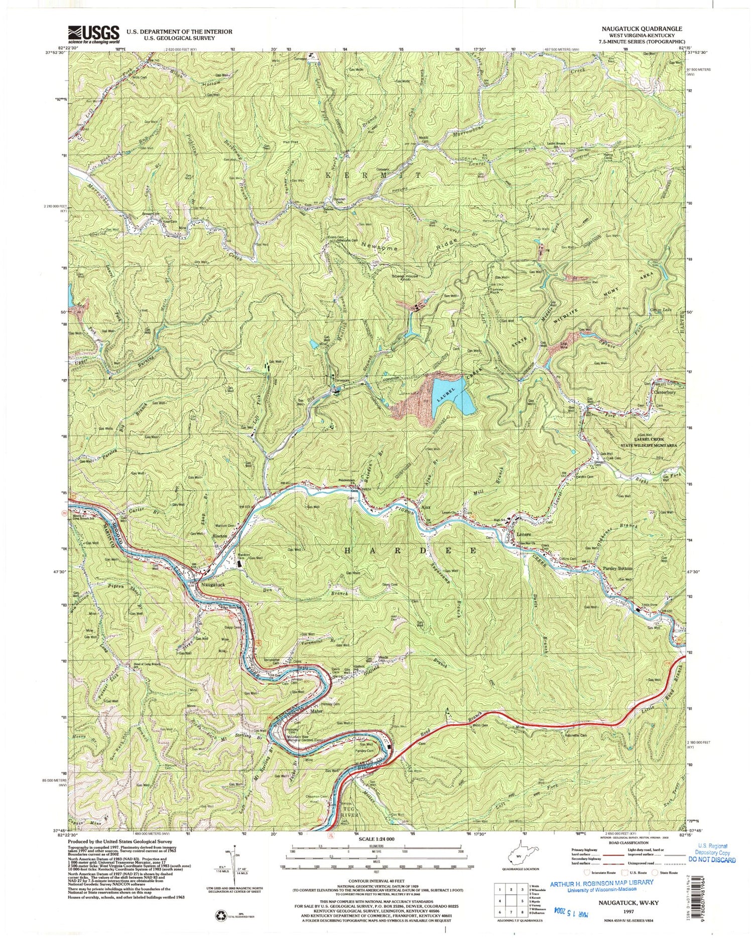
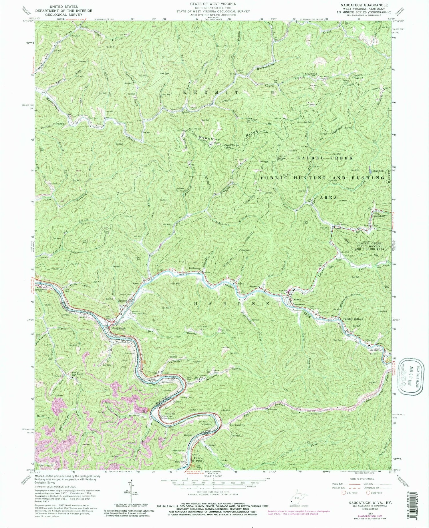
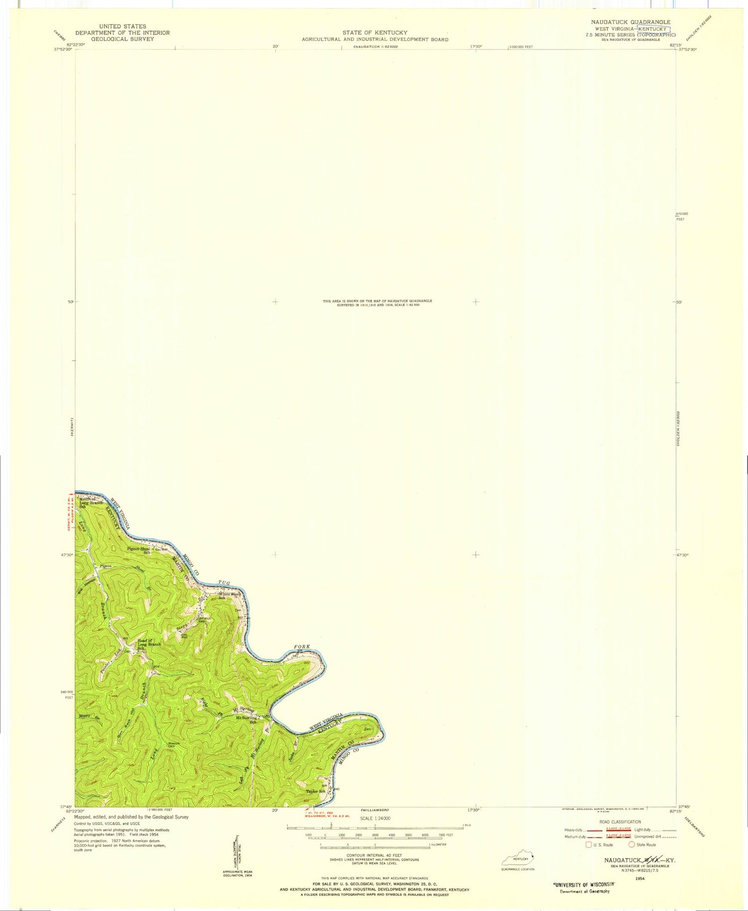
Classic USGS Naugatuck West Virginia 7.5'x7.5' Topo Map
Couldn't load pickup availability
Historical USGS topographic quad map of Naugatuck in the states of West Virginia, Kentucky. Map scale may vary for some years, but is generally around 1:24,000. Print size is approximately 24" x 27"
This quadrangle is in the following counties: Martin, Mingo.
The map contains contour lines, roads, rivers, towns, and lakes. Printed on high-quality waterproof paper with UV fade-resistant inks, and shipped rolled.
Contains the following named places: Ajax, Ajax Branch, Aldrich Branch, Antley Branch, Bailey Cemetery, Baisden Branch, Baisden Cemetery, Baisden Church, Baisdentown Church, Barkcamp Branch, Big Branch, Big Hollow, Block Hollow, Blocton, Brewer Cemetery, Buck Run, Cane Branch, Canterbury, Carter Branch, Chapman Cemetery, Clark Cemetery, Collins Cemetery, Cotigo Lake, Cub Branch, Dan Branch, Davis Branch, Davis Cemetery, Den Branch, Evans Cemetery, Ferrell Cemetery, Gun Rack Hollow, Hanna Cemeteries, Harden Cemetery, Head of Long Branch School, Hensley Big Branch, Hensley Cemetery, Jacks Branch, Kermit District, Laurel Branch, Laurel Branch School, Laurel Creek Bridge, Laurel Fork, Left Fork Big Branch, Left Fork Mount Sterling Branch, Left Fork Neely Branch, Left Fork Spruce Fork, Left Fork Upper Burning Creek, Lenore, Lenore Church, Lenore Elementary School, Lenore Middle School, Lenore PK - 8 School, Lenore Post Office, Lenore Volunteer Fire Department, Little Dove Church, Little Laurel Branch, Little Road Branch, Lone Star Church, Maher, Marcum Cemetery, Marie Branch, Meade Cemetery, Middle Fork Spruce Fork, Mill Branch, Miller Creek, Mingo Christian School, Mountain View Memory Gardens, Mouth of Long Branch School, Mudlick Branch, Naugatuck, Naugatuck Post Office, Neely Branch, Newsome Cemetery, Newsome Ridge, Old Zion Church, Oldfield Branch, Oldfield School, Oldhouse Branch, Painter Lick, Parsley Bottom, Parsley Bottom Freewill Baptist Church, Parsley Cemetery, Pat Flat, Pickletub Branch, Pigeon Branch, Pigeon Creek, Rapp, Right Fork Laurel Fork, Right Fork Mount Sterling Branch, Road Branch, Road Branch School, Robinette Cemetery, Rose Cemetery, Sheep House Knob, Shop Branch, Spruce Fork, Stepp Branch, Stepp Cemetery, Sturgell Cemetery, Sugarcamp Branch, Sweetwater Branch, Taylor School, Trace Fork, Tug Hardee District, Tug Valley High School, Turkey Hollow, Turkey Rock, Upper Canterbury Bridge, Vernatter Branch, Vernatter Cemetery, Waldron Cemetery, Webb Cemetery, White Branch, William Shady Chapman Bridge, Wills Cemetery, Winco Block School, ZIP Code: 25674
