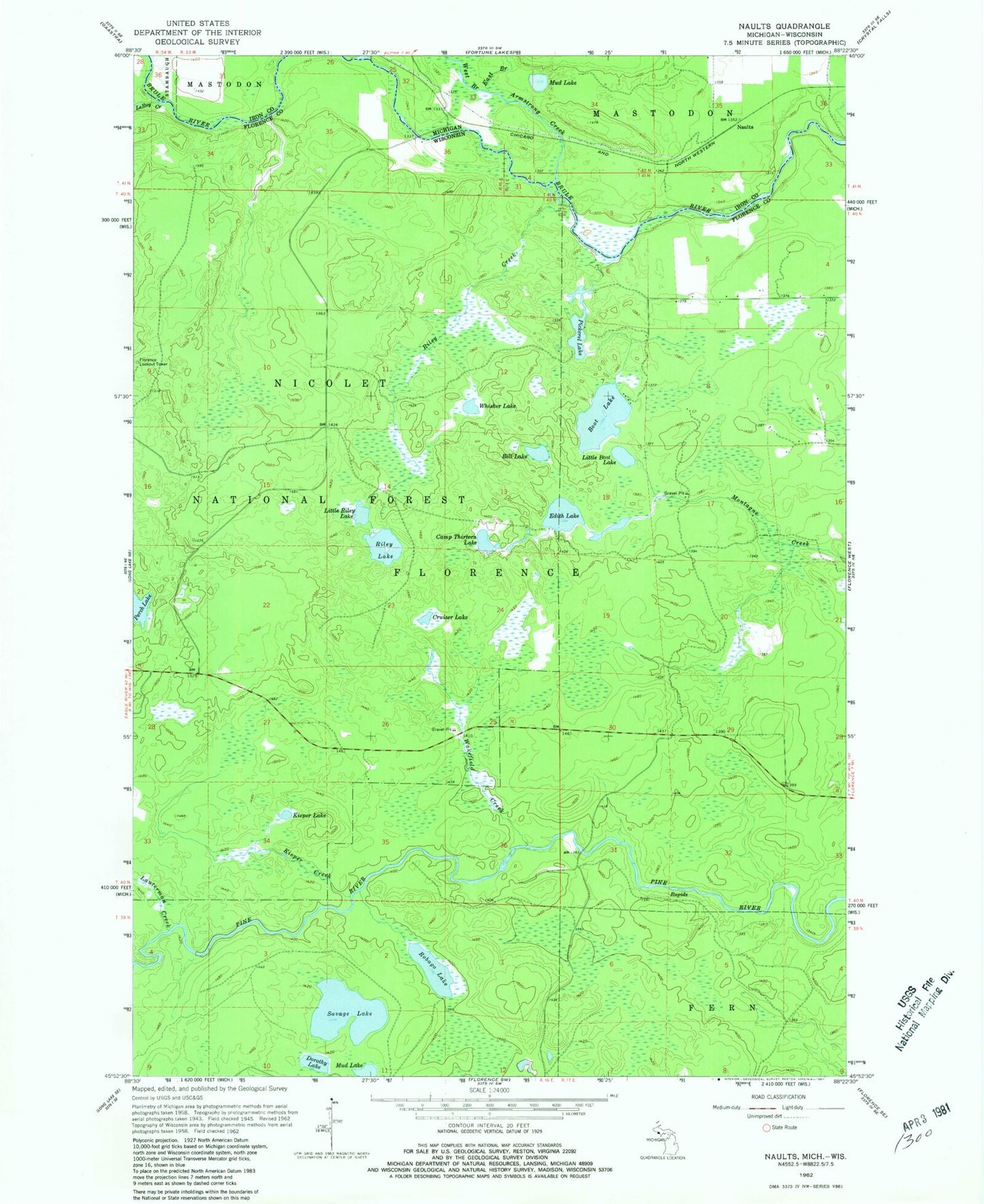
MyTopo
Classic USGS Naults Michigan 7.5'x7.5' Topo Map
Couldn't load pickup availability
Historical USGS topographic quad map of Naults in the states of Michigan, Wisconsin. Typical map scale is 1:24,000, but may vary for certain years, if available. Print size: 24" x 27"
This quadrangle is in the following counties: Florence, Iron.
The map contains contour lines, roads, rivers, towns, and lakes. Printed on high-quality waterproof paper with UV fade-resistant inks, and shipped rolled.
Contains the following named places: Armstrong Creek, East Branch Armstrong Creek, Mud Lake, Naults, West Branch Armstrong Creek, Bell Lake, Boot Lake, Camp Thirteen Lake, Cruiser Lake, Dorothy Lake, Edith Lake, Kieper Creek, Kieper Lake, Lauterman Creek, LeRoy Creek, Little Boot Lake, Little Riley Lake, Mud Lake, Pickerel Lake, Riley Creek, Riley Lake, Robago Lake, Savage Lake, Wakefield Creek, Whisker Lake, Perch Lake Campground, Whisker Lake Wilderness, Florence Lookout Tower, Town of Florence, Harding School (historical), Fox Maple Woods State Natural Area