MyTopo
Classic USGS Naushon Island Massachusetts 7.5'x7.5' Topo Map
Couldn't load pickup availability
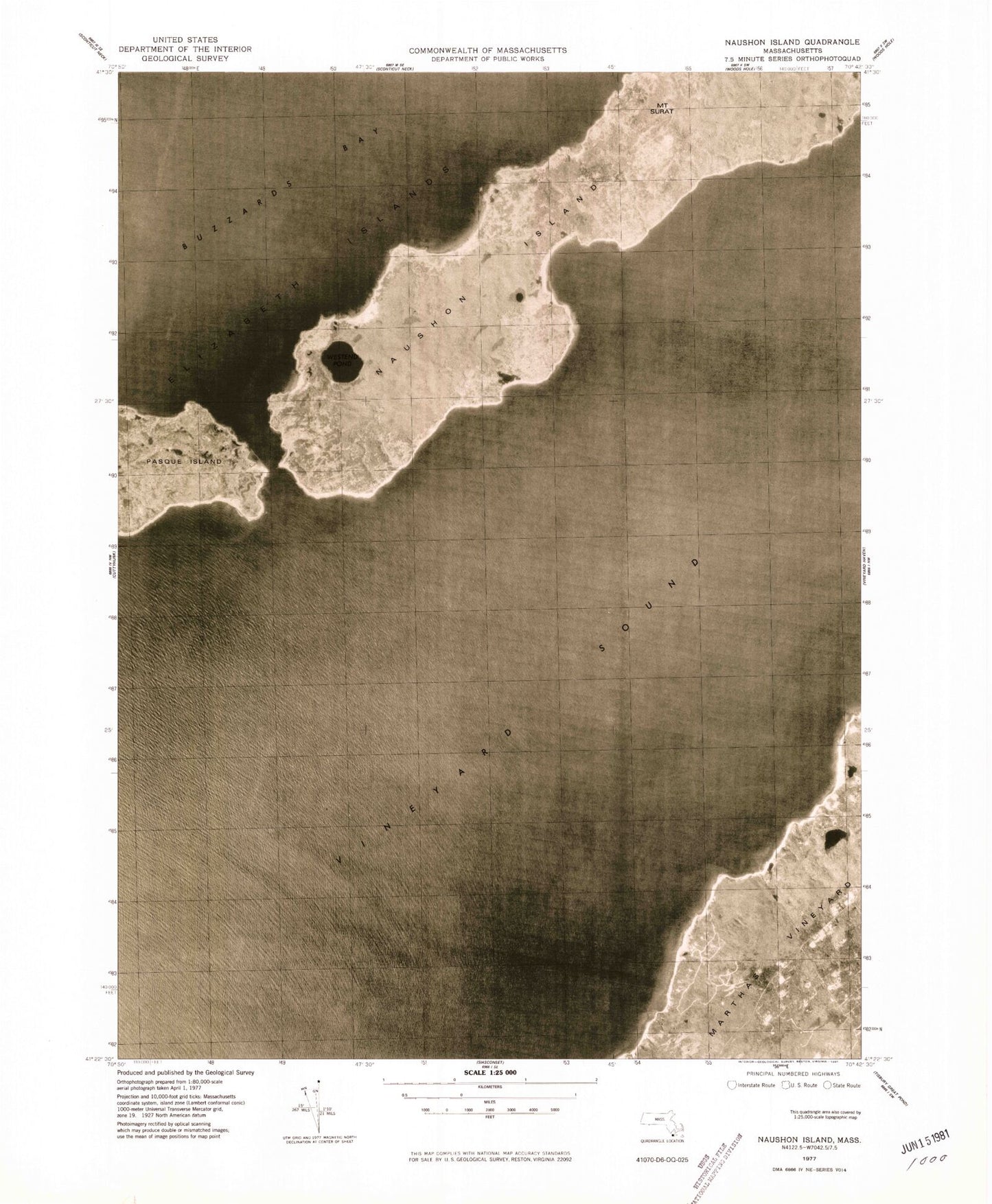
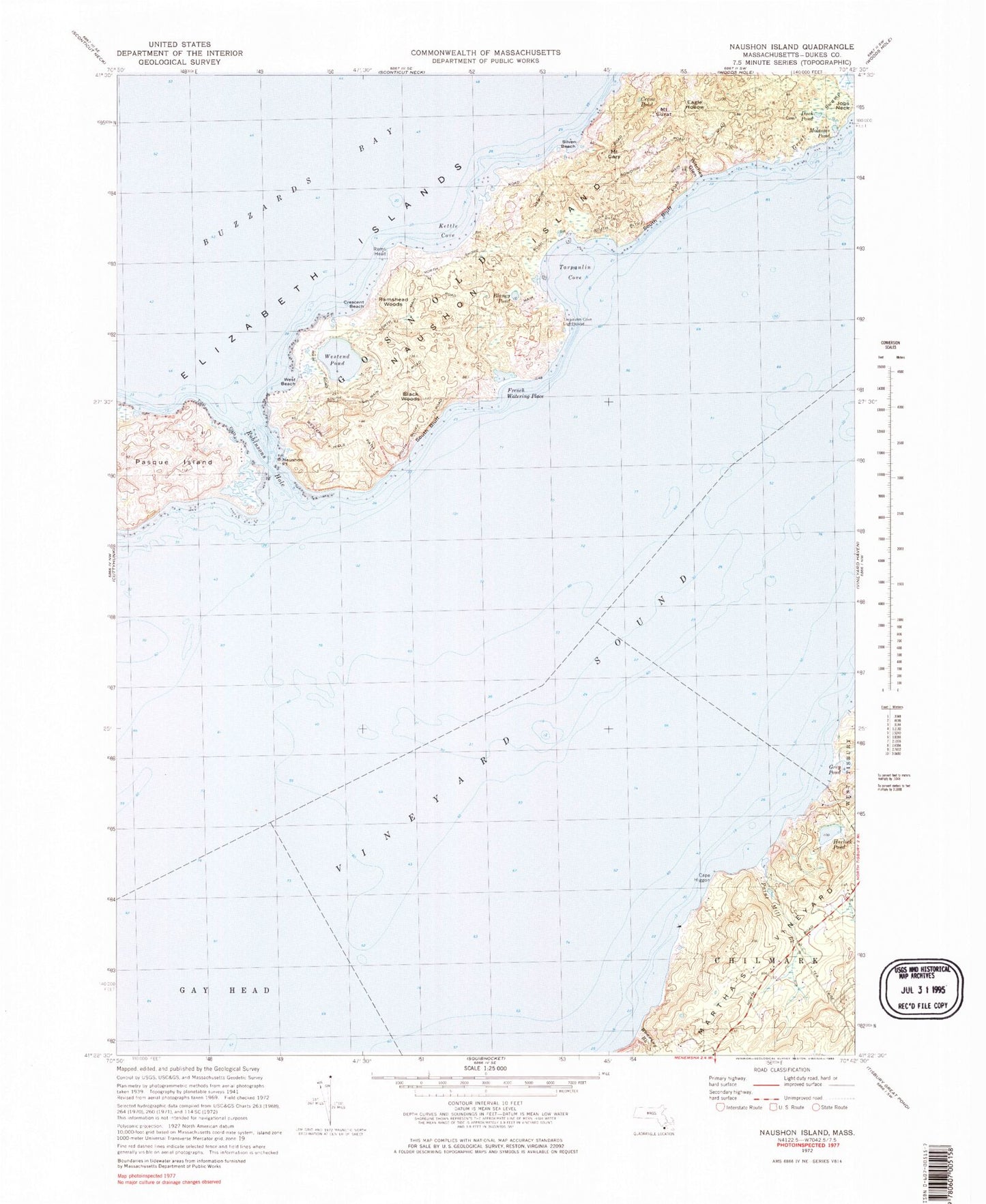
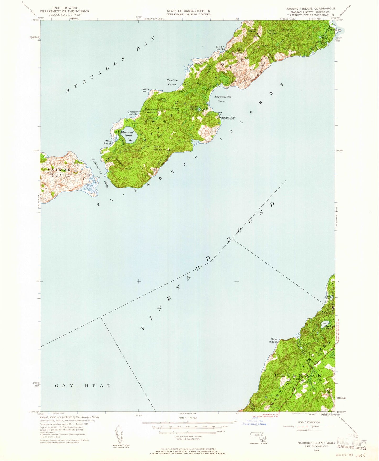
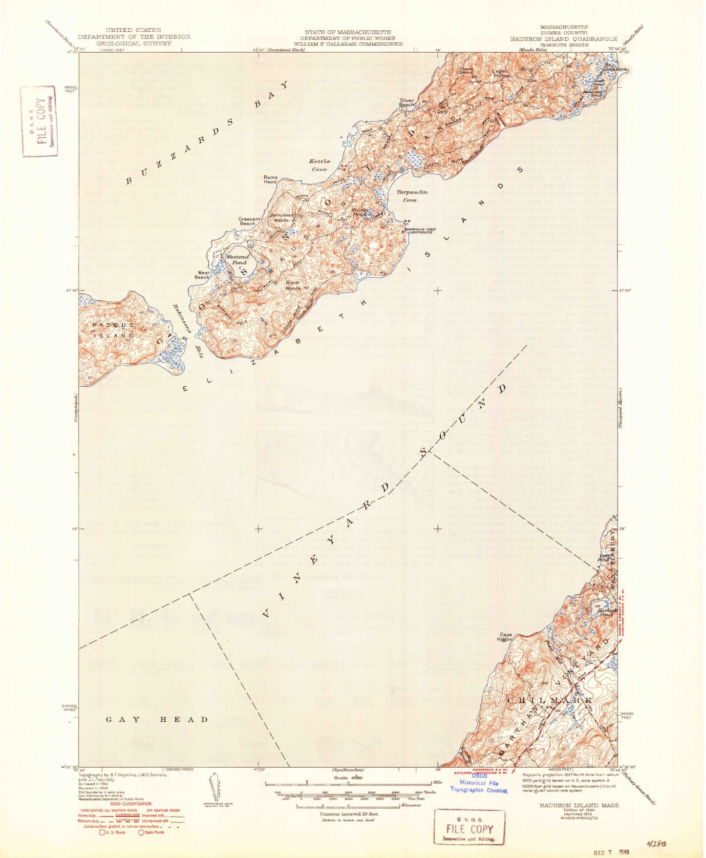
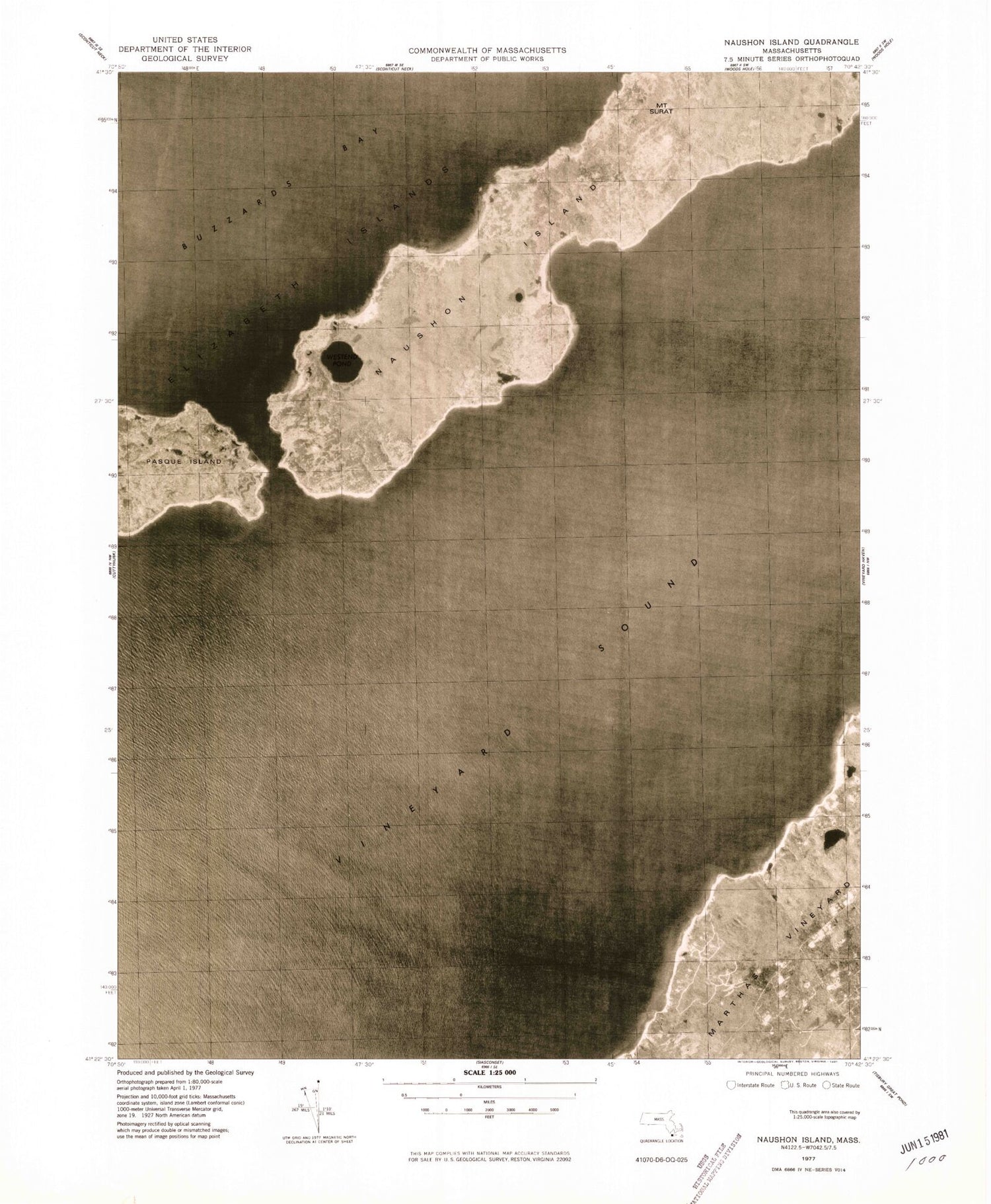
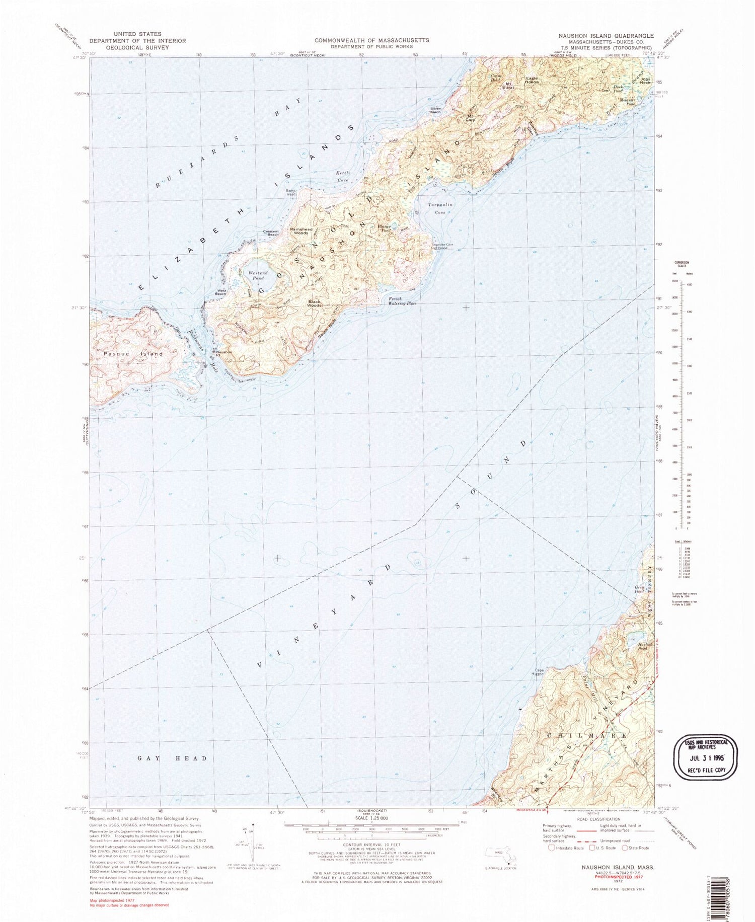
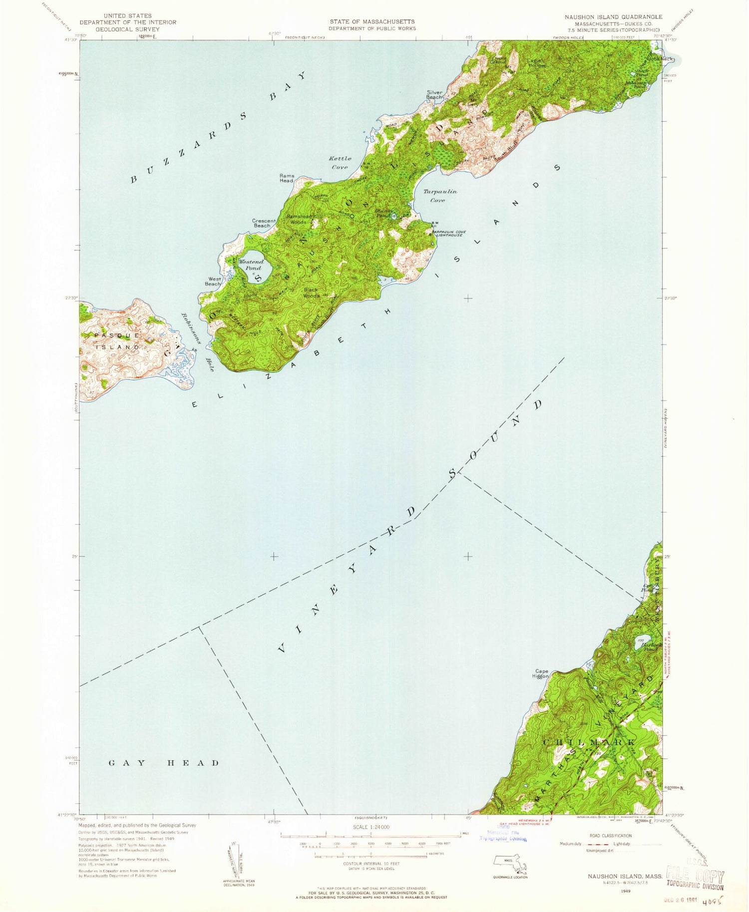
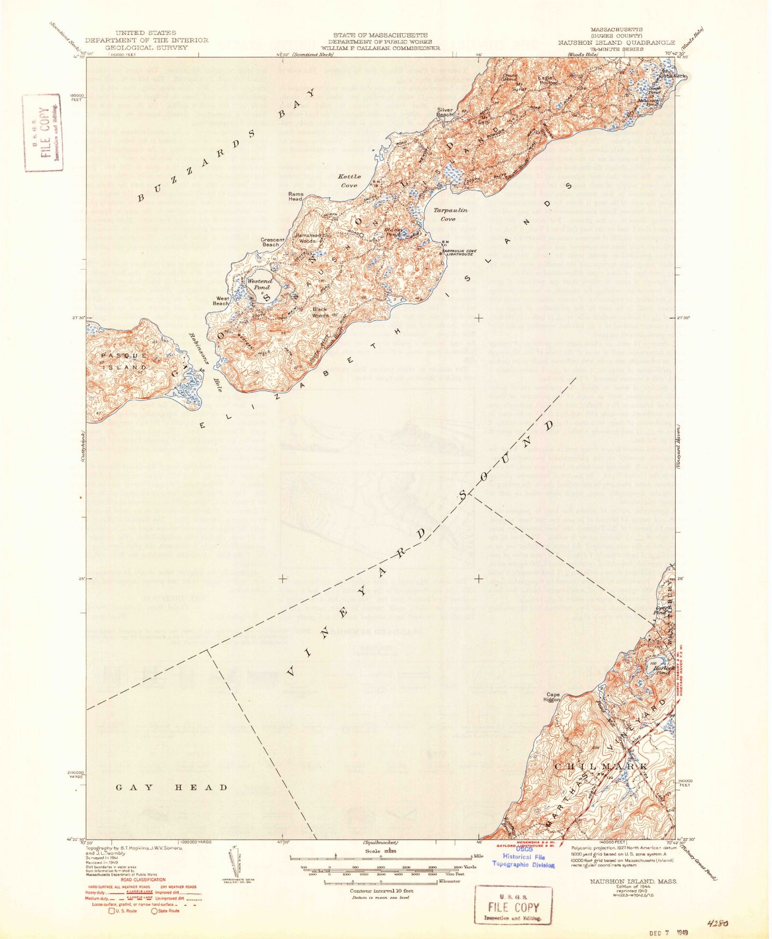
Historical USGS topographic quad map of Naushon Island in the state of Massachusetts. Map scale may vary for some years, but is generally around 1:24,000. Print size is approximately 24" x 27"
This quadrangle is in the following counties: Dukes.
The map contains contour lines, roads, rivers, towns, and lakes. Printed on high-quality waterproof paper with UV fade-resistant inks, and shipped rolled.
Contains the following named places: Black Woods, Blaney Pond, Cape Higgon, Chilmark Fire Department Station 2, Crane Pond, Crescent Beach, Duck Pond, Eagle Hollow, Elizabeth Islands, French Watering Place, Great Swamp, Grey Pond, Harlock Pond, Kettle Cove, Lucas Shoal, Molasses Pond, Mount Cary, Mount Surat, Naushon Island, Naushon Point, Naushon Station, Paint Mill Brook, Pasque Island, Point Mill Brook, Rams Head, Ramshead Woods, Robinsons Hole, Silver Beach, South Bluff, Tarpaulin Cove, Tarpaulin Cove Light, Vineyard Sound, West Beach, Westend Pond, Witches Glen, ZIP Code: 02543
