MyTopo
Classic USGS Navajo Dam New Mexico 7.5'x7.5' Topo Map
Regular price
$16.95
Regular price
Sale price
$16.95
Unit price
per
Couldn't load pickup availability
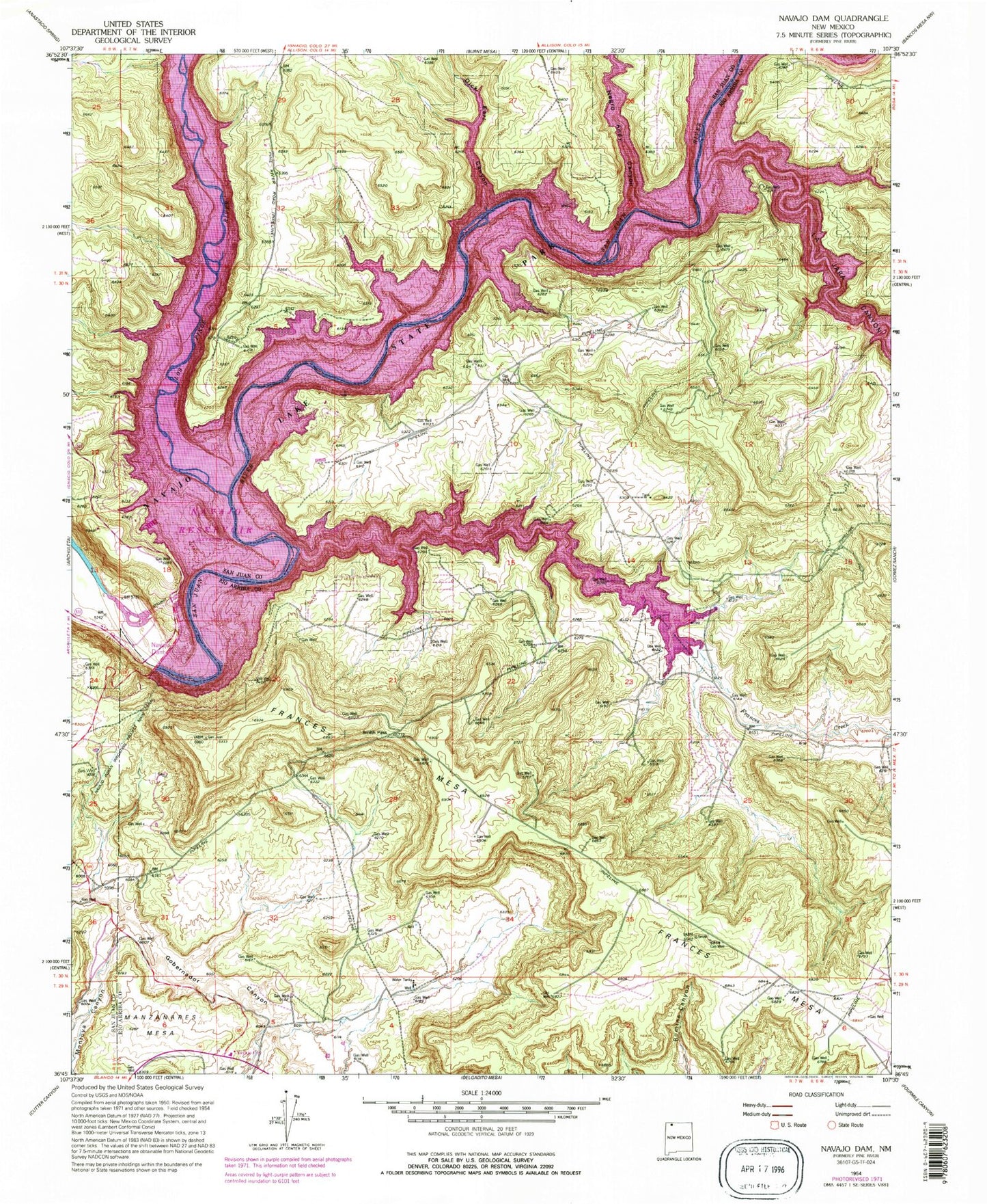
Historical USGS topographic quad map of Navajo Dam in the state of New Mexico. Map scale may vary for some years, but is generally around 1:24,000. Print size is approximately 24" x 27"
This quadrangle is in the following counties: Rio Arriba, San Juan.
The map contains contour lines, roads, rivers, towns, and lakes. Printed on high-quality waterproof paper with UV fade-resistant inks, and shipped rolled.
Contains the following named places: Dick Earl Canyon, El Gobernador Knob, Frances Creek, La Jara Canyon, La Jara Creek, Los Pinos River, Navajo City, Navajo Dam, Negro Andy Canyon, Smith Pass