MyTopo
Classic USGS Navajo Montana 7.5'x7.5' Topo Map
Regular price
$16.95
Regular price
Sale price
$16.95
Unit price
per
Couldn't load pickup availability
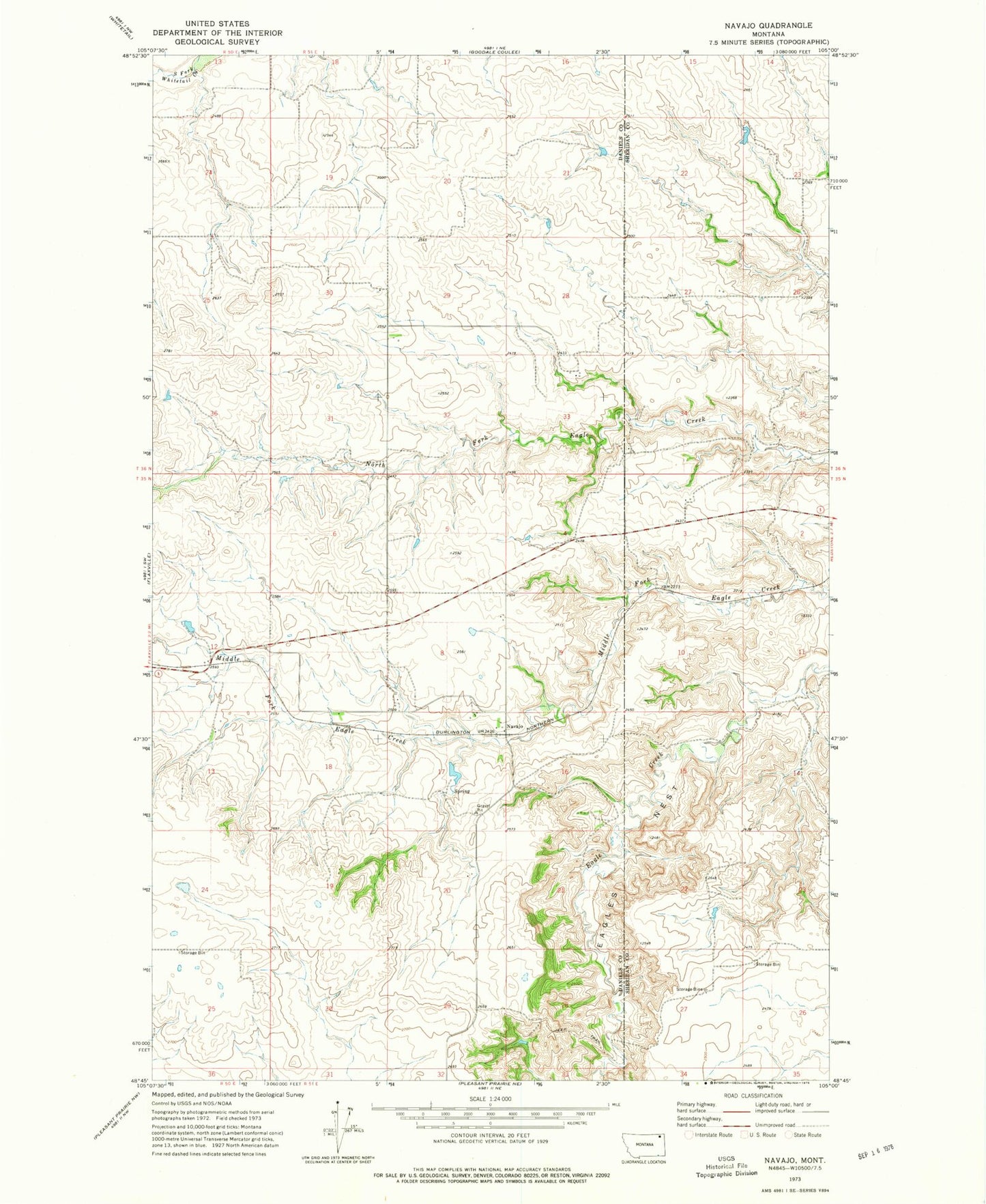
Historical USGS topographic quad map of Navajo in the state of Montana. Map scale may vary for some years, but is generally around 1:24,000. Print size is approximately 24" x 27"
This quadrangle is in the following counties: Daniels, Sheridan.
The map contains contour lines, roads, rivers, towns, and lakes. Printed on high-quality waterproof paper with UV fade-resistant inks, and shipped rolled.
Contains the following named places: 35N51E17ABAA01 Well, 35N51E18ABBD01 Well, 36N50E36BCAC01 Well, 36N51E20DCCB01 Well, 36N51E29CCCA01 Well, Eagles Nest, McCoys Dam, Navaho Post Office, Navajo, Navajo School