MyTopo
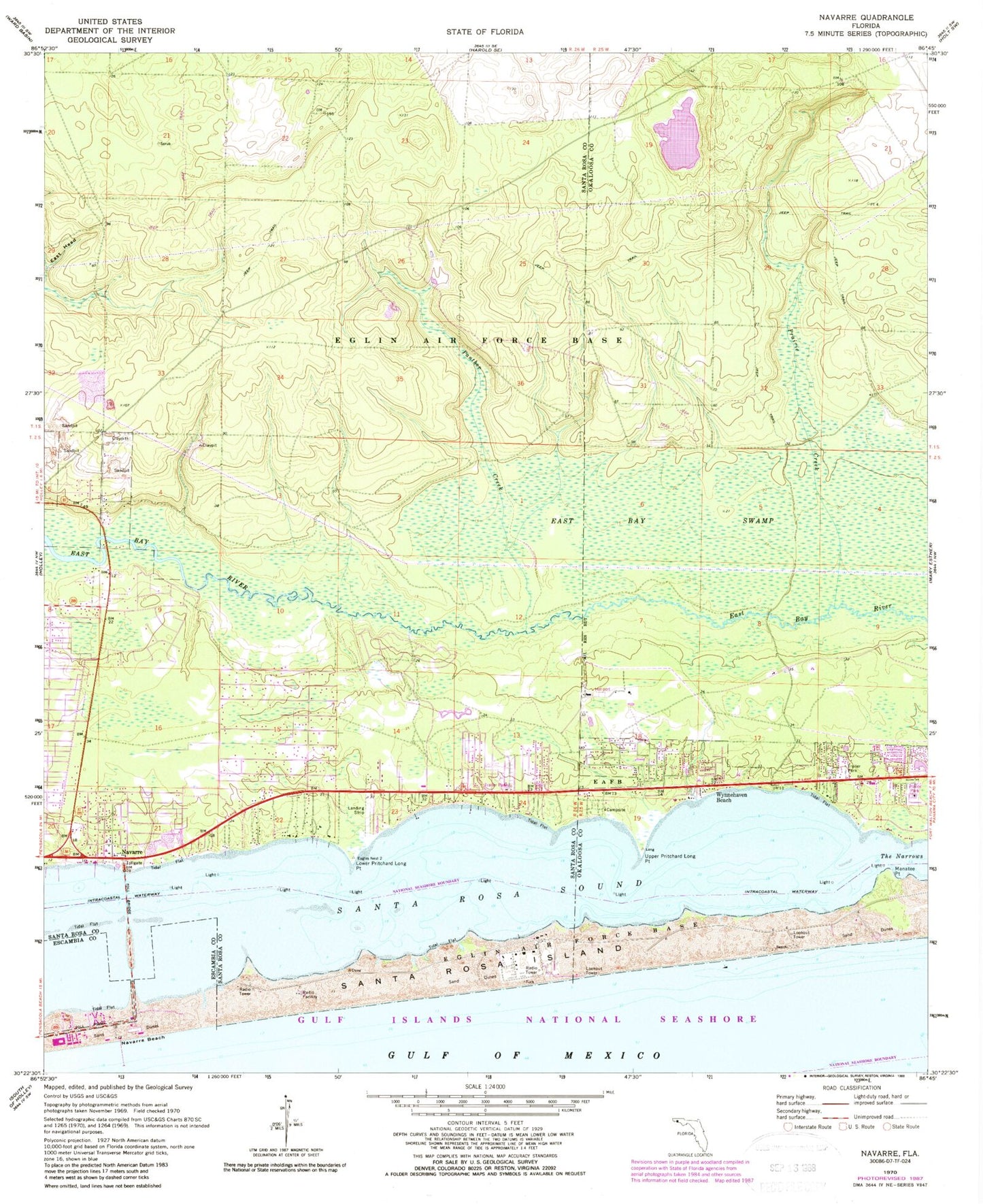
Classic USGS Navarre Florida 7.5'x7.5' Topo Map
Couldn't load pickup availability
Historical USGS topographic quad map of Navarre in the state of Florida. Map scale may vary for some years, but is generally around 1:24,000. Print size is approximately 24" x 27"
This quadrangle is in the following counties: Okaloosa, Santa Rosa.
The map contains contour lines, roads, rivers, towns, and lakes. Printed on high-quality waterproof paper with UV fade-resistant inks, and shipped rolled.
Contains the following named places: Eglin Air Force Base Fire Station Santa Rosa Island, Fort Walton Beach Airport, Holley Navarre Fire District Station 43, Holley Navarre Fire District Station 45, Lower Pritchard Long Point, Manatee Point, Navarre, Navarre Beach, Navarre Beach State Park, Panther Creek, Prairie Creek, Prairie Ponds, Pullum Pad Heliport, Santa Rosa County Sheriff's Office - District 2 Navarre, Santa Rosa Island, Upper Pritchard Long Point, Wynnehaven Beach