MyTopo
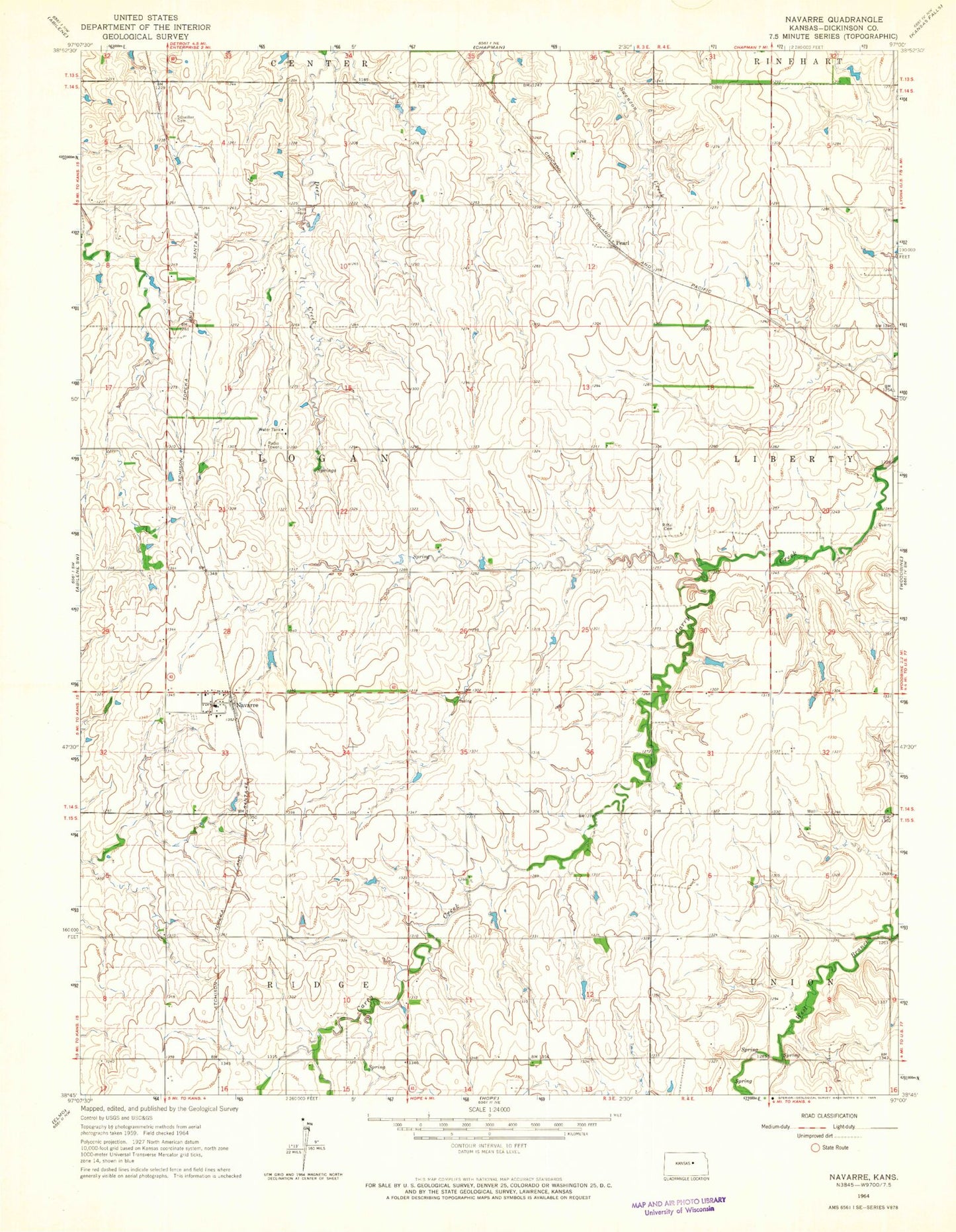
Classic USGS Navarre Kansas 7.5'x7.5' Topo Map
Couldn't load pickup availability
Historical USGS topographic quad map of Navarre in the state of Kansas. Map scale may vary for some years, but is generally around 1:24,000. Print size is approximately 24" x 27"
This quadrangle is in the following counties: Dickinson.
The map contains contour lines, roads, rivers, towns, and lakes. Printed on high-quality waterproof paper with UV fade-resistant inks, and shipped rolled.
Contains the following named places: Alida Pearl Co - Operative Association Grain Elevator Number 2, Hope Rural Fire Department Station 2, Navarre, Navarre Cemetery, Navarre Census Designated Place, North Central Kansas Co - Operative Association Grain Elevator Number 3, Pearl, Plimpton, Riffel Cemetery, Scheiller Cemetery, Township of Logan