MyTopo
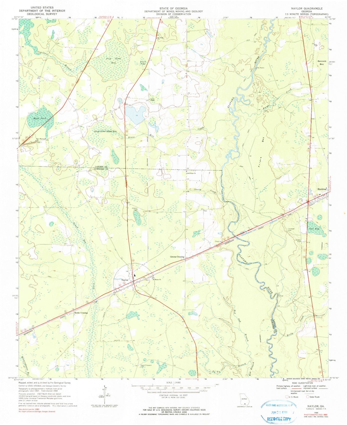
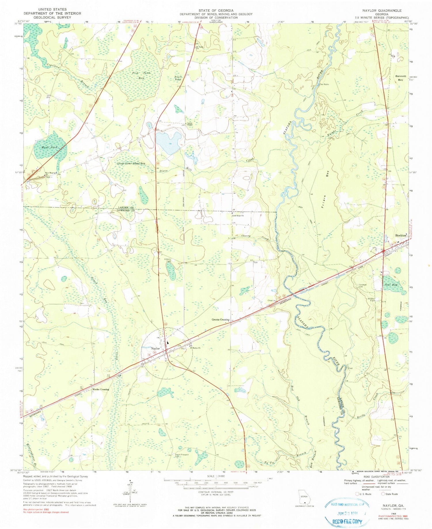
Classic USGS Naylor Georgia 7.5'x7.5' Topo Map
Couldn't load pickup availability
Historical USGS topographic quad map of Naylor in the state of Georgia. Map scale may vary for some years, but is generally around 1:24,000. Print size is approximately 24" x 27"
This quadrangle is in the following counties: Lanier, Lowndes.
The map contains contour lines, roads, rivers, towns, and lakes. Printed on high-quality waterproof paper with UV fade-resistant inks, and shipped rolled.
Contains the following named places: Bennett Bay, Carter Chapel, Carter Lake, Carter Lake Dam, Carter School, Cherry Creek, Christians Folly Airport, Copeland Branch, Dixon Mill Bridge, Dixon Mill Creek, Fish Pond Bay, Foreman Cemetery, Friars Bay, George Carter Island Bay, Good Hope Church, Good Hope School, Greens Crossing, Hopewell School, Hotchkiss Bridge, James Cemetery, Knight Creek, Lanier County Fire Department Station 2 Stockton, Monk Pond, Monks Crossing, Naylor, Naylor Census Designated Place, Naylor Post Office, Naylor School, Naylor Volunteer Fire Department, New Hopewell Church, Owl Bay, Red Oak Branch, Reedy Creek, Saint Louis Church, Saint Marys Church, Stockton Baptist Church, Stockton Census Designated Place, Stockton Post Office, Sweet Prospect Cemetery, The Rocks, Trail Pond, Ty Ty Branch, ZIP Code: 31641


