MyTopo
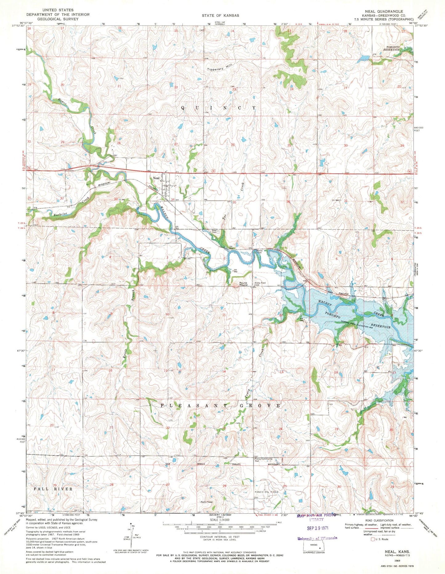
Classic USGS Neal Kansas 7.5'x7.5' Topo Map
Couldn't load pickup availability
Historical USGS topographic quad map of Neal in the state of Kansas. Map scale may vary for some years, but is generally around 1:24,000. Print size is approximately 24" x 27"
This quadrangle is in the following counties: Greenwood.
The map contains contour lines, roads, rivers, towns, and lakes. Printed on high-quality waterproof paper with UV fade-resistant inks, and shipped rolled.
Contains the following named places: Bachelor Creek, Fancy Community Hall, Fancy Creek, Fancy Oil Field, Kuntz Branch, Neal, Neal Cemetery, Neal Census Designated Place, Neal Evangelical Free Church, Neal Post Office, Neal Volunteer Fire Department, Rocky Ford, Rocky Ford Cemetery, Rocky Mound, Tar Creek, Tipperary Hill, Township of Pleasant Grove, Township of Quincy, ZIP Code: 66863