MyTopo
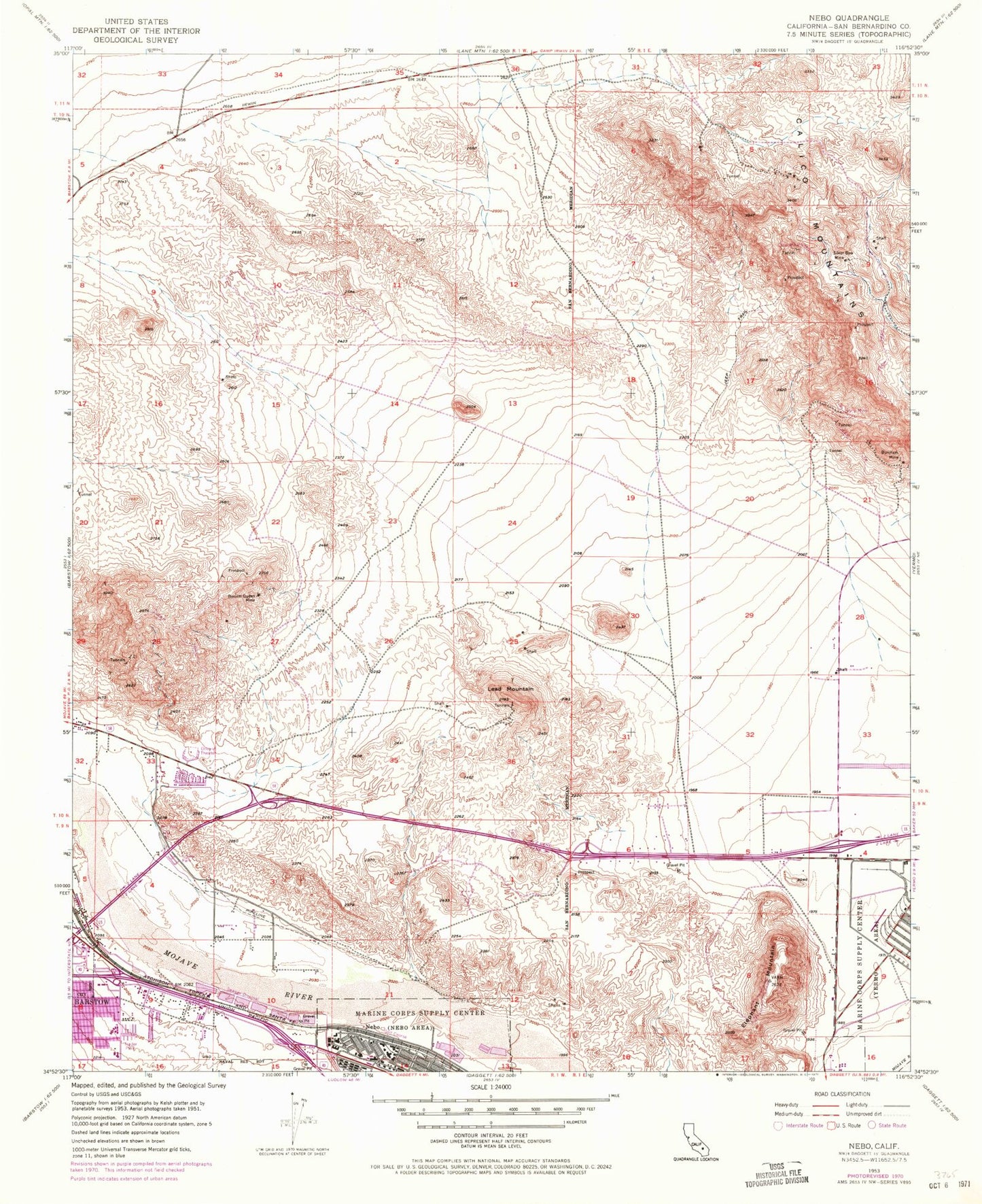
Classic USGS Nebo California 7.5'x7.5' Topo Map
Couldn't load pickup availability
Historical USGS topographic quad map of Nebo in the state of California. Typical map scale is 1:24,000, but may vary for certain years, if available. Print size: 24" x 27"
This quadrangle is in the following counties: San Bernardino.
The map contains contour lines, roads, rivers, towns, and lakes. Printed on high-quality waterproof paper with UV fade-resistant inks, and shipped rolled.
Contains the following named places: Barium Queen Mine, Burcham Mine, Elephant Mountain, Lead Mountain, Mitchel Range, Silver Bow Mine, Nebo, Barstow Mall Shopping Center, Hi-Desert Christian Center, Logistics Base Golf Course, Montara Elementary School, Obregon Park, Silver Valley High School, Sorensen Field, Sturnacle Park, Marine Corps Logistics Base Fire Station Yermo, Brubaker Beige Rock Quarry


