MyTopo
Classic USGS Necaise Mississippi 7.5'x7.5' Topo Map
Couldn't load pickup availability
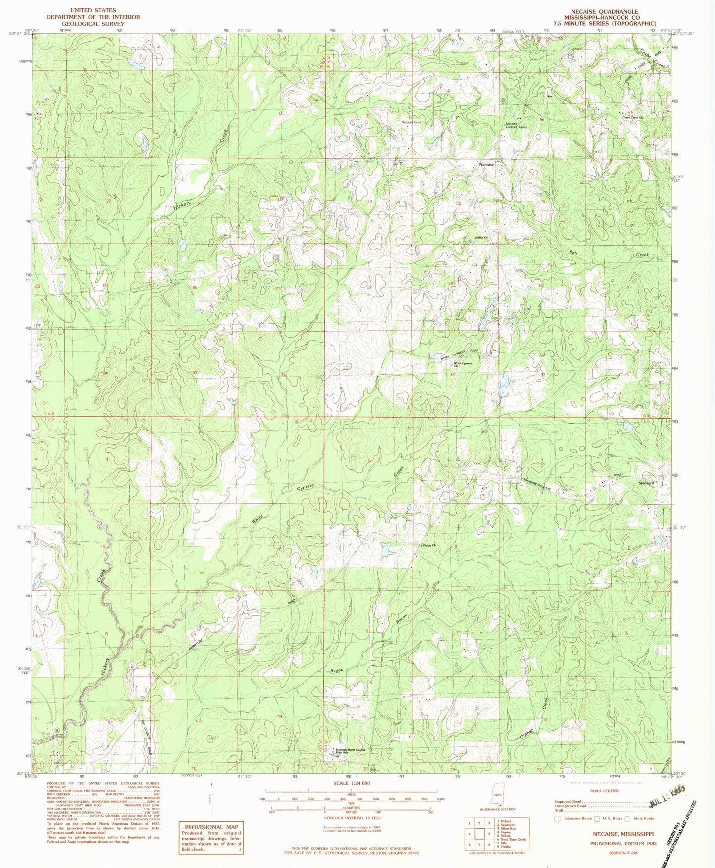
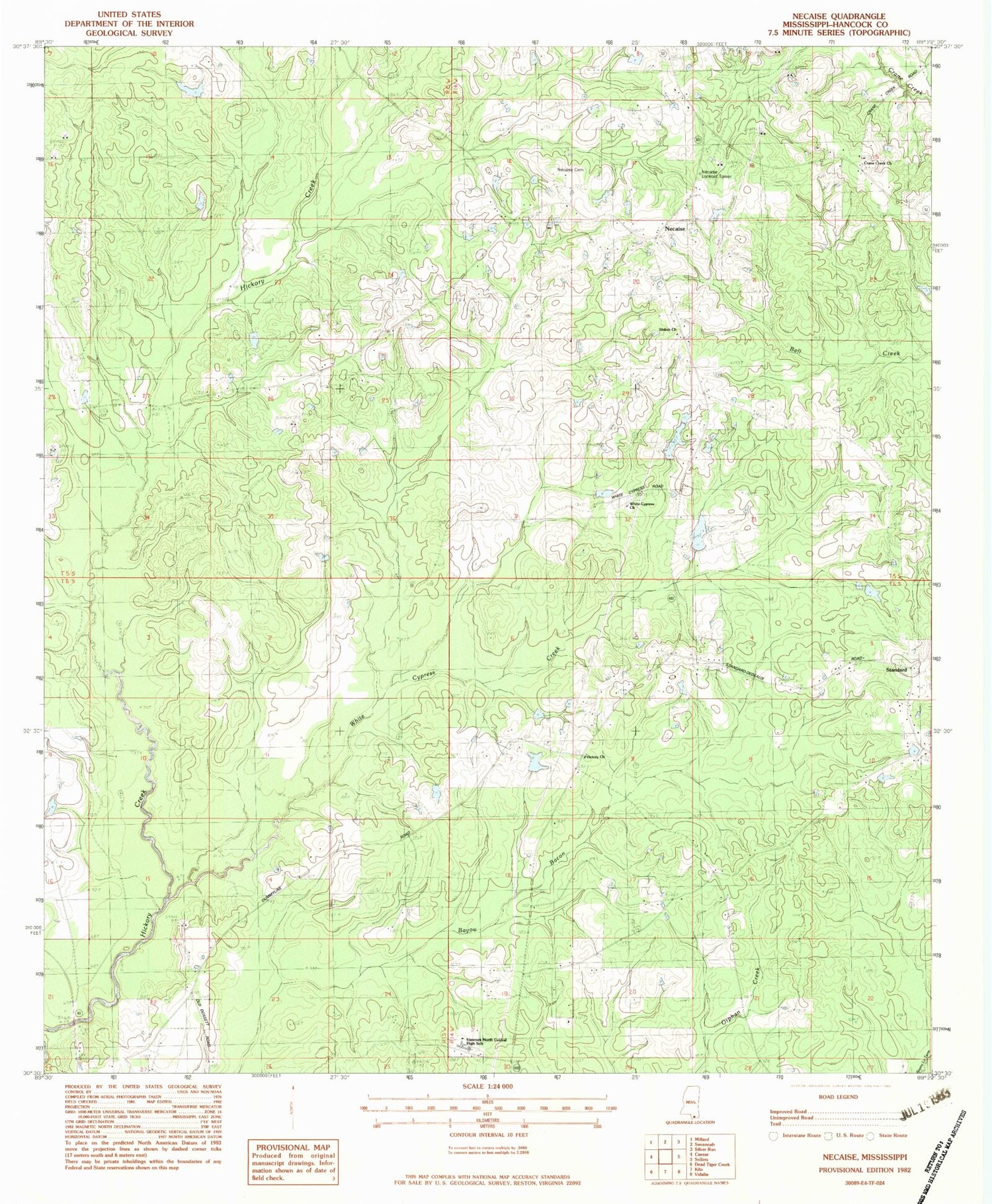
Historical USGS topographic quad map of Necaise in the state of Mississippi. Map scale may vary for some years, but is generally around 1:24,000. Print size is approximately 24" x 27"
This quadrangle is in the following counties: Hancock.
The map contains contour lines, roads, rivers, towns, and lakes. Printed on high-quality waterproof paper with UV fade-resistant inks, and shipped rolled.
Contains the following named places: B M Brignse Lake Dam, Bennett, Bobby Sides Lake Dam, Crane Creek, Crane Creek Church, Cuevas Lake Dam, Hancock North Central High School, Mint Julep Airpark, Necaise, Necaise Crossing Cemetery, Necaise Lake Dam, Necaise Lootout Tower, Post 58 Volunteer Fire Department Station 1, Saint Matthew the Apostle Church, Sellers Lookout Tower, Shiloh Church, Smith Lake Dam, Standard, Victory Church, White Cypress Church, White Cypress Creek