MyTopo
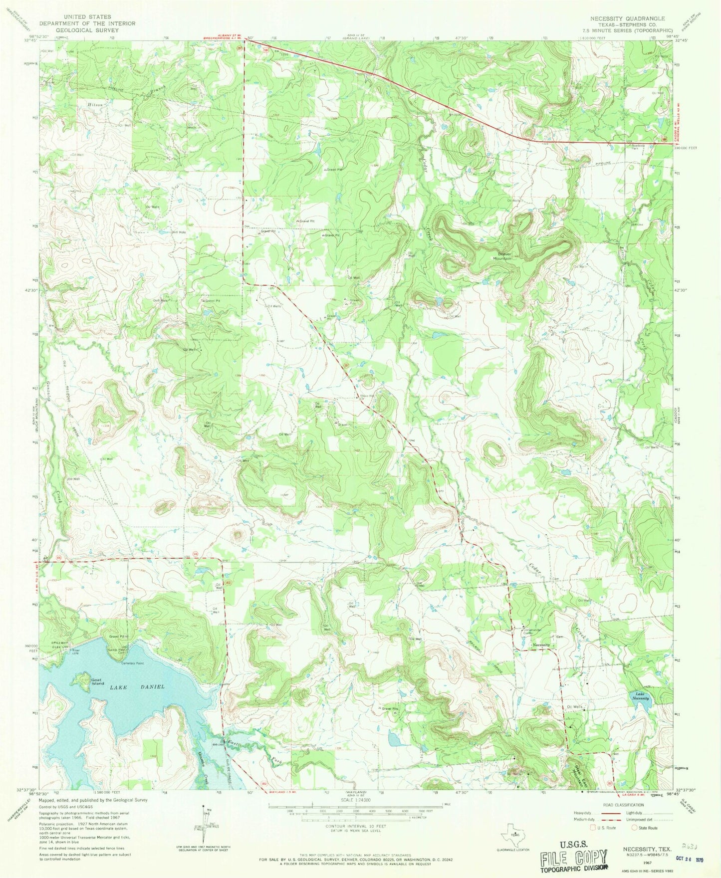
Classic USGS Necessity Texas 7.5'x7.5' Topo Map
Couldn't load pickup availability
Historical USGS topographic quad map of Necessity in the state of Texas. Map scale may vary for some years, but is generally around 1:24,000. Print size is approximately 24" x 27"
This quadrangle is in the following counties: Stephens.
The map contains contour lines, roads, rivers, towns, and lakes. Printed on high-quality waterproof paper with UV fade-resistant inks, and shipped rolled.
Contains the following named places: Beaver Mountain, Breckenridge South Division, Caselman Ranch Airport, Cemetery Point, East Fork Gunsolus Creek, Goat Island, Gonzales Creek Dam, J M Frambo Lake, J M Frambo Lake Dam, Lake Daniel, Lake Necessity, Lake Necessity Dam, Necessity, Saints Rest Cemetery, Stephens County, Union Hill Church