MyTopo
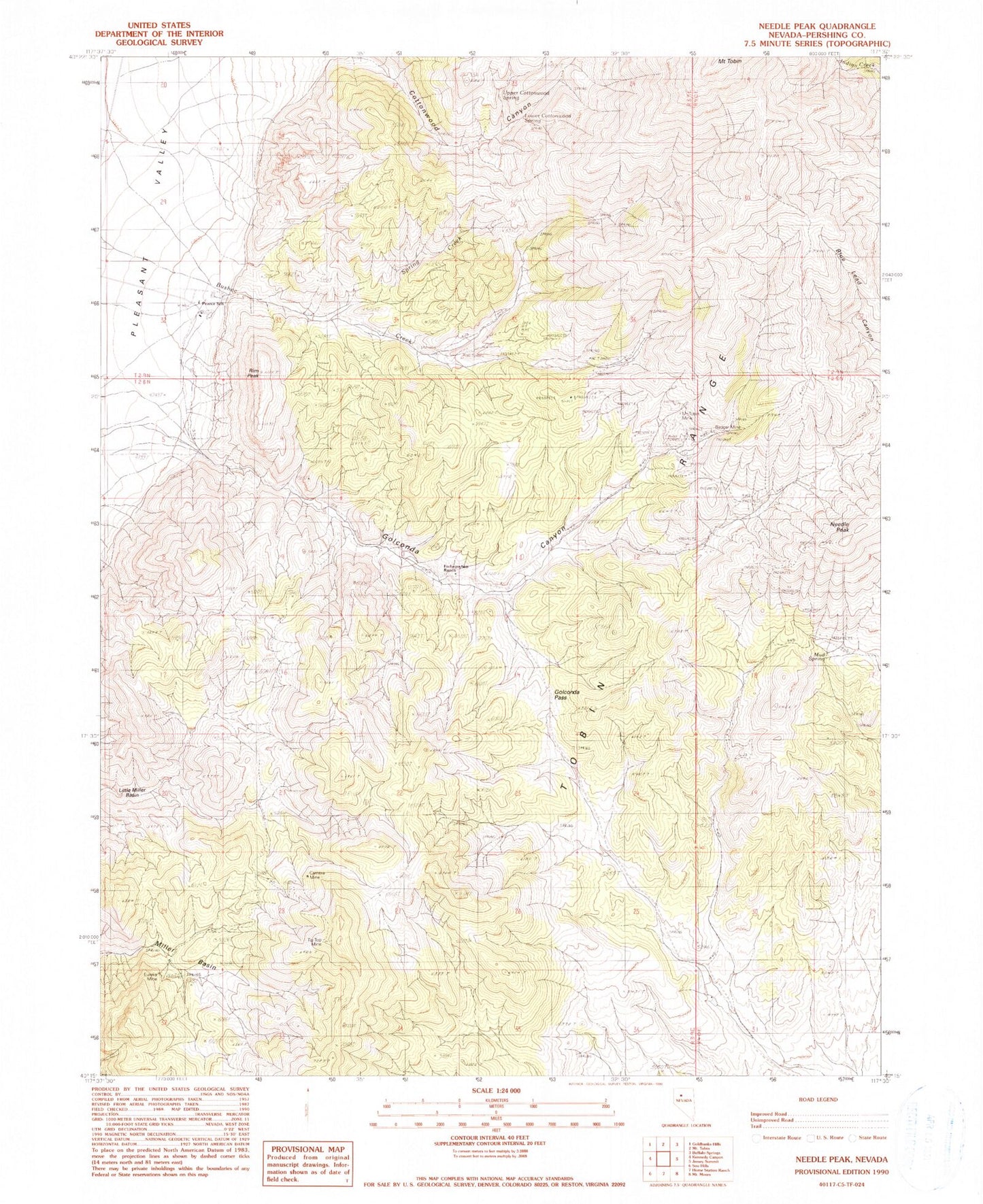
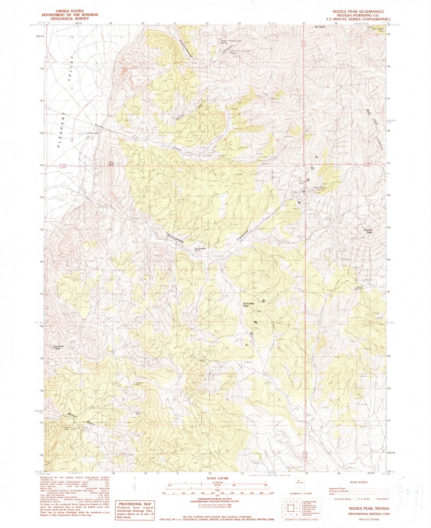
Classic USGS Needle Peak Nevada 7.5'x7.5' Topo Map
Couldn't load pickup availability
Historical USGS topographic quad map of Needle Peak in the state of Nevada. Typical map scale is 1:24,000, but may vary for certain years, if available. Print size: 24" x 27"
This quadrangle is in the following counties: Pershing.
The map contains contour lines, roads, rivers, towns, and lakes. Printed on high-quality waterproof paper with UV fade-resistant inks, and shipped rolled.
Contains the following named places: Badger Mine, Camera Mine, Golconda Pass, Little Miller Basin, Lower Cottonwood Spring, Miller Basin, Mount Tobin Mine, Mud Spring, Rim Peak, Tip Top Mine, Upper Cottonwood Spring, Needle Peak, North Fork Bushee Creek, South Fork Golconda Canyon, Golconda Canyon, Mount Tobin Mining District, Last Chance Mine, North Fork Mine, Needle Peak Mine, Eureka Mine, Meyer Ranch, Pearce School (historical), Allard Ranch, Etchegoyen Ranch


