MyTopo
Classic USGS Needle Reservoir Wyoming 7.5'x7.5' Topo Map
Regular price
$16.95
Regular price
Sale price
$16.95
Unit price
per
Couldn't load pickup availability
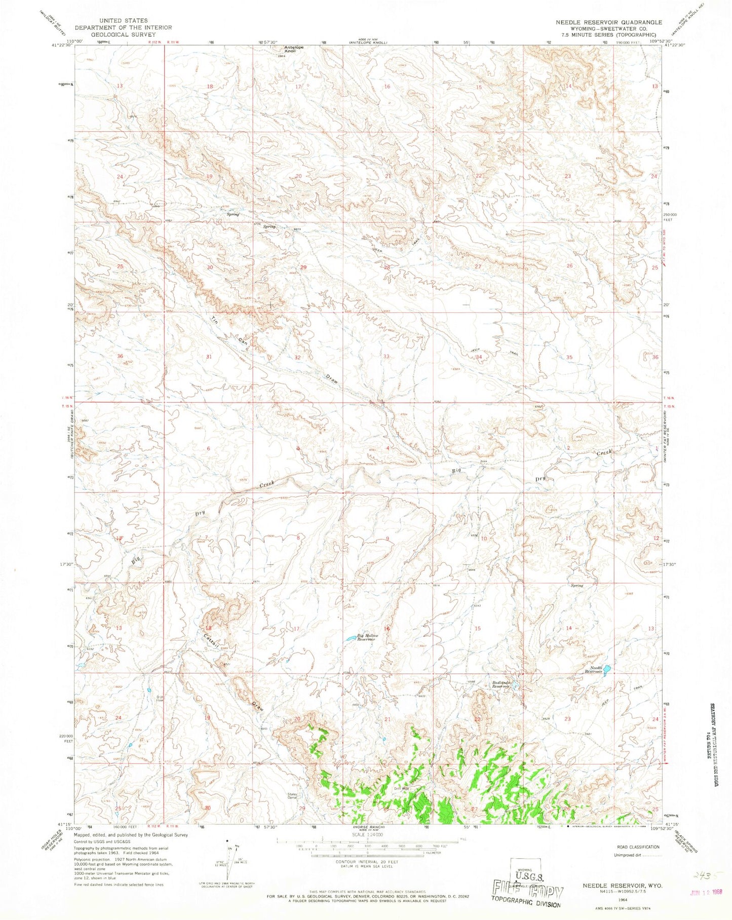
Historical USGS topographic quad map of Needle Reservoir in the state of Wyoming. Map scale may vary for some years, but is generally around 1:24,000. Print size is approximately 24" x 27"
This quadrangle is in the following counties: Sweetwater.
The map contains contour lines, roads, rivers, towns, and lakes. Printed on high-quality waterproof paper with UV fade-resistant inks, and shipped rolled.
Contains the following named places: Antelope Knoll, Badlands Reservoir, Big Hollow Reservoir, Cattail Draw, Needle Reservoir, Phillips Petroleum-Cedar Mountain Number One Mine, Staley Corral, Tin Can Draw