MyTopo
Classic USGS Needle Rock Wyoming 7.5'x7.5' Topo Map
Regular price
$16.95
Regular price
Sale price
$16.95
Unit price
per
Couldn't load pickup availability
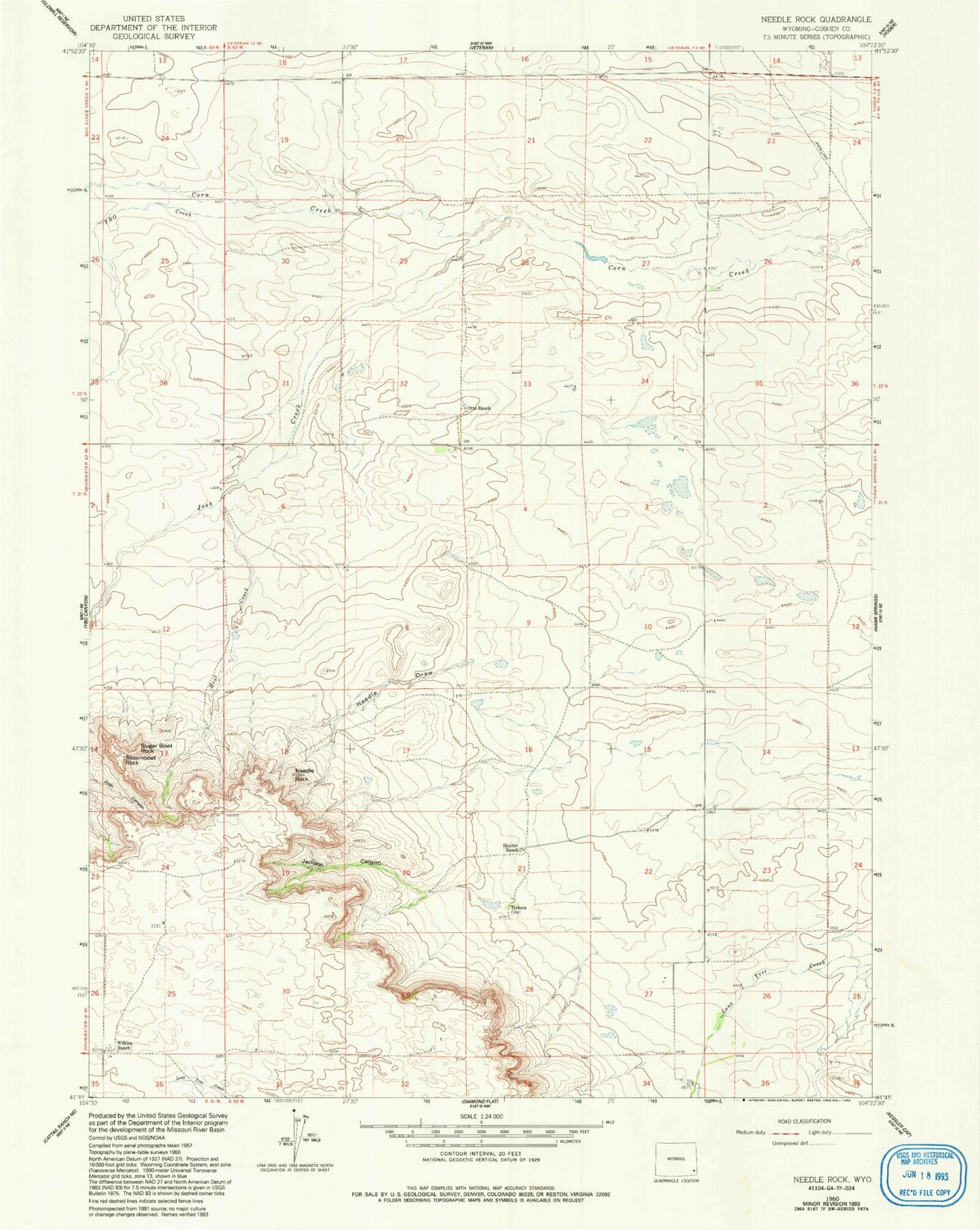
Historical USGS topographic quad map of Needle Rock in the state of Wyoming. Map scale may vary for some years, but is generally around 1:24,000. Print size is approximately 24" x 27"
This quadrangle is in the following counties: Goshen.
The map contains contour lines, roads, rivers, towns, and lakes. Printed on high-quality waterproof paper with UV fade-resistant inks, and shipped rolled.
Contains the following named places: Goshen Hole Division, Hoyt Creek, Hunter Ranch, Jackson Canyon, Josh Canyon, Josh Creek, Needle Draw, Needle Rock, Otto Ranch, Steamboat Rock, Sugar Bowl Rock, Trelona, Wilkins Ranch, YBO Creek