MyTopo
Classic USGS Needmore Alabama 7.5'x7.5' Topo Map
Couldn't load pickup availability
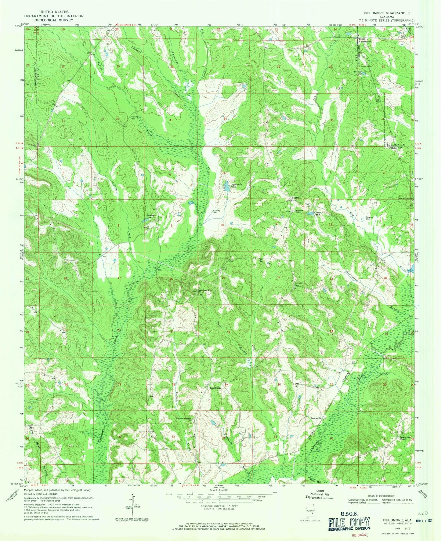
Historical USGS topographic quad map of Needmore in the state of Alabama. Map scale may vary for some years, but is generally around 1:24,000. Print size is approximately 24" x 27"
This quadrangle is in the following counties: Bullock, Montgomery, Pike.
The map contains contour lines, roads, rivers, towns, and lakes. Printed on high-quality waterproof paper with UV fade-resistant inks, and shipped rolled.
Contains the following named places: Bells Chapel Church, Benevolent Grove Church, Browns Mill Creek, Conecuh, Copelands Pond, Costons Pond, Crooked Creek, Dry Creek, Fryers Branch Post Office, Full Gospel Church, Greater Dunn Chapel, Henderson Lake Dam, Hurricane Branch, Indian Creek, Jackson Creek, Jonesville, Lewis, Logton, McNeil - Townsend Cemetery, Murphys Chapel Church, Needmore, Needmore Division, New Mount Pleasant Missionary Baptist Church, Panther Creek, Ross Branch, Shirley Pond, Stills Cemetery, Stills Crossroads, Tick Hill Cemetery, Williams and Andrew Jackson Cemetery, Williams Memorial Presbyterian Church, ZIP Code: 36081