MyTopo
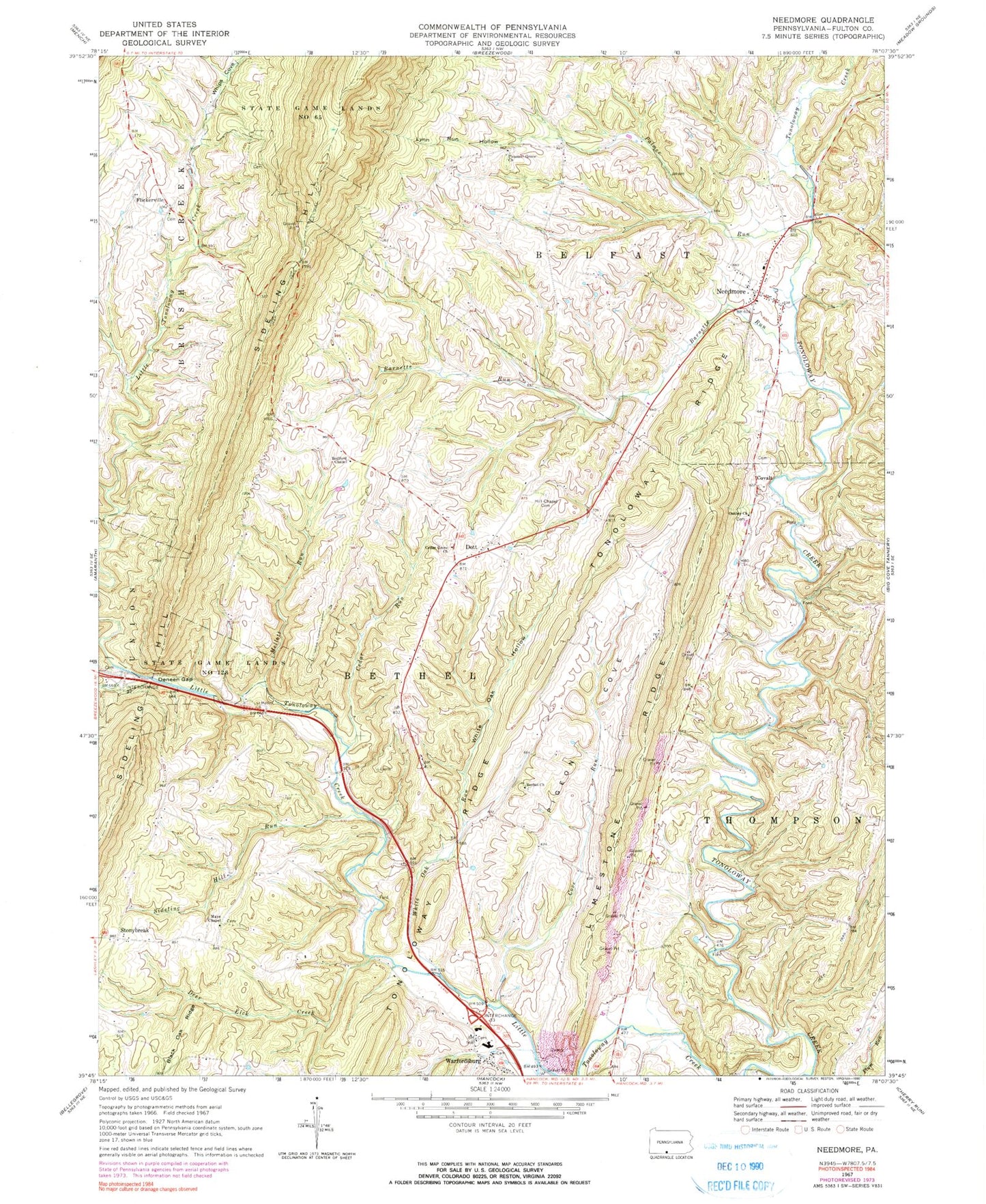
Classic USGS Needmore Pennsylvania 7.5'x7.5' Topo Map
Couldn't load pickup availability
Historical USGS topographic quad map of Needmore in the state of Pennsylvania. Map scale may vary for some years, but is generally around 1:24,000. Print size is approximately 24" x 27"
This quadrangle is in the following counties: Fulton.
The map contains contour lines, roads, rivers, towns, and lakes. Printed on high-quality waterproof paper with UV fade-resistant inks, and shipped rolled.
Contains the following named places: Barnetts Run, Bedford Chapel, Bethel Church, Bethel Community Church Cemetery, Black Oak Ridge, Black Oak Ridge 1, Cedar Grove Cemetery, Cedar Grove Church, Cedar Run, Covalt, Cove Run, Deer Lick Creek, Deneen Gap, Dott, Flickerville, Hill Chapel Cemetery, Indian Grave Run, Jerusalem Church, Limestone Ridge, Lynn Run Hollow, Mays Chapel, Mays Chapel Christian Church Cemetery, McKees Run, Mellot Run, Needmore, Needmore Bible Church Cemetery, Needmore Census Designated Place, Needmore Post Office, Needmore Volunteer Fire Company - Station 55, Oakley Church, Oakley Methodist Cemetery, Palmer Run, Pigeon Cove, Pleasant Grove Cemetery, Presbyterian Church Cemetery, Sideling Hill Run, State Game Lands Number 128, State Game Lands Number 65, Stonybreak, Township of Bethel, Warfordsburg, Warfordsburg Methodist Cemetery, Warfordsburg Post Office, Warfordsburg Quarry, Whips Cove, Whips Cove Cemetery, White Oak Hollow, White Oak Run, ZIP Codes: 17238, 17267


