MyTopo
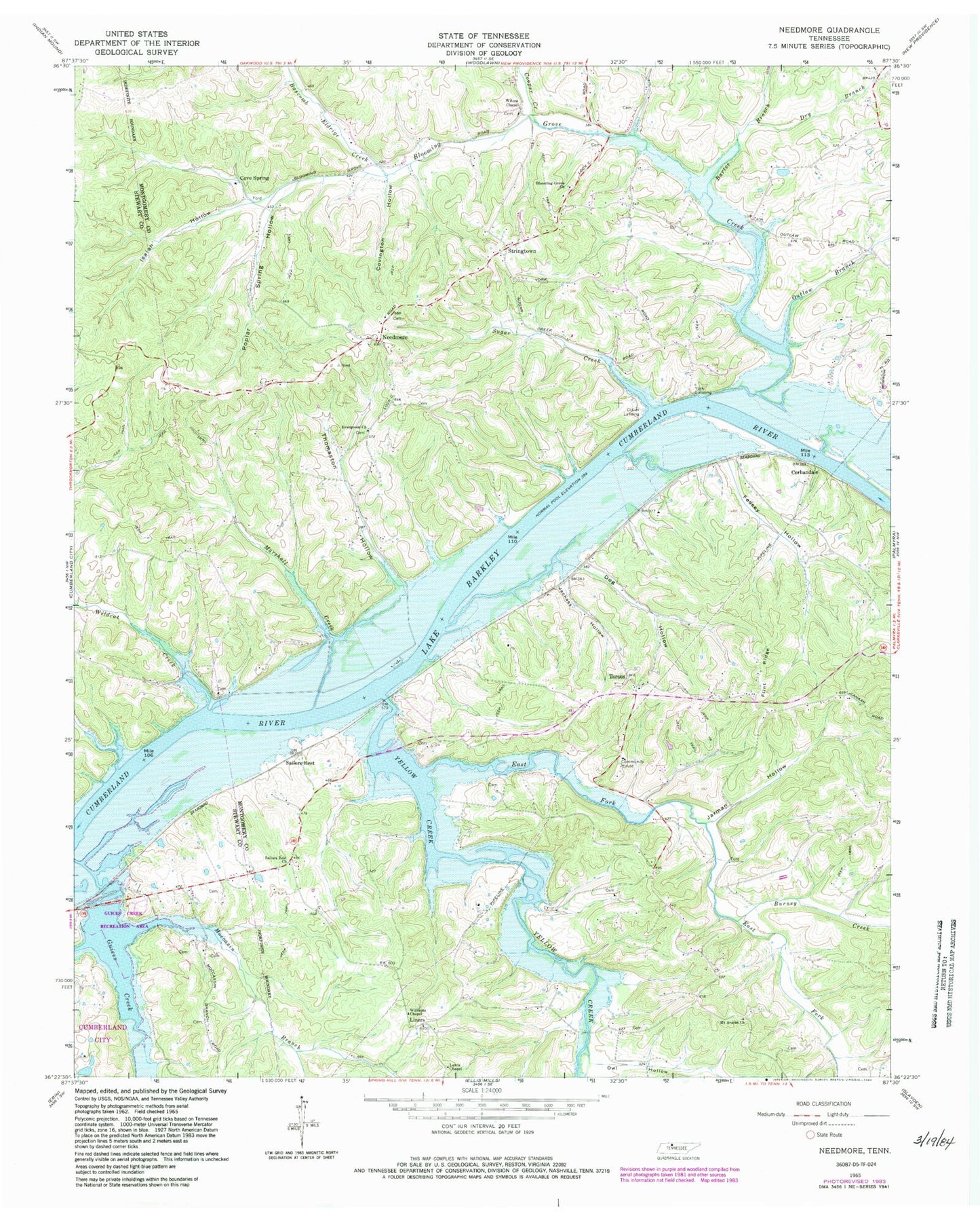
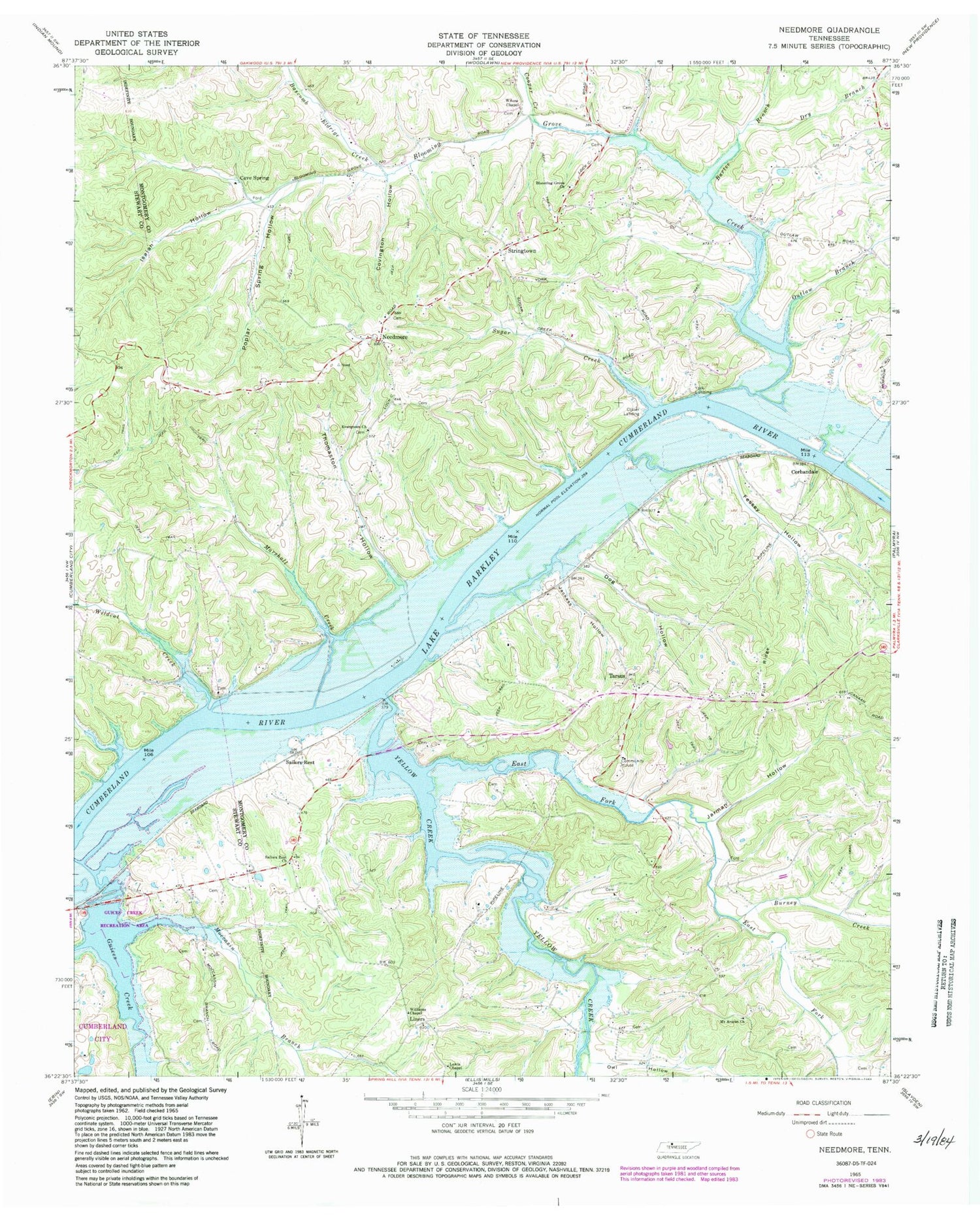
Classic USGS Needmore Tennessee 7.5'x7.5' Topo Map
Couldn't load pickup availability
Historical USGS topographic quad map of Needmore in the state of Tennessee. Map scale may vary for some years, but is generally around 1:24,000. Print size is approximately 24" x 27"
This quadrangle is in the following counties: Montgomery, Stewart.
The map contains contour lines, roads, rivers, towns, and lakes. Printed on high-quality waterproof paper with UV fade-resistant inks, and shipped rolled.
Contains the following named places: Bartee Branch, Bascomb Eldrige Creek, Bear Creek, Bellamy, Blooming Grove Church, Blooming Grove Creek, Bowling Green Hollow, Burney Creek, Cave Spring, Central School, Collier Landing, Commissioner District 7, Cooper Creek, Corbandale, Covington Hollow, District 19, District 9, Dog Hollow, Dry Branch, Dunbars Landing, East Fork Yellow Creek, Evergreen Church, Evergreen School, Fessey Hollow, Flint Ridge, Guices Creek, Guices Creek Recreation Area, Gunson Ridge, Isaiah Hollow, Jackass Hollow, Jarman Hollow, Legs Landing, Lewis Chapel, Liners, Liners Chapel School, Lock C, Major Lewis Landing, Marshall Creek, McKendree Church, Moccasin Branch, Mount Ararat Church, Mount Ararat School, Needmore, New York, Newman Hollow, Outlaw Branch, Outlaw Landing, Owl Hollow, Palmyra Volunteer Fire Department, Poplar Spring Furnace, Poplar Spring Hollow, Reynolds Landing, Sailors Rest, Sailors Rest Church, Sailors Rest Landing, Schuff Hollow, Steele Furnace, Stringtown, Sugar Creek, Tarsus, Tarsus Church, Taylors Grove Church, Thomaston Hollow, Union School, Wildcat Creek, Wilees Chapel, Williams Chapel, Wilson Chapel, Woodlawn-Dotsonville Division, Yellow Creek, Yellow Creek Forge, Yellow Creek Tow Head, York Landing, ZIP Code: 37142


