MyTopo
Classic USGS Negaunee NW Michigan 7.5'x7.5' Topo Map
Regular price
$16.95
Regular price
Sale price
$16.95
Unit price
per
Couldn't load pickup availability
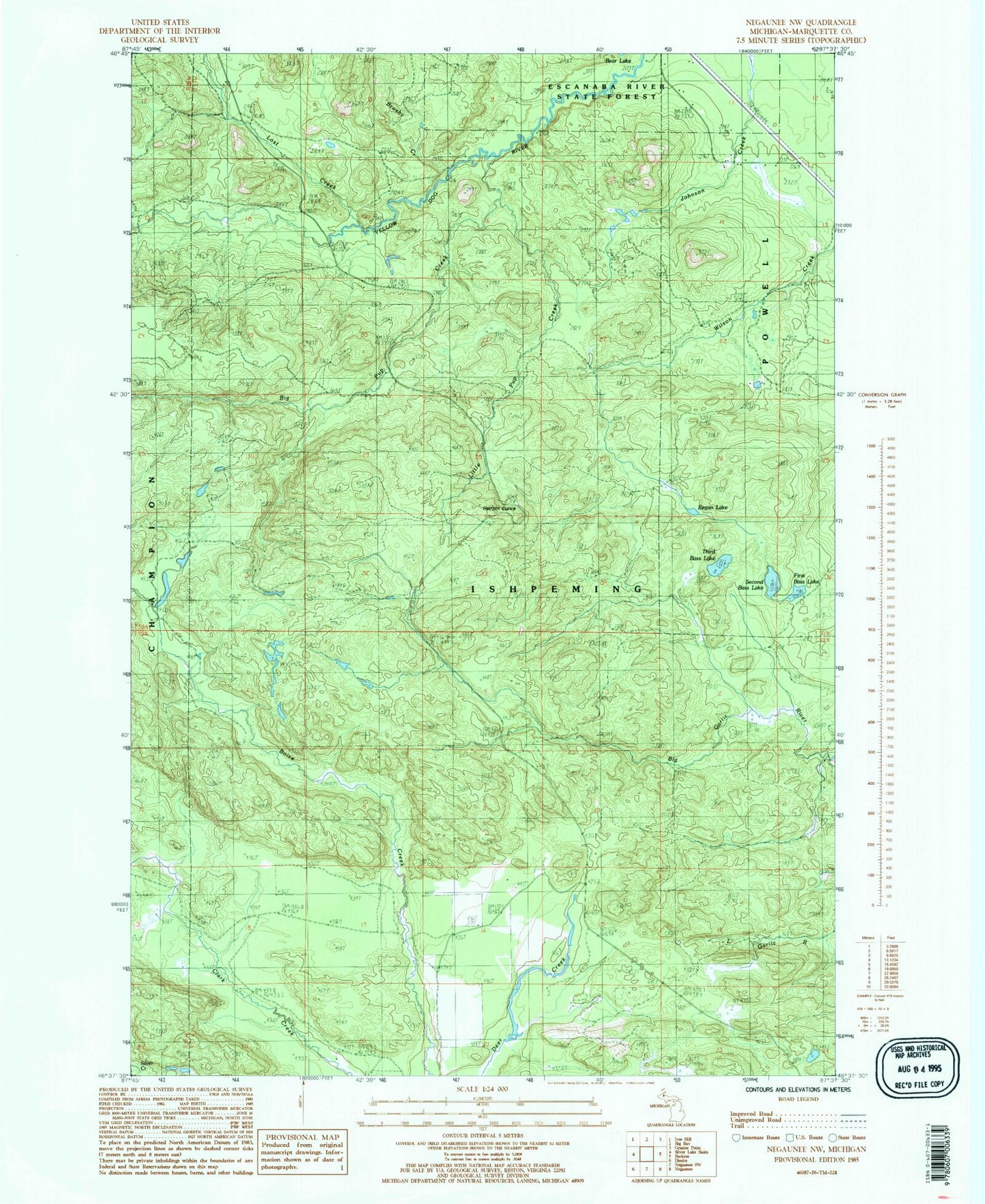
Historical USGS topographic quad map of Negaunee NW in the state of Michigan. Typical map scale is 1:24,000, but may vary for certain years, if available. Print size: 24" x 27"
This quadrangle is in the following counties: Marquette.
The map contains contour lines, roads, rivers, towns, and lakes. Printed on high-quality waterproof paper with UV fade-resistant inks, and shipped rolled.
Contains the following named places: Big Pup Creek, First Bass Lake, Little Pup Creek, Lost Creek, North Star Camp, Regan Lake, Second Bass Lake, Hairpin Curve Lookout Tower, Township of Ishpeming, Third Bass Lake, Big Garlic River Falls, Yellow Dog River Falls, Big Pup Falls, Bushy Creek Falls