MyTopo
Classic USGS Negaunee SW Michigan 7.5'x7.5' Topo Map
Couldn't load pickup availability
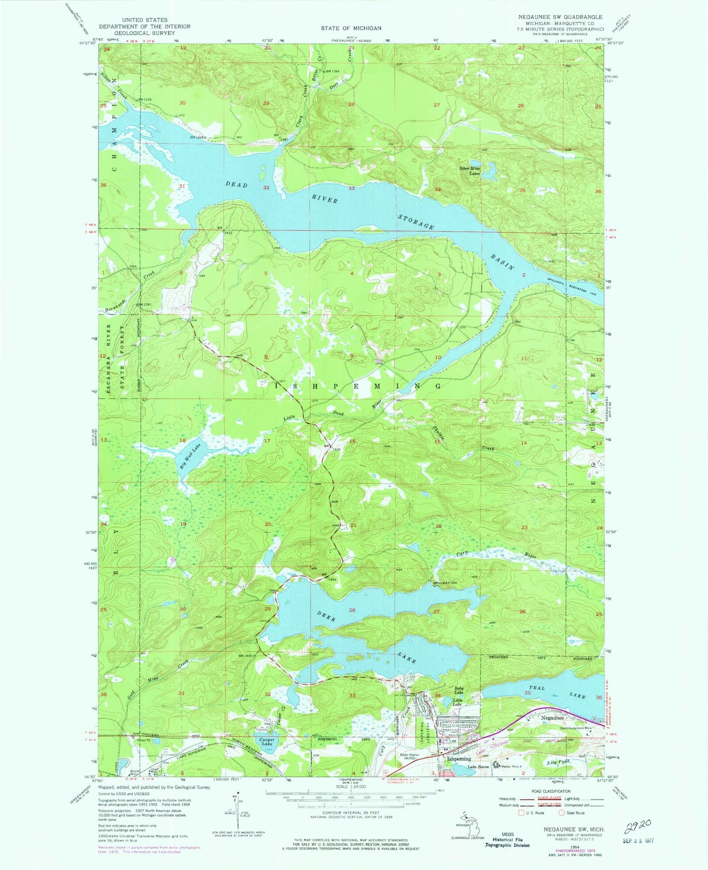
Historical USGS topographic quad map of Negaunee SW in the state of Michigan. Typical map scale is 1:24,000, but may vary for certain years, if available. Print size: 24" x 27"
This quadrangle is in the following counties: Marquette.
The map contains contour lines, roads, rivers, towns, and lakes. Printed on high-quality waterproof paper with UV fade-resistant inks, and shipped rolled.
Contains the following named places: Gold Mine Creek, Baby Lake, Lake Bacon, Barnhardt Creek, Big Mud Lake, Boise Creek, Cambria-Jackson Mine, Carp Creek, Clark Creek, Cooper Creek, Cooper Lake, Dead River Storage Basin, Deer Creek, Deer Lake, Ishpeming Cemetery, Lily Pond, Little Dead River, Little Lake, Lloyd Mine, Mather Mine A, Morris Mine, Silver Creek, Silver Mine Lakes, Teal Lake, Zhulkie Creek, WJPD-AM (Ishpeming), Bethany Lutheran Church, Saint Joseph Church, Temple Beth Sholom, Wesley United Methodist Church, Country Village RV Park, Birchview Elementary School, Al Quaal Recreation Area, Teal Lake Medical Center, Mother Baseball Diamond, UPHS Bell Hospital, Ishpeming: Historic Ski Center Historical Marker, Willow Creek