MyTopo
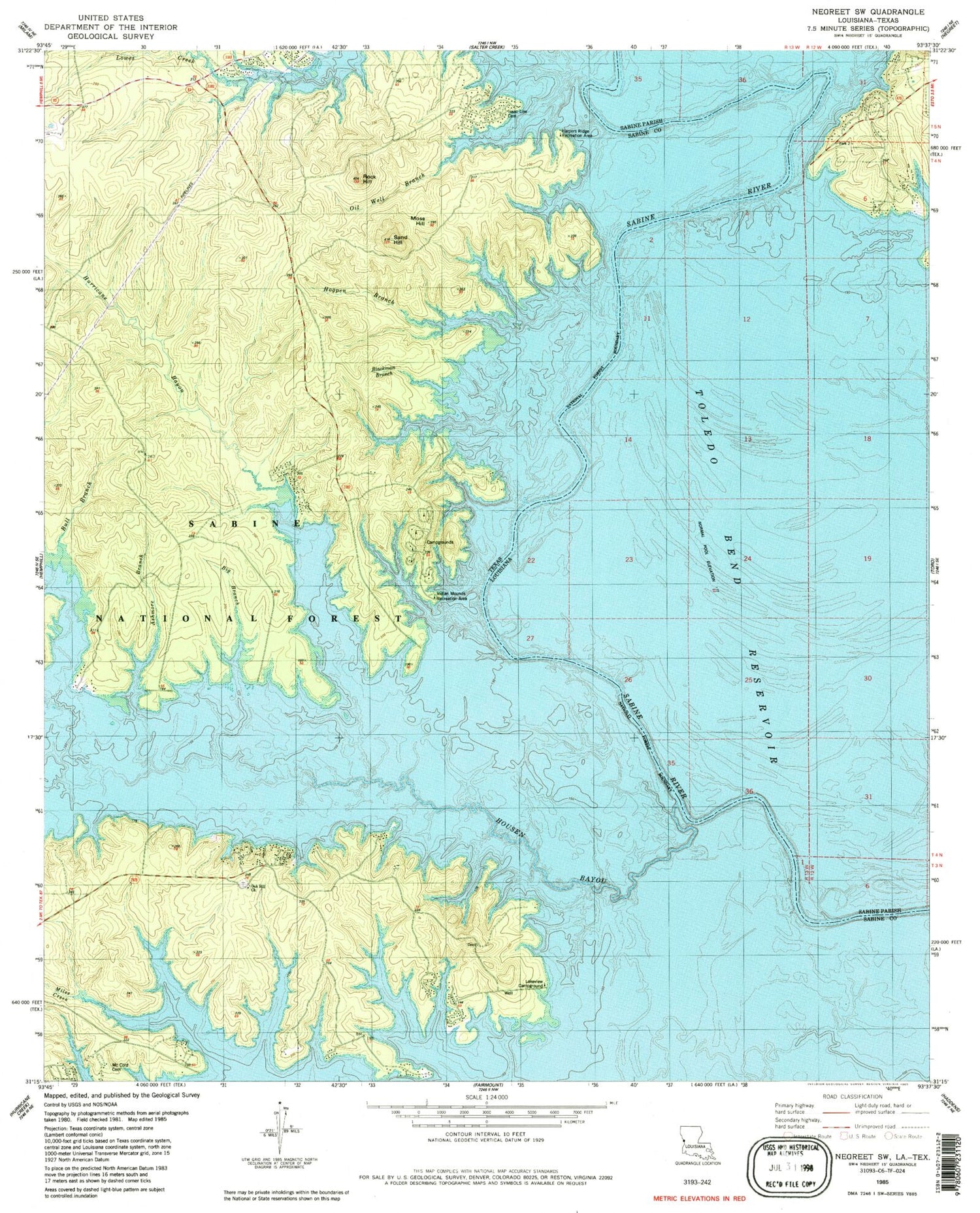
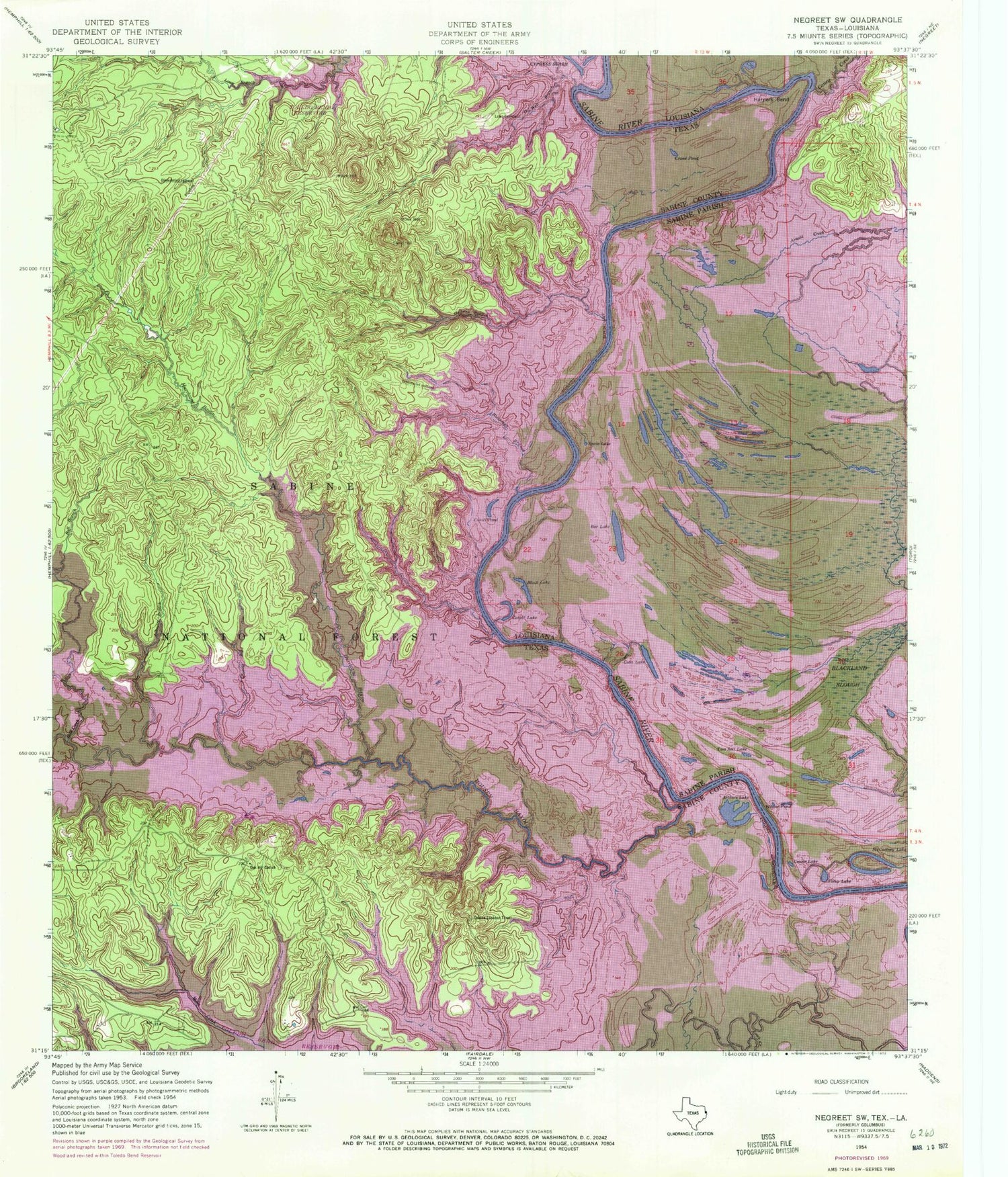
Classic USGS Negreet SW Texas 7.5'x7.5' Topo Map
Couldn't load pickup availability
Historical USGS topographic quad map of Negreet SW in the states of Texas, Louisiana. Typical map scale is 1:24,000, but may vary for certain years, if available. Print size: 24" x 27"
This quadrangle is in the following counties: Sabine.
The map contains contour lines, roads, rivers, towns, and lakes. Printed on high-quality waterproof paper with UV fade-resistant inks, and shipped rolled.
Contains the following named places: Arthurs Lake, Crane Pond (historical), Cutoff Pond (historical), Harpers Bend (historical), Ashmore Branch, Big Branch, Blackmail Branch, Bull Creek, Hegren Branch, Hurricane Bayou, Isaac Low Cemetery, Lowes Creek, Moss Hill, Oak Hill Church, Oil Well Branch, Rock Hill, Sand Hill, Bull Creek, Coma Creek, Housen Bayou, Sixmile Creek, Sixmile Creek, Indian Mounds Wilderness, Sabine Lookout Tower, Oak Hill Cemetery, McCord Cemetery, Bar Lake School (historical), Columbus (historical), Gordon Shoals, Green Lake (historical), Gum Slough (historical), Robertson Ferry (historical), Saint Johns Church (historical), Saint Mary Church (historical), Bar Lake, Black Lake, Blackland Slough, Cutoff Lake, Ferry Lake, Grocer Lake, Gum Lake, McCartney Lake, Spate Lake, Tom Self Lake, Willow Pond, Godwins Ferry (historical), Saint James Church (historical)


