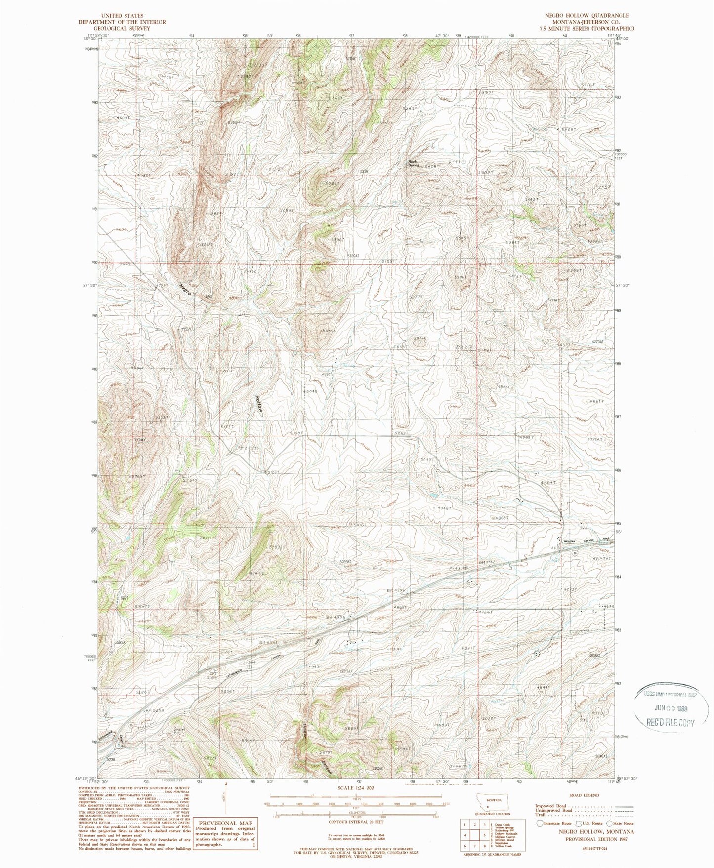
MyTopo
Classic USGS Negro Hollow Montana 7.5'x7.5' Topo Map
Regular price
$16.95
Regular price
Sale price
$16.95
Unit price
per
Couldn't load pickup availability
Historical USGS topographic quad map of Negro Hollow in the state of Montana. Map scale may vary for some years, but is generally around 1:24,000. Print size is approximately 24" x 27"
This quadrangle is in the following counties: Jefferson.
The map contains contour lines, roads, rivers, towns, and lakes. Printed on high-quality waterproof paper with UV fade-resistant inks, and shipped rolled.
Contains the following named places: 02N02W26ACCA01 Well, 59721, A Shanholtzer Ranch, Ballard Ranch, Brenner Ranch, Eureka School, G Ballard Ranch, Hager Ranch, Heule Ranch, Murphy Ranch, Negro Hollow, O Shanholtzer Ranch, Raffety Ranch, Rock Spring, Thompson Ranch, Timber Canyon, Tribble Ranch, Watson Ranch