MyTopo
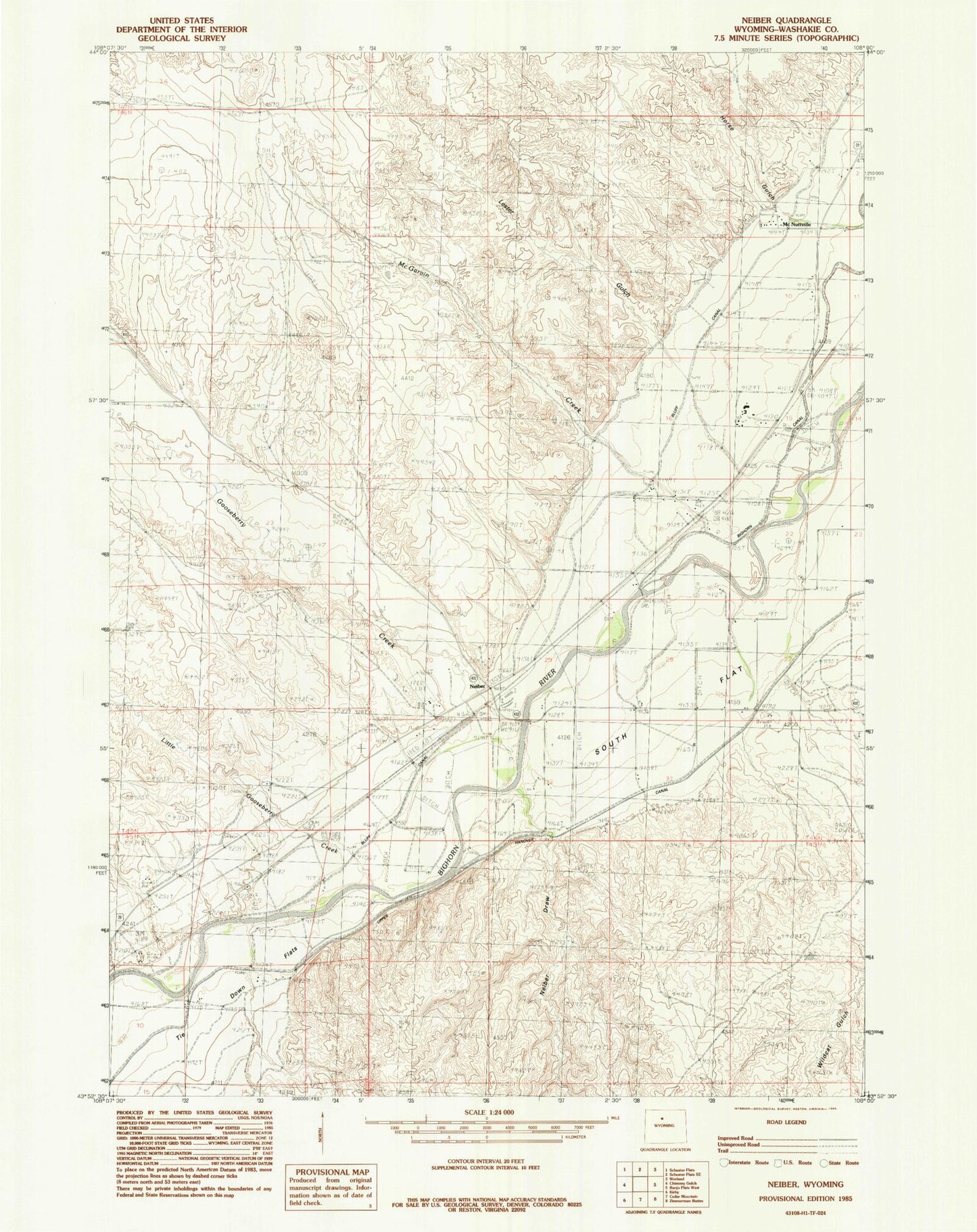
Classic USGS Neiber Wyoming 7.5'x7.5' Topo Map
Couldn't load pickup availability
Historical USGS topographic quad map of Neiber in the state of Wyoming. Map scale may vary for some years, but is generally around 1:24,000. Print size is approximately 24" x 27"
This quadrangle is in the following counties: Washakie.
The map contains contour lines, roads, rivers, towns, and lakes. Printed on high-quality waterproof paper with UV fade-resistant inks, and shipped rolled.
Contains the following named places: Bluff Ditch, Colter, Gooseberry Creek, Little Gooseberry Creek, McNutt Census Designated Place, Neiber Draw, Neiber Ghost Town Cemetery, Neiber Pulliam Station, South Flat, South Flat Census Designated Place, South Flat School, Tie Down Flats, Winchester Census Designated Place, Worland Division, Wyoming Industrial Institute