MyTopo
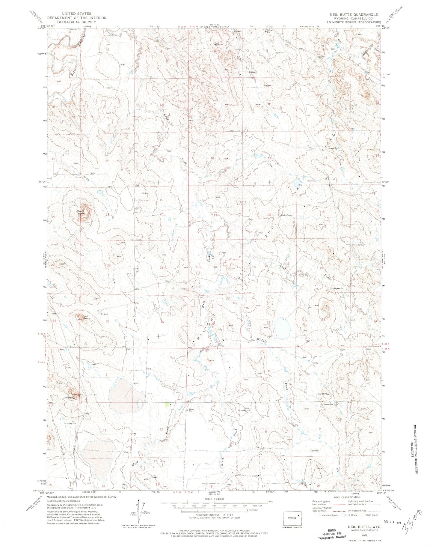
Classic USGS Neil Butte Wyoming 7.5'x7.5' Topo Map
Regular price
$16.95
Regular price
Sale price
$16.95
Unit price
per
Couldn't load pickup availability
Historical USGS topographic quad map of Neil Butte in the state of Wyoming. Map scale may vary for some years, but is generally around 1:24,000. Print size is approximately 24" x 27"
This quadrangle is in the following counties: Campbell.
The map contains contour lines, roads, rivers, towns, and lakes. Printed on high-quality waterproof paper with UV fade-resistant inks, and shipped rolled.
Contains the following named places: Alcott School, Belle Pumping Station, East Fork Coal Creek, Hay Pumping Station, Hilight Oil and Gas Field, Kintz Creek, Middle Fork Coal Creek, Mount Logan, Neil Butte, Rough Creek, Thunder Basin Coal Company - Coal Creek Mine Fire Department, West Fork Coal Creek