MyTopo
Classic USGS Nelson Mountain California 7.5'x7.5' Topo Map
Couldn't load pickup availability
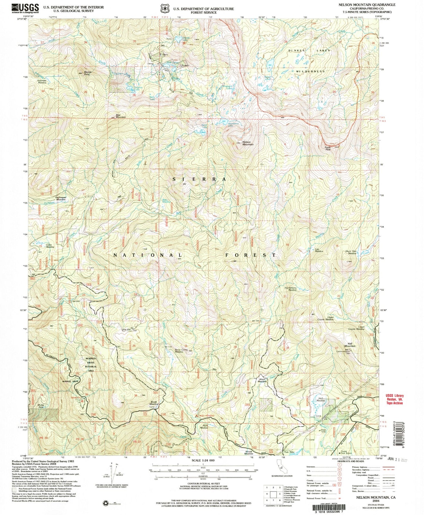
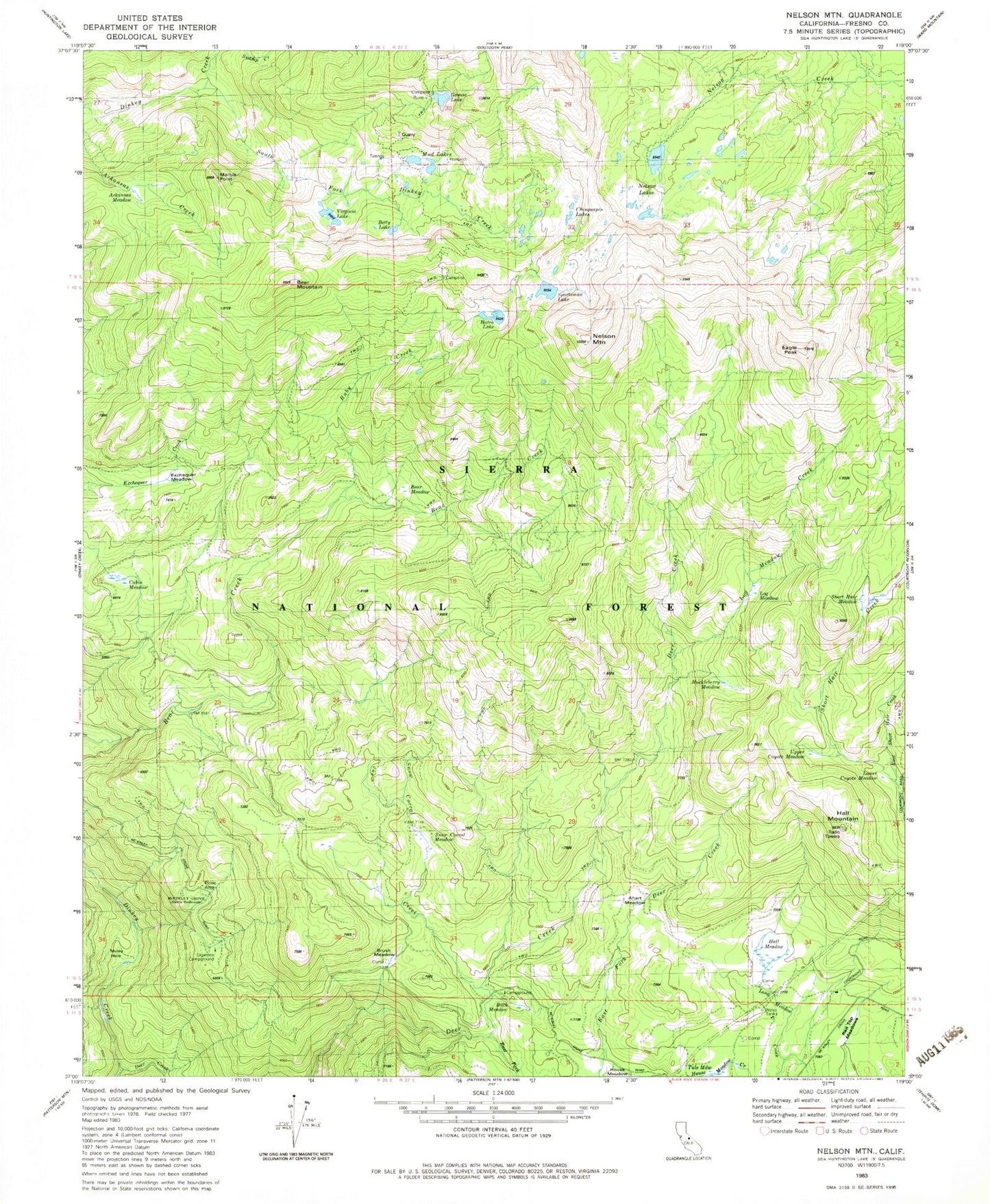
Historical USGS topographic quad map of Nelson Mountain in the state of California. Typical map scale is 1:24,000, but may vary for certain years, if available. Print size: 24" x 27"
This quadrangle is in the following counties: Fresno.
The map contains contour lines, roads, rivers, towns, and lakes. Printed on high-quality waterproof paper with UV fade-resistant inks, and shipped rolled.
Contains the following named places: Ahart Meadow, Arkansas Meadow, Bear Meadow, Bear Mountain, Betty Lake, Brush Meadow, Buck Meadow, Cabin Meadow, Chinquapin Lakes, Eagle Peak, Excheque Meadow, Game Dike Mine, Grouse Lake, Hall Meadow, Hall Mountain, Hatch Lake, House Meadow, Marble Point, McKinley Grove, Mud Lakes, Muley Hole, Nelson Lakes, Nelson Mountain, Ruby Creek, Short Hair Meadow, Snow Corral Creek, Snow Corral Meadow, Sportsman Lake, Swamp Creek, Tule Meadow, Virginia Lake, East Fork Deer Creek, McKinley Grove Picnic Area, Giagantea Campground, Buck Meadow Campground, Clydes Pack Station, East Short Hair Creek, Huckleberry Meadow, Log Meadow, Log Meadow Creek, Lower Coyote Meadow, Red Top Meadows, Upper Coyote Meadow, Sierra Division