MyTopo
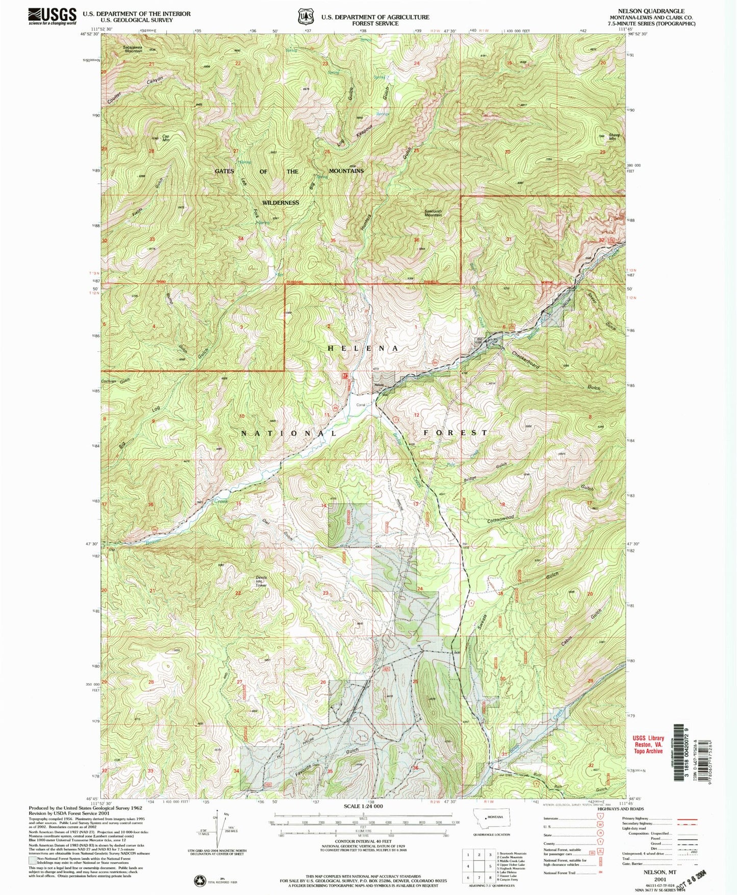
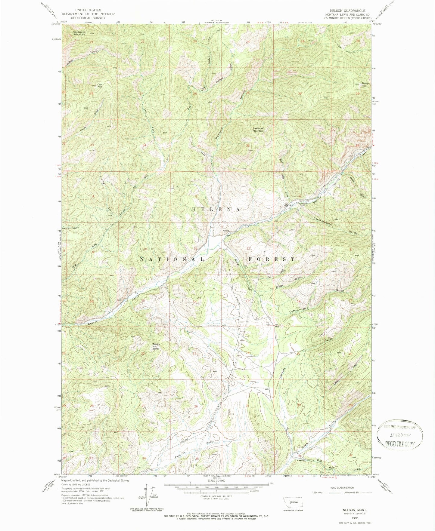
Classic USGS Nelson Montana 7.5'x7.5' Topo Map
Couldn't load pickup availability
Historical USGS topographic quad map of Nelson in the state of Montana. Typical map scale is 1:24,000, but may vary for certain years, if available. Print size: 24" x 27"
This quadrangle is in the following counties: Lewis and Clark.
The map contains contour lines, roads, rivers, towns, and lakes. Printed on high-quality waterproof paper with UV fade-resistant inks, and shipped rolled.
Contains the following named places: Gates of the Mountains Wilderness, Turnout Spring, Owl Gulch, Bear Gulch Creek, Bridge Creek, Bridge Gulch, Bull Run Gulch, Cabin Gulch, Cap Mountain, Checkerboard Gulch, Checkerboard Ranger Station, Cottonwood Gulch, Devils Tower, Hunters Gulch, Keepout Gulch, Left Fork Big Log Gulch, Nelson, Pole Creek, Sacajawea Mountain, Sawtooth Mountain, Sheep Gulch, Sheep Mountain, Stump Gulch, Sweats Gulch, Doig Mine, Nelson School (historical), Nelson Post Office (historical)


