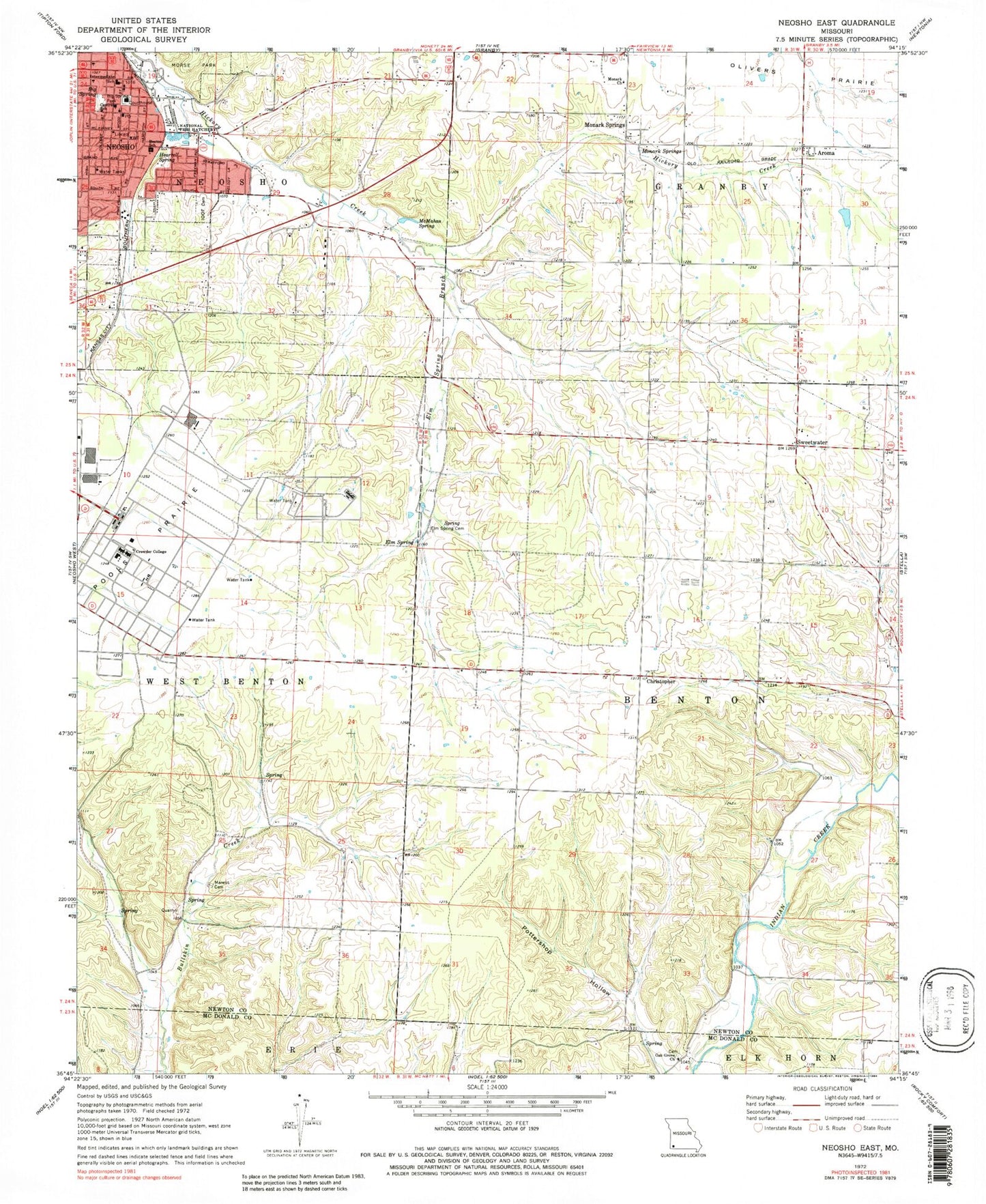
MyTopo
Classic USGS Neosho East Missouri 7.5'x7.5' Topo Map
Couldn't load pickup availability
Historical USGS topographic quad map of Neosho East in the state of Missouri. Map scale may vary for some years, but is generally around 1:24,000. Print size is approximately 24" x 27"
This quadrangle is in the following counties: McDonald, Newton.
The map contains contour lines, roads, rivers, towns, and lakes. Printed on high-quality waterproof paper with UV fade-resistant inks, and shipped rolled.
Contains the following named places: Aroma, Benton Elementary School, Benton School, Big Spring, Big Spring Park, Camp Crowder, Central Elementary School, Christopher, Christopher School, City of Neosho, Cloverleaf School, Crowder College, Elm Spring, Elm Spring Branch, Elm Spring Cemetery, Five Points School, Freeman Neosho Hospital, Hearrell Spring, June, KBTN-AM (Neosho), Maness Cemetery, McMahan Spring, Monark Church, Monark School, Monark Springs, Morse Park, Neosho, Neosho Fire Department Station 1, Neosho National Fish Hatchery, Neosho Police Department, Neosho Post Office, Newton County Sheriff's Office, Oak Grove Church, Oakgrove School, Pleasant Valley School, Pottershop Hollow, School Number 93, Spring School, Stuffle Dam, Sweetwater, Township of Benton