MyTopo
Classic USGS Nestoria Michigan 7.5'x7.5' Topo Map
Regular price
$16.95
Regular price
Sale price
$16.95
Unit price
per
Couldn't load pickup availability
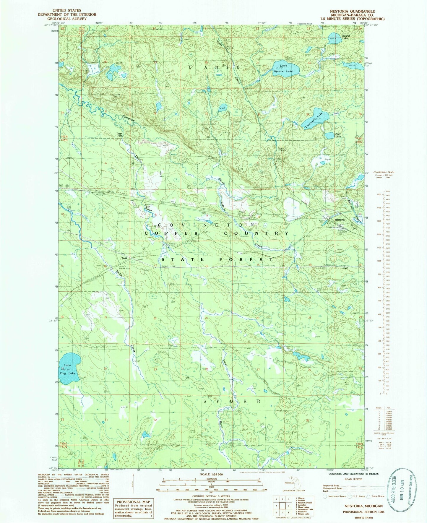
Historical USGS topographic quad map of Nestoria in the state of Michigan. Typical map scale is 1:24,000, but may vary for certain years, if available. Print size: 24" x 27"
This quadrangle is in the following counties: Baraga.
The map contains contour lines, roads, rivers, towns, and lakes. Printed on high-quality waterproof paper with UV fade-resistant inks, and shipped rolled.
Contains the following named places: Dommer Lake, Lateral Creek, Little King Lake, Little Spruce Lake, Norr Lake, Round Lake, Tioga River, Tioga, Nestoria, Tama Creek, Tioga Falls, No Name Falls, Upper Sturgeon Falls, Nestoria Post Office (historical), Nestoria Station, LeMays Lake