MyTopo
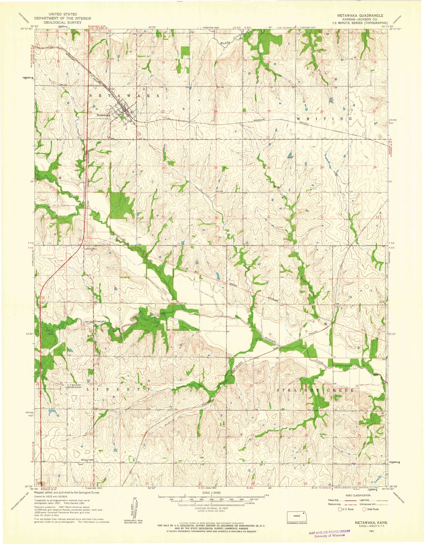
Classic USGS Netawaka Kansas 7.5'x7.5' Topo Map
Couldn't load pickup availability
Historical USGS topographic quad map of Netawaka in the state of Kansas. Map scale may vary for some years, but is generally around 1:24,000. Print size is approximately 24" x 27"
This quadrangle is in the following counties: Jackson.
The map contains contour lines, roads, rivers, towns, and lakes. Printed on high-quality waterproof paper with UV fade-resistant inks, and shipped rolled.
Contains the following named places: Bateman School, City of Netawaka, Jackson Heights Elementary School, Jackson Heights High and Middle School, Mosquito Creek, Netawaka, Netawaka Cemetery, Netawaka Post Office, Netawaka Rural Fire District 6, Netawaka Wastewater Treatment Plant, North Jackson Unified School District Office, Spring Creek, Township of Liberty, Township of Netawaka, Township of Straight Creek, ZIP Code: 66552