MyTopo
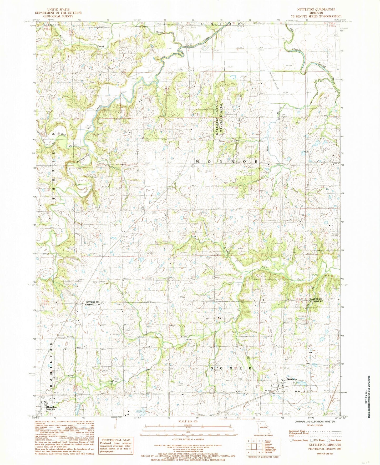
Classic USGS Nettleton Missouri 7.5'x7.5' Topo Map
Couldn't load pickup availability
Historical USGS topographic quad map of Nettleton in the state of Missouri. Map scale may vary for some years, but is generally around 1:24,000. Print size is approximately 24" x 27"
This quadrangle is in the following counties: Caldwell, Daviess.
The map contains contour lines, roads, rivers, towns, and lakes. Printed on high-quality waterproof paper with UV fade-resistant inks, and shipped rolled.
Contains the following named places: Bear Branch, Bear Branch School, Byron Simpson Lake, Byron Simpson Lake Dam, Dog Creek, Foley School, Hamilton Middle School, Haw Branch, Haw Branch School, Hickory Grove School, John Simpson Lake Dam, Johnson Lake, Johnson Land Development Lake Dam, Locust Grove School, Long Branch, Marrowbone Creek, Monroe Chapel, Mount Pleasant School, Nettleton, Penney High School, Penny Lake, Prairie View School, Shinar School, Township of Monroe, Whitt School