MyTopo
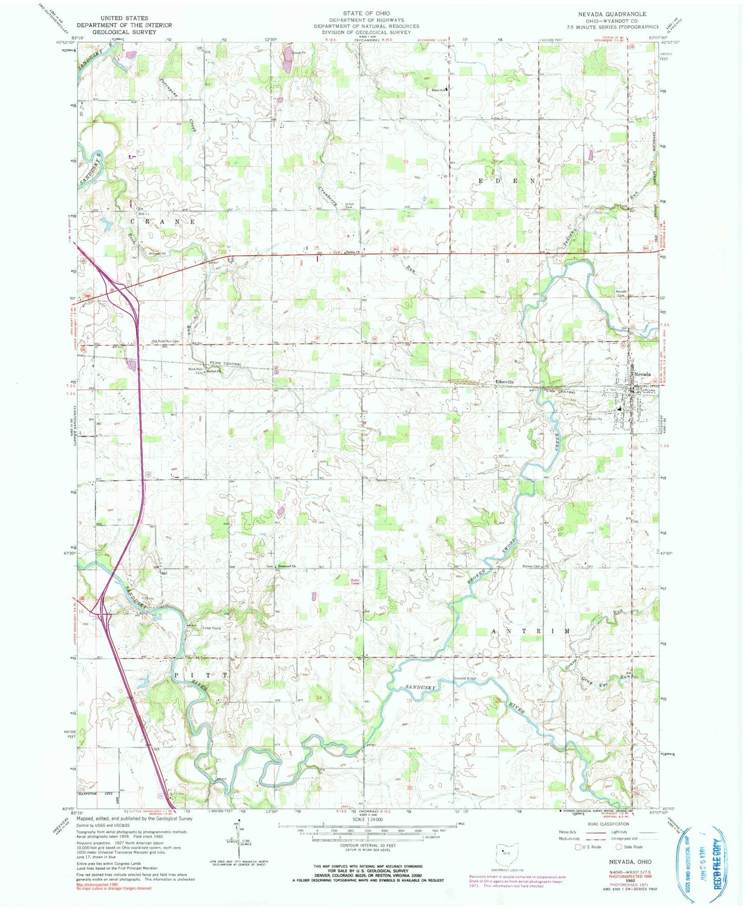
Classic USGS Nevada Ohio 7.5'x7.5' Topo Map
Couldn't load pickup availability
Historical USGS topographic quad map of Nevada in the state of Ohio. Map scale may vary for some years, but is generally around 1:24,000. Print size is approximately 24" x 27"
This quadrangle is in the following counties: Wyandot.
The map contains contour lines, roads, rivers, towns, and lakes. Printed on high-quality waterproof paper with UV fade-resistant inks, and shipped rolled.
Contains the following named places: Bethel Church, Broken Sword Creek, Burkes Cemetery, Camp Young, Douglass, Eden Elementary School, Edenville, Emanuel Cemetery, Emmanuel Church, Gilliland Cemetery, Grass Run, Gray Eye Run, Indian Run, KJM Farms, Lincoln Hill Golf Course, Little Sandusky River, McCarthy Stone Quarry, McClain Cemetery, Nevada, Nevada Cemetery, Nevada Lutheran Church, Nevada Post Office, Nevada United Methodist Church, Oak Grove School, Old Rock Run Cemetery, Pipetown Indian Number One Cemetery, Pipetown Indian Number Two Cemetery, Rock Run, Rock Run Cemetery, Salem Cemetery, Salem Church, Sandusky Plains, Smalley Farm, Swartz Bridge, Swartz Cemetery, Township of Antrim, Township of Eden, Ulrich Cemetery, Village of Nevada, WVZX-FM (Upper Sandusky), Wyandot East Fire and Rescue, Wyandot Indian Cemetery, Wynford South Elementary School, ZIP Code: 44849


