MyTopo
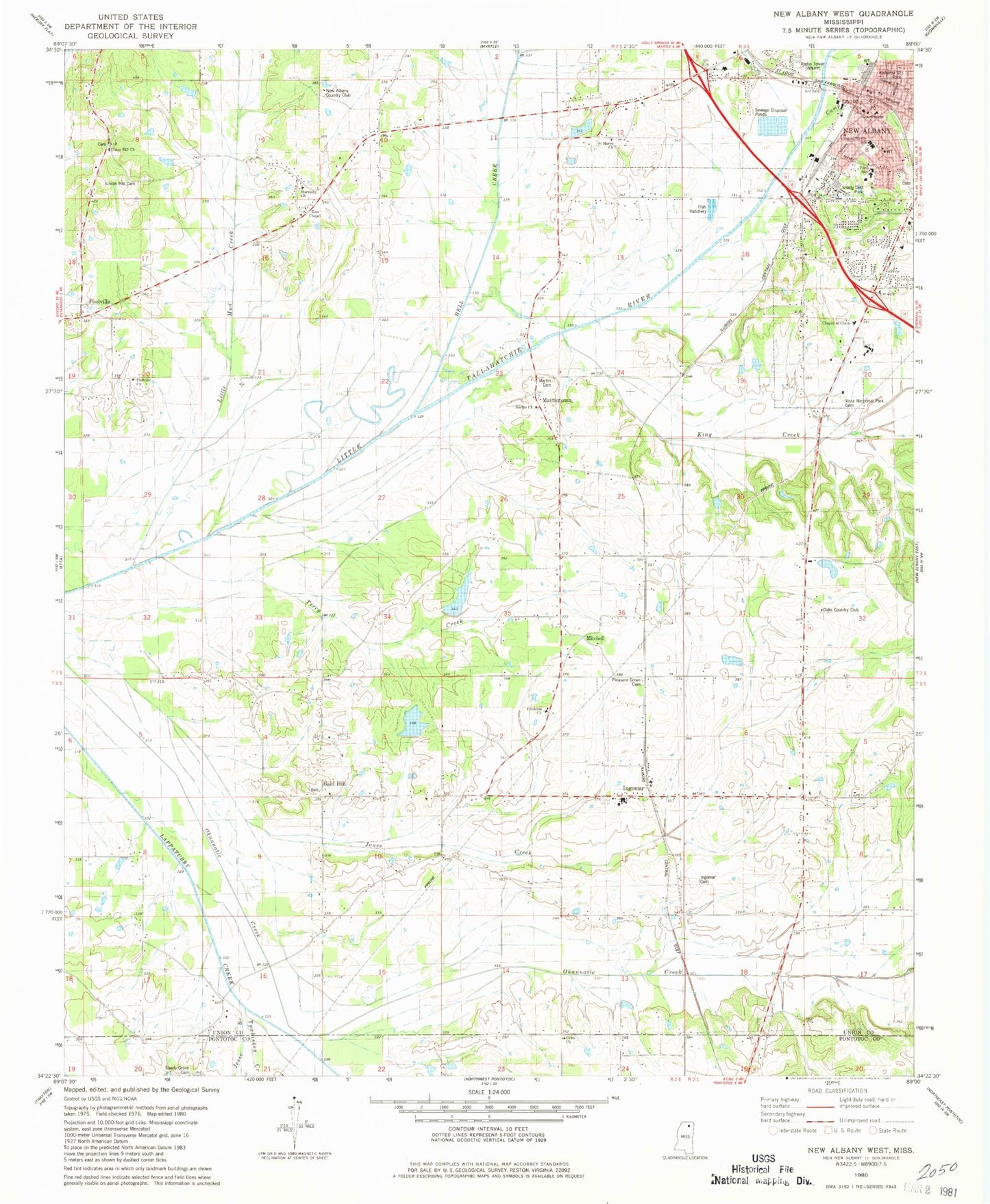
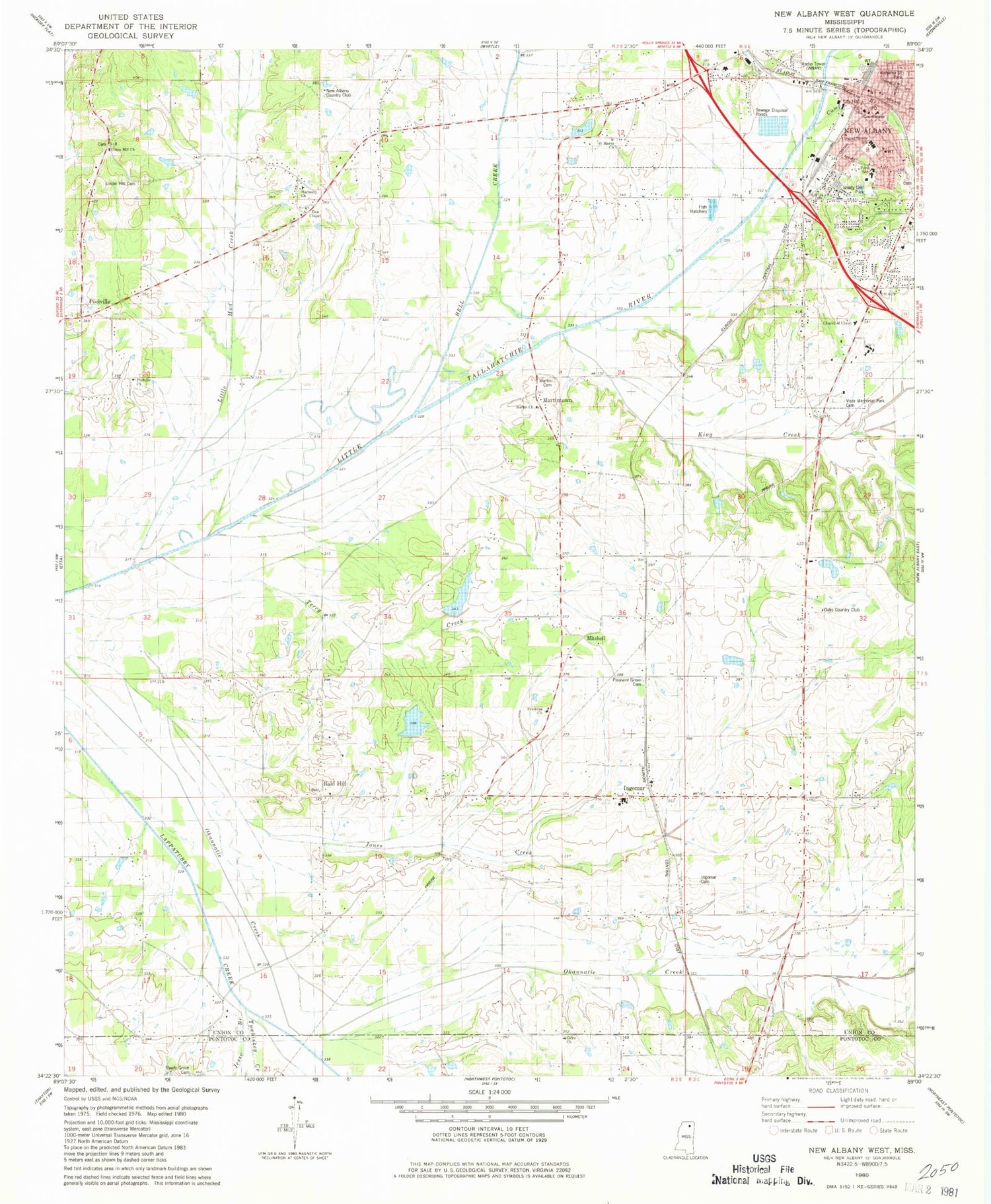
Classic USGS New Albany West Mississippi 7.5'x7.5' Topo Map
Couldn't load pickup availability
Historical USGS topographic quad map of New Albany West in the state of Mississippi. Map scale may vary for some years, but is generally around 1:24,000. Print size is approximately 24" x 27"
This quadrangle is in the following counties: Pontotoc, Union.
The map contains contour lines, roads, rivers, towns, and lakes. Printed on high-quality waterproof paper with UV fade-resistant inks, and shipped rolled.
Contains the following named places: Alabama Street Park, Bald Hill, Baptist Memorial Hospital - Union County, Bighams Mill, Billy Ferrell Pond Dam, Cairo, Cairo Church, Camp Branch, Central Middle School, Church of Christ, City of New Albany, Cleveland Street Presbyterian Church, Crone Lake Dam, Doctor E E Bramlitt Pond Dam, Fairview, First Baptist Church, First United Methodist Church, Ford Elementary School, Fredonia Church, Harmony Church, Hell Creek, Hillcrest Baptist Church, Ingomar, Ingomar Baptist Church, Ingomar Cemetery, Ingomar School, Ingomar Volunteer Fire Department, Jesse Branch, Jones Creek, King Creek, King Creek Bottoms, Little Mud Creek, Lone Star School, Martin Cemetery, Martin Church, Martintown, Martintown Recreational Lake Dam, Mississippi Highway Patrol North Region Troop F, Mitchell, Mitchell School, Mosley Lake Dam, New Albany, New Albany Cemetery, New Albany City Hall, New Albany Country Club, New Albany Fire Department Station 1 Headquarters, New Albany Police Department, New Albany Sewage Lagoon Dam, Oaks Country Club, Peck, Pickett Lake Dam, Pleasant Grove Cemetery, Pleasant Grove Church, Poolville, Poolville Church, Saint Francis of Assisi Catholic Church, Saint Marys Church, Saint Marys School, Sand Creek, Shady Dell Park, Shady Grove Church, Stewarts Chapel, Terry Creek, Tywhiskey Creek, Union County, Union County Courthouse, Union County Sheriff's Office, Union Hill Cemetery, Union Hill Church, Union School, Vista Memorial Park Cemetery, WNAU-AM (New Albany), WOKM-FM (New Albany), Zion Chapel


